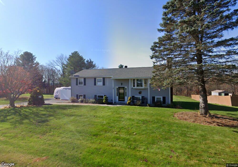
10 Raymond St Dudley, MA 01571
Estimated Value: $413,462 - $478,000
3
Beds
3
Baths
1,248
Sq Ft
$349/Sq Ft
Est. Value
About This Home
This home is located at 10 Raymond St, Dudley, MA 01571 and is currently estimated at $436,116, approximately $349 per square foot. 10 Raymond St is a home located in Worcester County with nearby schools including Shepherd Hill Regional High School.
Ownership History
Date
Name
Owned For
Owner Type
Purchase Details
Closed on
Sep 16, 2015
Sold by
Higgins James A
Bought by
Higgins James A and Higgins Annette R
Current Estimated Value
Purchase Details
Closed on
Apr 21, 2011
Sold by
Fnma
Bought by
Higgins James A
Home Financials for this Owner
Home Financials are based on the most recent Mortgage that was taken out on this home.
Original Mortgage
$181,000
Interest Rate
4.9%
Mortgage Type
Purchase Money Mortgage
Purchase Details
Closed on
Apr 7, 2010
Sold by
Navy Fcu
Bought by
Federal National Mortgage Association
Purchase Details
Closed on
Aug 8, 2000
Sold by
Labonte Arsene E
Bought by
Brill Joseph W and Brill Lisa A
Home Financials for this Owner
Home Financials are based on the most recent Mortgage that was taken out on this home.
Original Mortgage
$158,100
Interest Rate
8.1%
Mortgage Type
Purchase Money Mortgage
Create a Home Valuation Report for This Property
The Home Valuation Report is an in-depth analysis detailing your home's value as well as a comparison with similar homes in the area
Home Values in the Area
Average Home Value in this Area
Purchase History
| Date | Buyer | Sale Price | Title Company |
|---|---|---|---|
| Higgins James A | -- | -- | |
| Higgins James A | $181,000 | -- | |
| Federal National Mortgage Association | $201,204 | -- | |
| Brill Joseph W | $157,500 | -- |
Source: Public Records
Mortgage History
| Date | Status | Borrower | Loan Amount |
|---|---|---|---|
| Previous Owner | Higgins James A | $181,000 | |
| Previous Owner | Brill Joseph W | $160,800 | |
| Previous Owner | Brill Joseph W | $158,100 | |
| Previous Owner | Brill Joseph W | $123,250 |
Source: Public Records
Tax History
| Year | Tax Paid | Tax Assessment Tax Assessment Total Assessment is a certain percentage of the fair market value that is determined by local assessors to be the total taxable value of land and additions on the property. | Land | Improvement |
|---|---|---|---|---|
| 2025 | $41 | $392,100 | $78,100 | $314,000 |
| 2024 | $3,959 | $377,800 | $78,100 | $299,700 |
| 2023 | $3,591 | $353,400 | $68,200 | $285,200 |
| 2022 | $3,492 | $298,500 | $66,800 | $231,700 |
| 2021 | $3,300 | $268,300 | $63,600 | $204,700 |
| 2020 | $3,289 | $251,800 | $59,800 | $192,000 |
| 2019 | $3,463 | $256,500 | $59,800 | $196,700 |
| 2018 | $2,834 | $241,600 | $59,800 | $181,800 |
| 2017 | $2,536 | $212,400 | $59,800 | $152,600 |
| 2016 | $2,471 | $202,900 | $57,000 | $145,900 |
| 2015 | $2,342 | $191,000 | $57,000 | $134,000 |
Source: Public Records
Map
Nearby Homes
- 95 Ramshorn Rd
- 86 Ramshorn Rd
- 73 Dudley Hill Rd
- 249 Dudley Southbridge Rd
- 128 Old Southbridge Rd
- 24 Railroad Ave
- 10 Daves Way
- 126 Old Southbridge Rd
- 25 Quinebaug Rd
- 0 Putnam Rd
- 4 W Dudley Rd
- 180 Old Turnpike Rd
- 67 Breezy Ln
- 81 Parkway Dr
- 20 Brentwood Dr
- 768 Ashland Ave
- 87 Red Fox Blvd
- 115 Riverview Place Unit D
- 104 Riverview Place Unit C
- 3 6th Ave
- LOT Raymond St
- 12 Raymond St
- 6 Raymond St
- 6 Raymond St Unit 1
- 9 Raymond
- 13 Leo Ave
- 14 Raymond St
- 3 Raymond St
- 0 Raymond St
- 5 Leo Ave
- 15 Raymond St
- 266 Dresser Hill Rd
- 2 Raymond St
- 1 Raymond St
- 1 Leo Ave Unit 11
- 262 Dresser Hill Rd
- 18 Raymond St
- 19 Raymond St
- 278 Dresser Hill Rd Unit 8
- 278 Dresser Hill Rd Unit 6
Your Personal Tour Guide
Ask me questions while you tour the home.