10 Redding Ln Freeport, ME 04032
Estimated Value: $939,774 - $1,436,000
2
Beds
2
Baths
2,478
Sq Ft
$454/Sq Ft
Est. Value
About This Home
This home is located at 10 Redding Ln, Freeport, ME 04032 and is currently estimated at $1,125,444, approximately $454 per square foot. 10 Redding Ln is a home with nearby schools including Morse Street School, Mast Landing School, and Freeport Middle School.
Create a Home Valuation Report for This Property
The Home Valuation Report is an in-depth analysis detailing your home's value as well as a comparison with similar homes in the area
Home Values in the Area
Average Home Value in this Area
Tax History
| Year | Tax Paid | Tax Assessment Tax Assessment Total Assessment is a certain percentage of the fair market value that is determined by local assessors to be the total taxable value of land and additions on the property. | Land | Improvement |
|---|---|---|---|---|
| 2025 | $8,987 | $648,900 | $302,500 | $346,400 |
| 2024 | $8,471 | $634,500 | $288,100 | $346,400 |
| 2023 | $7,728 | $562,000 | $261,800 | $300,200 |
| 2022 | $7,341 | $537,800 | $237,600 | $300,200 |
| 2021 | $7,180 | $537,800 | $237,600 | $300,200 |
| 2020 | $7,022 | $501,600 | $220,000 | $281,600 |
| 2019 | $6,717 | $469,700 | $207,600 | $262,100 |
| 2018 | $6,569 | $436,500 | $193,900 | $242,600 |
| 2017 | $6,294 | $421,000 | $189,500 | $231,500 |
| 2016 | $6,078 | $384,700 | $170,600 | $214,100 |
Source: Public Records
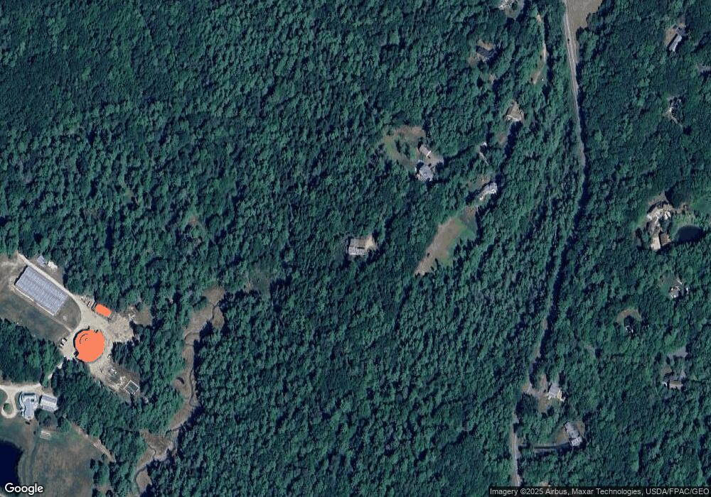
Map
Nearby Homes
- 2 Tidal Brook Rd
- 34 Sisquisic Trail
- 177 Bluff Rd Unit 20
- 52 Blueberry Cove Rd Unit 52
- 20 Harvest Ridge Rd Unit 23
- 26 Harvest Ridge Rd Unit 24
- 0 Bayview St
- 9 Gables Dr Unit 9
- 6 Daybreak Ln Unit 18
- 27 Youngs Ln Unit 27
- 16 Rocky Hill Rd
- 62 Webster Rd
- 18 Portland St
- 15 Linwood Rd Unit 15
- 39 Hunter Rd
- 1 Railroad Square Unit Townhome C
- 1 Railroad Square Unit 103
- 1 Railroad Square Unit 205
- 1 Railroad Square Unit 305
- 1 Railroad Square Unit 403
Your Personal Tour Guide
Ask me questions while you tour the home.