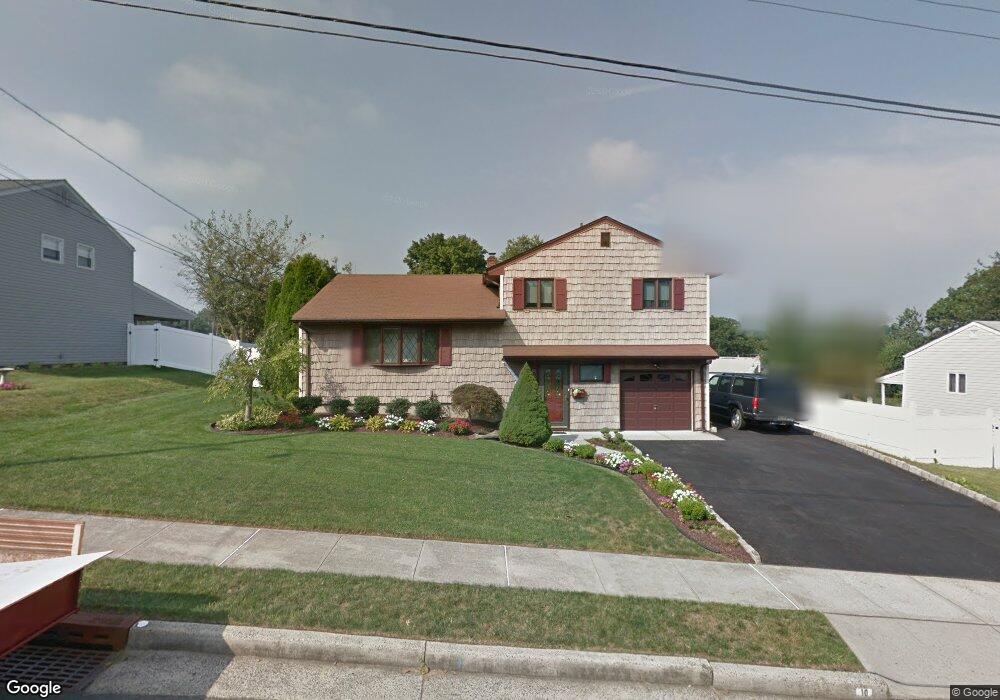
10 Ridge Rd South River, NJ 08882
Estimated Value: $541,000 - $579,000
Studio
--
Bath
1,552
Sq Ft
$361/Sq Ft
Est. Value
About This Home
This home is located at 10 Ridge Rd, South River, NJ 08882 and is currently estimated at $560,460, approximately $361 per square foot. 10 Ridge Rd is a home located in Middlesex County with nearby schools including South River Primary School, South River Elementary School, and South River Middle School.
Ownership History
Date
Name
Owned For
Owner Type
Purchase Details
Closed on
Sep 23, 2015
Sold by
Desantis Patricia A
Bought by
Desantis Matthew D and Desantis Jillian
Current Estimated Value
Home Financials for this Owner
Home Financials are based on the most recent Mortgage that was taken out on this home.
Original Mortgage
$264,000
Outstanding Balance
$102,009
Interest Rate
3.12%
Mortgage Type
New Conventional
Estimated Equity
$458,451
Create a Home Valuation Report for This Property
The Home Valuation Report is an in-depth analysis detailing your home's value as well as a comparison with similar homes in the area
Home Values in the Area
Average Home Value in this Area
Purchase History
| Date | Buyer | Sale Price | Title Company |
|---|---|---|---|
| Desantis Matthew D | $330,000 | Max Title Agency Llc |
Source: Public Records
Mortgage History
| Date | Status | Borrower | Loan Amount |
|---|---|---|---|
| Open | Desantis Matthew D | $264,000 |
Source: Public Records
Tax History
| Year | Tax Paid | Tax Assessment Tax Assessment Total Assessment is a certain percentage of the fair market value that is determined by local assessors to be the total taxable value of land and additions on the property. | Land | Improvement |
|---|---|---|---|---|
| 2025 | $9,049 | $355,300 | $166,700 | $188,600 |
| 2024 | $8,779 | $355,300 | $166,700 | $188,600 |
| 2023 | $8,779 | $355,300 | $166,700 | $188,600 |
| 2022 | $8,627 | $355,300 | $166,700 | $188,600 |
| 2021 | $8,303 | $355,300 | $166,700 | $188,600 |
| 2020 | $8,126 | $355,300 | $166,700 | $188,600 |
| 2019 | $8,336 | $101,200 | $31,200 | $70,000 |
| 2018 | $8,135 | $101,200 | $31,200 | $70,000 |
| 2017 | $7,838 | $101,200 | $31,200 | $70,000 |
Source: Public Records
Map
Nearby Homes
- 102 Prentice Ave Unit A
- 33 Constitution Way
- 17 Robert St
- 50 Southside Ave
- 125 Johnson Place
- 43 Whitehead Ave
- 29 Terry Ave
- 38 Armstrong Ave
- 0-0 Appleby Ave
- 79 Whitehead Ave
- 29 Levinson Ave
- 63 New St
- 9 Independence Place
- 19 Frandsen Ave
- 35 Willett Ave
- 2 Marie St
- 21 Buck Rd
- 16 Draeger Place
- 3 Lyons St
- 86 Hillside Ave