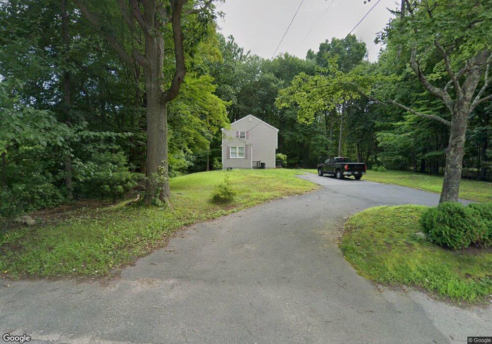
10 River Rd Andover, MA 01810
Far West Andover NeighborhoodEstimated Value: $628,000 - $781,000
3
Beds
2
Baths
1,492
Sq Ft
$480/Sq Ft
Est. Value
About This Home
This home is located at 10 River Rd, Andover, MA 01810 and is currently estimated at $715,972, approximately $479 per square foot. 10 River Rd is a home located in Essex County with nearby schools including High Plain Elementary School, Wood Hill Middle School, and Andover High School.
Ownership History
Date
Name
Owned For
Owner Type
Purchase Details
Closed on
Dec 21, 2010
Sold by
Est Wilson Karen and Mcisaac Leo
Bought by
Jaffri Ali and Jaffri Saima
Current Estimated Value
Home Financials for this Owner
Home Financials are based on the most recent Mortgage that was taken out on this home.
Original Mortgage
$180,000
Outstanding Balance
$116,175
Interest Rate
4.23%
Mortgage Type
Purchase Money Mortgage
Estimated Equity
$599,797
Create a Home Valuation Report for This Property
The Home Valuation Report is an in-depth analysis detailing your home's value as well as a comparison with similar homes in the area
Home Values in the Area
Average Home Value in this Area
Purchase History
| Date | Buyer | Sale Price | Title Company |
|---|---|---|---|
| Jaffri Ali | $280,000 | -- |
Source: Public Records
Mortgage History
| Date | Status | Borrower | Loan Amount |
|---|---|---|---|
| Open | Jaffri Ali | $180,000 |
Source: Public Records
Tax History
| Year | Tax Paid | Tax Assessment Tax Assessment Total Assessment is a certain percentage of the fair market value that is determined by local assessors to be the total taxable value of land and additions on the property. | Land | Improvement |
|---|---|---|---|---|
| 2025 | $7,606 | $609,000 | $332,200 | $276,800 |
| 2024 | $7,407 | $575,100 | $309,300 | $265,800 |
| 2023 | $7,207 | $527,600 | $286,500 | $241,100 |
| 2022 | $6,701 | $459,000 | $243,100 | $215,900 |
| 2021 | $6,434 | $420,800 | $221,200 | $199,600 |
| 2020 | $6,192 | $412,500 | $215,800 | $196,700 |
| 2019 | $6,129 | $401,400 | $207,500 | $193,900 |
| 2018 | $5,867 | $375,100 | $195,900 | $179,200 |
| 2017 | $5,635 | $371,200 | $192,200 | $179,000 |
| 2016 | $5,525 | $372,800 | $192,200 | $180,600 |
| 2015 | $5,328 | $355,900 | $184,700 | $171,200 |
Source: Public Records
Map
Nearby Homes
- 2 Boardwalk Dr
- 7 Westwood Terrace
- 2 Weeping Willow Dr
- 9 Packard St
- 110-112 Everett St
- 136 Chandler Rd
- 100 Hancock St
- 945 Riverside Dr Unit 5B
- 2 Dove Ln Unit 2
- 11 Swan Ln Unit 11
- 6 Danforth St
- 22 Elm St
- 22-26 Chandler St
- 82 Water St
- 28-32 Chester St
- 11 Crescent St
- 15 Crescent St Unit D
- 132-134 S Broadway
- 16 Highgate St
- 82 S Broadway
Your Personal Tour Guide
Ask me questions while you tour the home.