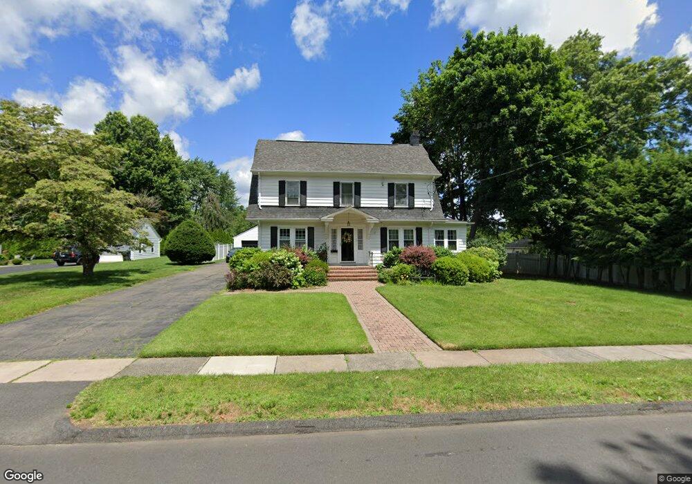
10 Robbins Dr Wethersfield, CT 06109
Estimated Value: $444,000 - $517,000
4
Beds
2
Baths
1,768
Sq Ft
$264/Sq Ft
Est. Value
About This Home
This home is located at 10 Robbins Dr, Wethersfield, CT 06109 and is currently estimated at $466,046, approximately $263 per square foot. 10 Robbins Dr is a home located in Hartford County with nearby schools including Charles Wright School, Silas Deane Middle School, and Wethersfield High School.
Ownership History
Date
Name
Owned For
Owner Type
Purchase Details
Closed on
Jun 3, 1991
Sold by
Helm Knute and Helm Marjorie
Bought by
Farrell John and Farell Sally
Current Estimated Value
Create a Home Valuation Report for This Property
The Home Valuation Report is an in-depth analysis detailing your home's value as well as a comparison with similar homes in the area
Home Values in the Area
Average Home Value in this Area
Purchase History
| Date | Buyer | Sale Price | Title Company |
|---|---|---|---|
| Farrell John | $182,000 | -- |
Source: Public Records
Mortgage History
| Date | Status | Borrower | Loan Amount |
|---|---|---|---|
| Open | Farrell John | $276,250 | |
| Closed | Farrell John | $240,000 | |
| Closed | Farrell John | $40,000 | |
| Closed | Farrell John | $207,300 |
Source: Public Records
Tax History
| Year | Tax Paid | Tax Assessment Tax Assessment Total Assessment is a certain percentage of the fair market value that is determined by local assessors to be the total taxable value of land and additions on the property. | Land | Improvement |
|---|---|---|---|---|
| 2025 | $10,745 | $260,680 | $97,550 | $163,130 |
| 2024 | $7,696 | $178,060 | $65,760 | $112,300 |
| 2023 | $7,439 | $178,060 | $65,760 | $112,300 |
| 2022 | $7,315 | $178,060 | $65,760 | $112,300 |
| 2021 | $7,242 | $178,060 | $65,760 | $112,300 |
| 2020 | $7,245 | $178,060 | $65,760 | $112,300 |
| 2019 | $7,254 | $178,060 | $65,760 | $112,300 |
| 2018 | $7,455 | $182,800 | $66,400 | $116,400 |
| 2017 | $7,270 | $182,800 | $66,400 | $116,400 |
| 2016 | $7,045 | $182,800 | $66,400 | $116,400 |
| 2015 | $6,981 | $182,800 | $66,400 | $116,400 |
| 2014 | $6,716 | $182,800 | $66,400 | $116,400 |
Source: Public Records
Map
Nearby Homes
- 18 Avalon Place
- 219 Jordan Ln Unit 221
- 87 Somerset St
- 91 Somerset St
- 97 Brussels Ave
- 116 Wells Farm Dr
- 35 Stillwold Dr
- 90 Goodwin Park Rd
- 19 Albert Ave
- 70 Stillman Rd
- 108 Chamberlain Rd
- 704 Franklin Ave
- 493 Main St
- 119 Coleman Rd
- 168 Hubbard Rd
- 28 Bolton St
- 137 Dale Rd
- 72 Concord Cir
- 20 Forest Dr
- 60 Hubbard Rd
- 20 Robbins Dr
- 233 Wolcott Hill Rd
- 227 Wolcott Hill Rd
- 11 Robbins Dr
- 237 Wolcott Hill Rd
- 19 Robbins Dr
- 28 Robbins Dr
- 221 Wolcott Hill Rd
- 241 Wolcott Hill Rd
- 27 Robbins Dr
- 32 Robbins Dr
- 275 Nott St
- 31 Robbins Dr
- 36 Robbins Dr
- 271 Nott St
- 12 Fairview Dr
- 8 Fairview Dr
- 209 Wolcott Hill Rd
- 20 Fairview Dr
- 236 Wolcott Hill Rd
Your Personal Tour Guide
Ask me questions while you tour the home.