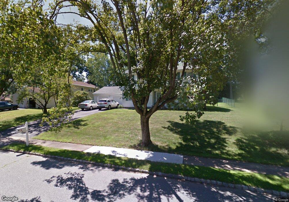
10 Robert St Parsippany, NJ 07054
Estimated Value: $801,929 - $928,000
--
Bed
--
Bath
2,592
Sq Ft
$331/Sq Ft
Est. Value
About This Home
This home is located at 10 Robert St, Parsippany, NJ 07054 and is currently estimated at $858,232, approximately $331 per square foot. 10 Robert St is a home located in Morris County with nearby schools including Northvail Elementary School, Central Middle School, and Parsippany High School.
Ownership History
Date
Name
Owned For
Owner Type
Purchase Details
Closed on
Aug 21, 2000
Sold by
Cheng Waiding W and Cheng Lucy Y
Bought by
Wang Daniel C and Wang Meilun
Current Estimated Value
Home Financials for this Owner
Home Financials are based on the most recent Mortgage that was taken out on this home.
Original Mortgage
$230,000
Outstanding Balance
$83,042
Interest Rate
8.16%
Mortgage Type
Stand Alone First
Estimated Equity
$775,190
Create a Home Valuation Report for This Property
The Home Valuation Report is an in-depth analysis detailing your home's value as well as a comparison with similar homes in the area
Home Values in the Area
Average Home Value in this Area
Purchase History
| Date | Buyer | Sale Price | Title Company |
|---|---|---|---|
| Wang Daniel C | $342,500 | -- |
Source: Public Records
Mortgage History
| Date | Status | Borrower | Loan Amount |
|---|---|---|---|
| Open | Wang Daniel C | $230,000 |
Source: Public Records
Tax History Compared to Growth
Tax History
| Year | Tax Paid | Tax Assessment Tax Assessment Total Assessment is a certain percentage of the fair market value that is determined by local assessors to be the total taxable value of land and additions on the property. | Land | Improvement |
|---|---|---|---|---|
| 2025 | $15,398 | $436,700 | $218,900 | $217,800 |
| 2024 | $15,110 | $436,700 | $218,900 | $217,800 |
| 2023 | $15,110 | $436,700 | $218,900 | $217,800 |
| 2022 | $14,097 | $436,700 | $218,900 | $217,800 |
| 2021 | $14,097 | $436,700 | $218,900 | $217,800 |
| 2020 | $13,795 | $436,700 | $218,900 | $217,800 |
| 2019 | $13,411 | $436,700 | $218,900 | $217,800 |
| 2018 | $13,114 | $436,700 | $218,900 | $217,800 |
| 2017 | $12,804 | $436,700 | $218,900 | $217,800 |
| 2016 | $12,573 | $436,700 | $218,900 | $217,800 |
| 2015 | $12,254 | $436,700 | $218,900 | $217,800 |
| 2014 | $12,083 | $436,700 | $218,900 | $217,800 |
Source: Public Records
Map
Nearby Homes
- 159 Ball Ave
- 209 Raymound Blvd
- 123 Cardigan Ct Unit 123
- 20 Sandra Dr
- 89 Schindler Ct
- 24 Leah Way
- 72 Schindler Ct
- 3 Woodhaven Rd
- 74 Preston Rd
- 144 Jillian Blvd
- 79 Rhyan Dr
- 91 Rhyan Dr
- 18 Woodhaven Rd
- 20 Druid Hill Dr
- 188 Edwards Rd
- 53 Westminster Dr
- 2 Colony Ct
- 255 Knoll Rd
- 12 Celtic Way
- 21 Nokomis Ave