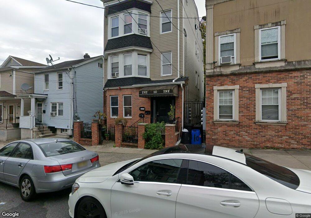
10 Robert St Paterson, NJ 07503
South Paterson NeighborhoodEstimated Value: $621,830 - $716,000
9
Beds
5
Baths
3,264
Sq Ft
$205/Sq Ft
Est. Value
About This Home
This home is located at 10 Robert St, Paterson, NJ 07503 and is currently estimated at $670,458, approximately $205 per square foot. 10 Robert St is a home located in Passaic County with nearby schools including Dale Avenue Elementary School, Edward W. Kilpatrick School of Discovery, and Paterson Public School No. 3.
Ownership History
Date
Name
Owned For
Owner Type
Purchase Details
Closed on
Apr 24, 2009
Sold by
Federal National Mortgage Association
Bought by
Totino Traci
Current Estimated Value
Purchase Details
Closed on
Apr 7, 2008
Sold by
Jerry Speziale Passaic Cnty Sheriff
Bought by
Federal National Mortgage Association
Purchase Details
Closed on
Oct 25, 2006
Sold by
Pina Ana N
Bought by
Acosta Pura
Home Financials for this Owner
Home Financials are based on the most recent Mortgage that was taken out on this home.
Original Mortgage
$400,000
Interest Rate
7.5%
Mortgage Type
Adjustable Rate Mortgage/ARM
Purchase Details
Closed on
Jul 18, 2003
Sold by
Rojas Aristides
Bought by
Pina Ana
Home Financials for this Owner
Home Financials are based on the most recent Mortgage that was taken out on this home.
Original Mortgage
$165,750
Interest Rate
5.69%
Create a Home Valuation Report for This Property
The Home Valuation Report is an in-depth analysis detailing your home's value as well as a comparison with similar homes in the area
Home Values in the Area
Average Home Value in this Area
Purchase History
| Date | Buyer | Sale Price | Title Company |
|---|---|---|---|
| Totino Traci | $139,900 | -- | |
| Federal National Mortgage Association | $422,231 | -- | |
| Acosta Pura | $500,000 | -- | |
| Pina Ana | $195,000 | -- |
Source: Public Records
Mortgage History
| Date | Status | Borrower | Loan Amount |
|---|---|---|---|
| Previous Owner | Acosta Pura | $400,000 | |
| Previous Owner | Pina Ana | $165,750 |
Source: Public Records
Tax History
| Year | Tax Paid | Tax Assessment Tax Assessment Total Assessment is a certain percentage of the fair market value that is determined by local assessors to be the total taxable value of land and additions on the property. | Land | Improvement |
|---|---|---|---|---|
| 2025 | $15,942 | $312,900 | $39,400 | $273,500 |
| 2024 | $15,341 | $312,900 | $39,400 | $273,500 |
Source: Public Records
Map
Nearby Homes
- 7 Montclair Ave
- 39 Thomas St
- 27 Robert St Unit 29
- 339 Paxton St
- 92 Bloomfield Ave
- 45 Dey St
- 11 Adams St
- 35-37 Montclair Ave
- 15 Inwood St
- 19 Inwood St
- 65 Levine St
- 180 Atlantic St
- 41 Columbia Ave
- 439 Marshall St
- 209 Michigan Ave Unit 211
- 229-235 Marshall St
- 156 Kentucky Ave Unit 158
- 110 Gourley Ave
- 97 Gourley Ave
- 30 Mary St