10 Roberts Cir Basking Ridge, NJ 07920
Estimated Value: $630,000 - $955,120
Studio
--
Bath
1,892
Sq Ft
$425/Sq Ft
Est. Value
About This Home
This home is located at 10 Roberts Cir, Basking Ridge, NJ 07920 and is currently estimated at $803,530, approximately $424 per square foot. 10 Roberts Cir is a home located in Somerset County with nearby schools including Oak Street Elementary School, William Annin Middle School, and Ridge High School.
Ownership History
Date
Name
Owned For
Owner Type
Purchase Details
Closed on
May 3, 2002
Sold by
Antonopoulos Nikolas
Bought by
Frank Sama and Sama Jennie
Current Estimated Value
Purchase Details
Closed on
Jan 31, 2000
Sold by
Waldron Karen
Bought by
Antonopoulos Nikolas
Home Financials for this Owner
Home Financials are based on the most recent Mortgage that was taken out on this home.
Original Mortgage
$234,500
Interest Rate
7.91%
Purchase Details
Closed on
Oct 23, 1997
Sold by
Baumel Clarite
Bought by
Walrow William and Walron Karen
Home Financials for this Owner
Home Financials are based on the most recent Mortgage that was taken out on this home.
Original Mortgage
$207,000
Interest Rate
7.23%
Create a Home Valuation Report for This Property
The Home Valuation Report is an in-depth analysis detailing your home's value as well as a comparison with similar homes in the area
Home Values in the Area
Average Home Value in this Area
Purchase History
| Date | Buyer | Sale Price | Title Company |
|---|---|---|---|
| Frank Sama | $435,000 | -- | |
| Antonopoulos Nikolas | $335,000 | -- | |
| Walrow William | $295,000 | -- |
Source: Public Records
Mortgage History
| Date | Status | Borrower | Loan Amount |
|---|---|---|---|
| Previous Owner | Antonopoulos Nikolas | $234,500 | |
| Previous Owner | Walrow William | $207,000 |
Source: Public Records
Tax History Compared to Growth
Tax History
| Year | Tax Paid | Tax Assessment Tax Assessment Total Assessment is a certain percentage of the fair market value that is determined by local assessors to be the total taxable value of land and additions on the property. | Land | Improvement |
|---|---|---|---|---|
| 2025 | $10,094 | $628,100 | $190,000 | $438,100 |
| 2024 | $10,094 | $567,400 | $180,500 | $386,900 |
Source: Public Records
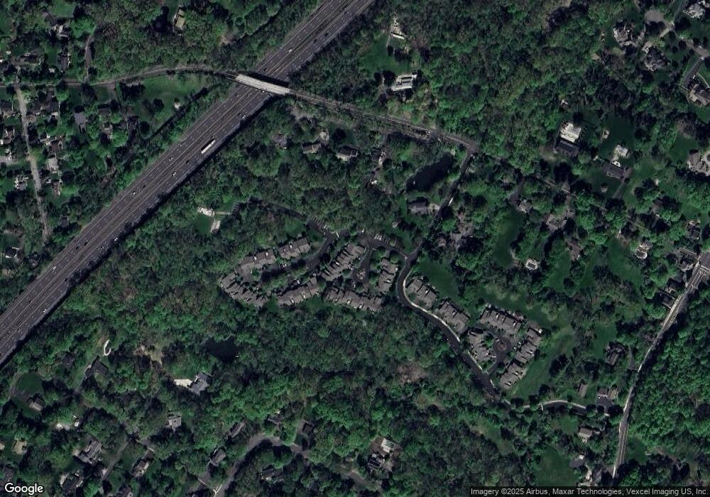
Map
Nearby Homes
- 151 Madisonville Rd
- 10 Tysley St
- 45 Butternut Ln
- 117 W Oak St
- 41 Anderson Hill Rd
- 26 Anderson Hill Rd
- 16 Dayton Crescent
- 34 Spruce Place
- 58 Brook Dr S
- 173 W Oak St
- 80 Claremont Rd Unit 802
- 80 Claremont Rd Unit 206
- 22 Orchard Hill Rd
- 38 Sheepfield Farms Rd
- 3 Spring House Rd
- 53 Post House Rd
- 106 Colonial Dr
- 40 Jockey Hollow Rd
- 331-1 Mendham Rd
- 160 Jockey Hollow Rd
- 3 Carswell Ct
- 5 Carswell Ct
- 7 Carswell Ct
- 9 Carswell Ct
- 11 Carswell Ct
- 2 Roberts Cir
- 4 Carswell Ct Unit 2
- 16 Carswell Ct
- 13 Carswell Ct
- 6 Carswell Ct
- 8 Carswell Ct
- 15 Carswell Ct
- 22 Roberts Cir
- 15 Roberts Cir
- 14 Carswell Ct Unit 3
- 12 Carswell Ct Unit 2
- 21 Roberts Cir
- 24 Roberts Cir
- 27 Maple Run
- 23 Roberts Cir