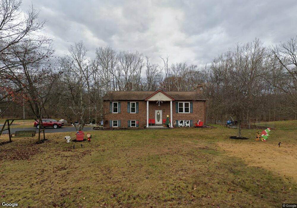
10 Robin Cir Unit 22 Gettysburg, PA 17325
Estimated Value: $324,000 - $374,000
3
Beds
2
Baths
1,372
Sq Ft
$248/Sq Ft
Est. Value
About This Home
This home is located at 10 Robin Cir Unit 22, Gettysburg, PA 17325 and is currently estimated at $340,877, approximately $248 per square foot. 10 Robin Cir Unit 22 is a home located in Adams County with nearby schools including Gettysburg Area High School, HOFFMAN ACADEMY, and Hoffman Homes.
Ownership History
Date
Name
Owned For
Owner Type
Purchase Details
Closed on
Oct 28, 2020
Sold by
Myers Denise A and Price Frank R
Bought by
Myers Denise A and Price Frank K
Current Estimated Value
Purchase Details
Closed on
Sep 10, 2007
Sold by
Myers Toy A and Myers Denise A
Bought by
Myers Denise A
Create a Home Valuation Report for This Property
The Home Valuation Report is an in-depth analysis detailing your home's value as well as a comparison with similar homes in the area
Home Values in the Area
Average Home Value in this Area
Purchase History
| Date | Buyer | Sale Price | Title Company |
|---|---|---|---|
| Myers Denise A | -- | None Available | |
| Myers Denise A | -- | -- |
Source: Public Records
Tax History Compared to Growth
Tax History
| Year | Tax Paid | Tax Assessment Tax Assessment Total Assessment is a certain percentage of the fair market value that is determined by local assessors to be the total taxable value of land and additions on the property. | Land | Improvement |
|---|---|---|---|---|
| 2025 | $3,736 | $226,300 | $52,200 | $174,100 |
| 2024 | $3,553 | $226,300 | $52,200 | $174,100 |
| 2023 | $3,553 | $226,300 | $52,200 | $174,100 |
| 2022 | $3,518 | $226,300 | $52,200 | $174,100 |
| 2021 | $3,476 | $226,300 | $52,200 | $174,100 |
| 2020 | $3,764 | $226,300 | $52,200 | $174,100 |
| 2019 | $3,683 | $226,300 | $52,200 | $174,100 |
| 2018 | $3,430 | $226,300 | $52,200 | $174,100 |
| 2017 | $3,309 | $226,300 | $52,200 | $174,100 |
| 2016 | -- | $226,300 | $52,200 | $174,100 |
| 2015 | -- | $226,300 | $52,200 | $174,100 |
| 2014 | -- | $226,300 | $52,200 | $174,100 |
Source: Public Records
Map
Nearby Homes
- 2746 Baltimore Pike
- 198 Longstreet Dr Unit 198
- 871 Sherman Dr Unit 871
- 151 Clapsaddle Rd
- 279 Longstreet Dr Unit 279
- 90 Knight Rd Unit 55
- 549 Grant Dr Unit 549
- 1365 Hanover Rd Unit 15
- 1685 LOT #3 Baltimore Pike
- 105 Round Top Ln Unit 8
- 804 Highland Ave
- 25 Harvest Dr
- 504 Baltimore St
- 460 Baltimore St
- 3801 Baltimore Pike
- 48 Cannon Ln Unit 105
- 437 Ridge Rd
- 975 Hoffman Home Rd Unit 6
- 1 Crosby Ct
- 680 Barlow Greenmount Rd
- 20 Robin Cir Unit 37
- 75 White Run Ln Unit 21
- 96 White Run Ln Unit 15
- 82 White Run Ln Unit 14
- 30 Robin Cir Unit 36
- 25 Robin Cir Unit 29
- 76 White Run Ln Unit 13
- 65 White Run Ln Unit 20
- 40 Robin Cir Unit 35
- 66 White Run Ln Unit 12
- 50 Robin Cir Unit 34
- 41 Robin Cir Unit 30
- 53 White Run Ln Unit 19
- 56 White Run Ln Unit 11
- 60 Robin Cir Unit 33
- 55 Robin Cir Unit 31
- 45 White Run Ln Unit 18
- 42 White Run Ln Unit 10
- 56 Robin Cir Unit 32
- 26 Vicki Cir Unit 26