10 Rock Spring Ln Darien, CT 06820
Estimated Value: $2,620,000 - $3,048,000
3
Beds
4
Baths
3,624
Sq Ft
$779/Sq Ft
Est. Value
About This Home
This home is located at 10 Rock Spring Ln, Darien, CT 06820 and is currently estimated at $2,824,628, approximately $779 per square foot. 10 Rock Spring Ln is a home located in Fairfield County with nearby schools including Royle Elementary School, Middlesex Middle School, and Darien High School.
Ownership History
Date
Name
Owned For
Owner Type
Purchase Details
Closed on
Sep 20, 2023
Sold by
Baldwin Barry R and Baldwin Vicki L
Bought by
Barry R Baldwin T R and Barry Baldwin
Current Estimated Value
Create a Home Valuation Report for This Property
The Home Valuation Report is an in-depth analysis detailing your home's value as well as a comparison with similar homes in the area
Home Values in the Area
Average Home Value in this Area
Purchase History
| Date | Buyer | Sale Price | Title Company |
|---|---|---|---|
| Barry R Baldwin T R | -- | None Available | |
| Barry R Baldwin T R | -- | None Available |
Source: Public Records
Tax History
| Year | Tax Paid | Tax Assessment Tax Assessment Total Assessment is a certain percentage of the fair market value that is determined by local assessors to be the total taxable value of land and additions on the property. | Land | Improvement |
|---|---|---|---|---|
| 2025 | $21,232 | $1,371,580 | $826,420 | $545,160 |
| 2024 | $20,149 | $1,371,580 | $826,420 | $545,160 |
| 2023 | $18,383 | $1,043,910 | $590,310 | $453,600 |
| 2022 | $17,987 | $1,043,910 | $590,310 | $453,600 |
| 2021 | $17,579 | $1,043,910 | $590,310 | $453,600 |
| 2020 | $17,078 | $1,043,910 | $590,310 | $453,600 |
| 2019 | $17,193 | $1,043,910 | $590,310 | $453,600 |
| 2018 | $18,813 | $1,169,980 | $699,510 | $470,470 |
| 2017 | $18,907 | $1,169,980 | $699,510 | $470,470 |
| 2016 | $18,451 | $1,169,980 | $699,510 | $470,470 |
| 2015 | $17,959 | $1,169,980 | $699,510 | $470,470 |
| 2014 | $17,561 | $1,169,980 | $699,510 | $470,470 |
Source: Public Records
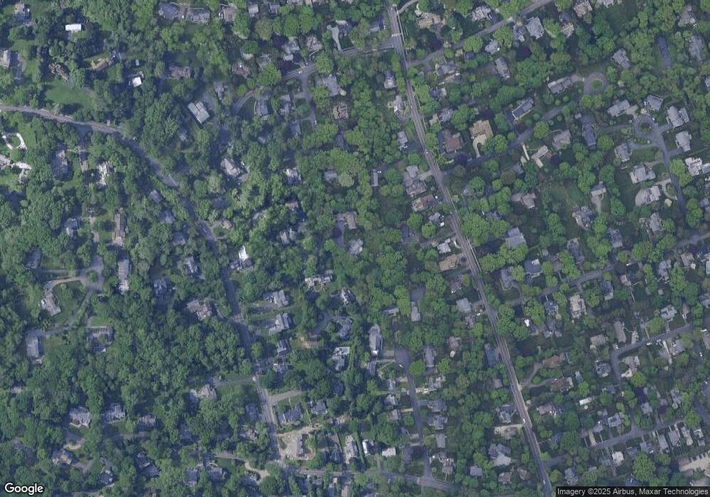
Map
Nearby Homes
- 10 Stony Brook Rd
- 17 Pine Brook Ln Unit 17
- 20 Locust Hill Rd
- 5 Shields Ln
- 223 Middlesex Rd
- 146 Ridge Acres Rd
- 561 Middlesex Rd
- 97 Richards Ave Unit B10
- 97 Richards Ave Unit E12
- 105 Richards Ave Unit 1407
- 14 5 Mile River Rd
- 166 Hollow Tree Ridge Rd
- 9 Arnold Ln
- 32 Relihan Rd
- 18 Tokeneke Trail
- 77 Maple St
- 76 Deepwood Rd
- 7 Tommys Ln
- 20 Marianne Rd
- 13 Patton Dr
- 8 Rock Spring Ln
- 12 Partridge Ln
- 89 Mansfield Ave
- 95 Mansfield Ave
- 87 Mansfield Ave
- 91 Mansfield Ave
- 85 Mansfield Ave
- 8 Mclaren Rd S
- 6 Rock Spring Ln
- 4 Rock Spring Ln
- 97 Mansfield Ave
- 97 Mansfield Ave
- 10 Partridge Ln
- 81 Mansfield Ave
- 6 Mclaren Rd S
- 6 McLaren Roadsouth Rd
- 10 Mclaren Rd S
- 20 Robin Hood Ln
- 77 Mansfield Ave
- Lot 130 Leroy Ave