10 Rockspring Ct Lake Harmony, PA 18624
Estimated Value: $470,000 - $789,000
4
Beds
3
Baths
2,700
Sq Ft
$229/Sq Ft
Est. Value
About This Home
This home is located at 10 Rockspring Ct, Lake Harmony, PA 18624 and is currently estimated at $618,317, approximately $229 per square foot. 10 Rockspring Ct is a home located in Carbon County with nearby schools including Jim Thorpe Area High School.
Ownership History
Date
Name
Owned For
Owner Type
Purchase Details
Closed on
Mar 12, 2018
Sold by
Mccormick Brian K and Mccormick Tara L
Bought by
Aashta Real Estate Imvestments Llc
Current Estimated Value
Home Financials for this Owner
Home Financials are based on the most recent Mortgage that was taken out on this home.
Original Mortgage
$196,000
Outstanding Balance
$167,956
Interest Rate
4.38%
Mortgage Type
Construction
Estimated Equity
$450,361
Purchase Details
Closed on
Mar 29, 2005
Sold by
Doherty David and Doherty Linda
Bought by
Mccormick Brian K and Mccormick Tara L
Home Financials for this Owner
Home Financials are based on the most recent Mortgage that was taken out on this home.
Original Mortgage
$246,000
Interest Rate
5.78%
Mortgage Type
Adjustable Rate Mortgage/ARM
Create a Home Valuation Report for This Property
The Home Valuation Report is an in-depth analysis detailing your home's value as well as a comparison with similar homes in the area
Home Values in the Area
Average Home Value in this Area
Purchase History
| Date | Buyer | Sale Price | Title Company |
|---|---|---|---|
| Aashta Real Estate Imvestments Llc | $175,000 | None Available | |
| Mccormick Brian K | $307,500 | None Available |
Source: Public Records
Mortgage History
| Date | Status | Borrower | Loan Amount |
|---|---|---|---|
| Open | Aashta Real Estate Imvestments Llc | $196,000 | |
| Previous Owner | Mccormick Brian K | $246,000 |
Source: Public Records
Tax History Compared to Growth
Tax History
| Year | Tax Paid | Tax Assessment Tax Assessment Total Assessment is a certain percentage of the fair market value that is determined by local assessors to be the total taxable value of land and additions on the property. | Land | Improvement |
|---|---|---|---|---|
| 2025 | $7,915 | $115,600 | $9,850 | $105,750 |
| 2024 | $8,241 | $115,600 | $9,850 | $105,750 |
| 2023 | $7,482 | $115,600 | $9,850 | $105,750 |
| 2022 | $7,482 | $115,600 | $9,850 | $105,750 |
| 2021 | $7,482 | $115,600 | $9,850 | $105,750 |
| 2020 | $7,482 | $115,600 | $9,850 | $105,750 |
| 2019 | $7,250 | $115,600 | $9,850 | $105,750 |
| 2018 | $7,250 | $115,600 | $9,850 | $105,750 |
| 2017 | $7,100 | $115,600 | $9,850 | $105,750 |
| 2016 | -- | $115,600 | $9,850 | $105,750 |
| 2015 | -- | $115,600 | $9,850 | $105,750 |
| 2014 | -- | $115,600 | $9,850 | $105,750 |
Source: Public Records
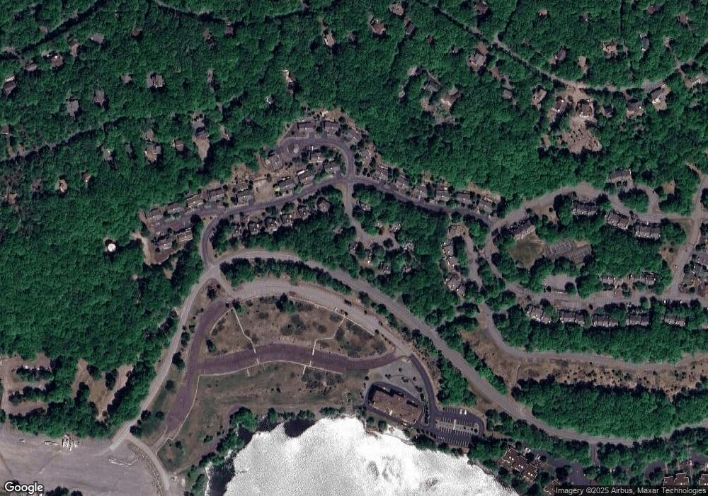
Map
Nearby Homes
- 149 Longview Dr
- 255 Longview Dr
- 426 Longview Dr
- 113 Longview Dr
- 77 Longview Dr
- 12 Beachwood Ct
- 33 Elevator
- 29 Wood St
- 20 Wood St
- 207 Wood St
- 320 Hummingbird Way Unit 302J1
- 320 Hummingbird Way
- 320 Hummingbird Way Unit 302
- 446 Mountainwoods Dr
- 445 Mountainwoods Dr
- 444 Mountainwoods Dr
- 443 Mountainwoods Dr
- 440 Mountainwoods Dr
- 438 Mountainwoods Dr
- 437 Mountainwoods Dr
- 21 Rockspring Ct
- 9 Rockspring Ct
- 5 Rockspring Ct
- 516 Rock Sping Ct @ Laurelwoods
- 134 Longview Dr
- 25 Rockspring Ct
- 0 Long View Dr Unit 5306425
- 0 Longview Dr Unit 5436784
- 421 Longview Dr
- 406 Longview Dr
- 427 Longview Dr
- 424 Longview Dr
- 410 Longview Dr
- 422 Longview Dr
- 400 Longview Dr
- 511 Rockspring Ct
- 515 Rockspring Ct
- 394 Laurelwood Dr
- 392 Laurelwood Dr
- 128 Longview Dr