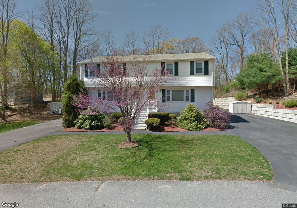
10 Rogers Ave Unit A Taunton, MA 02780
Estimated Value: $335,000 - $428,000
3
Beds
2
Baths
1,334
Sq Ft
$292/Sq Ft
Est. Value
About This Home
This home is located at 10 Rogers Ave Unit A, Taunton, MA 02780 and is currently estimated at $390,125, approximately $292 per square foot. 10 Rogers Ave Unit A is a home located in Bristol County with nearby schools including Edmund Hatch Bennett School, Taunton High School, and Joseph H. Martin.
Ownership History
Date
Name
Owned For
Owner Type
Purchase Details
Closed on
Mar 9, 2012
Sold by
Welch Kevin J and Welch Janice H
Bought by
Welch Ft and Welch Kevin J
Current Estimated Value
Purchase Details
Closed on
Jun 1, 1995
Sold by
Schmidt Paul R
Bought by
Welch Kevin J and Welch Janice H
Home Financials for this Owner
Home Financials are based on the most recent Mortgage that was taken out on this home.
Original Mortgage
$61,750
Interest Rate
8.2%
Mortgage Type
Purchase Money Mortgage
Create a Home Valuation Report for This Property
The Home Valuation Report is an in-depth analysis detailing your home's value as well as a comparison with similar homes in the area
Home Values in the Area
Average Home Value in this Area
Purchase History
| Date | Buyer | Sale Price | Title Company |
|---|---|---|---|
| Welch Ft | -- | -- | |
| Welch Kevin J | $65,000 | -- |
Source: Public Records
Mortgage History
| Date | Status | Borrower | Loan Amount |
|---|---|---|---|
| Previous Owner | Welch Kevin J | $61,750 |
Source: Public Records
Tax History Compared to Growth
Tax History
| Year | Tax Paid | Tax Assessment Tax Assessment Total Assessment is a certain percentage of the fair market value that is determined by local assessors to be the total taxable value of land and additions on the property. | Land | Improvement |
|---|---|---|---|---|
| 2025 | $3,639 | $332,600 | $0 | $332,600 |
| 2024 | $3,470 | $310,100 | $0 | $310,100 |
| 2023 | $3,354 | $278,300 | $0 | $278,300 |
| 2022 | $3,201 | $242,900 | $0 | $242,900 |
| 2021 | $2,806 | $197,600 | $0 | $197,600 |
| 2020 | $2,725 | $183,400 | $0 | $183,400 |
| 2019 | $3,106 | $197,100 | $0 | $197,100 |
| 2018 | $3,042 | $193,500 | $0 | $193,500 |
| 2017 | $2,781 | $177,000 | $0 | $177,000 |
| 2016 | $2,688 | $171,400 | $0 | $171,400 |
| 2015 | $2,540 | $169,200 | $0 | $169,200 |
| 2014 | $2,472 | $169,200 | $0 | $169,200 |
Source: Public Records
Map
Nearby Homes
- 58 Lawton St
- 4 A Lawton St Unit A
- 2 Clarendon St
- 1160 Somerset Ave
- 163 Baker Rd W
- 513 Berkley St
- 50 Highland St Unit 135
- 50 Highland St Unit 37
- 1438 Somerset Ave
- 450 Somerset Ave Unit 6-6
- 1472 Somerset Ave
- 65 Bridget Dr
- 244 Pratt St Unit A
- 36 Maynard Unit A
- 125 Highland St Unit 103
- 410 Warner Blvd Unit A
- 1 Faria Farm Rd
- 19 Burt St
- 12 Beacon St
- 11 Talbot Ave
- 10 Rogers Ave Unit B
- 8 Rogers Ave
- 6 Cornell Ave
- 6 Cornell Ave Unit B
- 8 Cornell Ave Unit B
- 8 Cornell Ave Unit A
- 8B Cornell Ave Unit 1
- 8B Cornell Ave
- 8B Cornell Ave Unit B
- 9 Greystone Ave
- 4 Cornell Ave
- 5 Greystone Ave
- 6 Rogers Ave
- 61 Greystone Ave
- 0 Cornell Ave
- 2 Cornell Ave
- 16 Cornell Ave
- 2 Rogers Ave
- 5 Rogers Ave
- 4 Greystone Ave Unit A