10 Rogers Rd Brewster, MA 02631
Estimated Value: $646,000 - $817,000
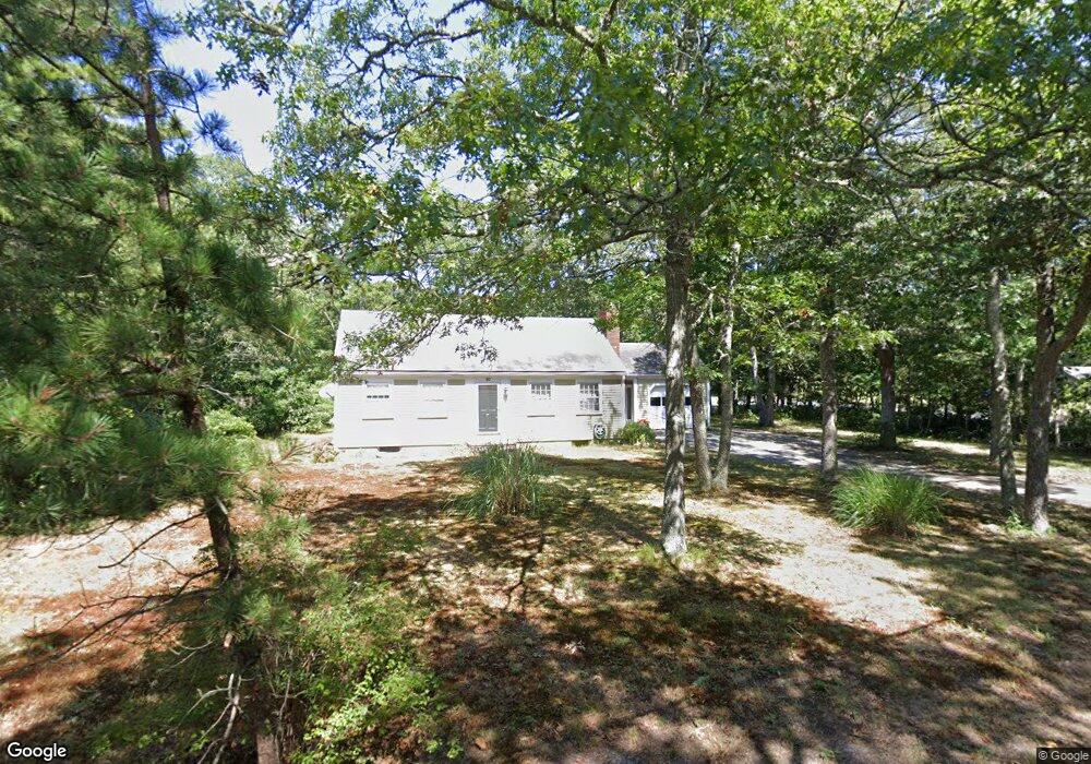
About This Home
This home is located at 10 Rogers Rd, Brewster, MA 02631 and is currently estimated at $714,465, approximately $476 per square foot. 10 Rogers Rd is a home located in Barnstable County with nearby schools including Stony Brook Elementary School, Eddy Elementary School, and Nauset Regional Middle School.
Ownership History
We collect this data history from publicly available records. To have your information removed, we recommend requesting removal directly through your county’s website.
Purchase Details
Home Financials for this Owner
Home Financials are based on the most recent Mortgage that was taken out on this home.Home Values in the Area
Average Home Value in this Area
Purchase History
We collect this data history from publicly available records. To have your information removed, we recommend requesting removal directly through your county’s website.
| Date | Buyer | Sale Price | Title Company |
|---|---|---|---|
| $375,000 | -- |
Mortgage History
We collect this data history from publicly available records. To have your information removed, we recommend requesting removal directly through your county’s website.
| Date | Status | Borrower | Loan Amount |
|---|---|---|---|
| Open | $175,000 |
Tax History
We collect this data history from publicly available records. To have your information removed, we recommend requesting removal directly through your county’s website.
| Year | Tax Paid | Tax Assessment Tax Assessment Total Assessment is a certain percentage of the fair market value that is determined by local assessors to be the total taxable value of land and additions on the property. | Land | Improvement |
|---|---|---|---|---|
| 2025 | $3,835 | $557,400 | $251,700 | $305,700 |
| 2024 | $3,584 | $526,300 | $237,500 | $288,800 |
| 2023 | $3,306 | $473,000 | $212,000 | $261,000 |
| 2022 | $3,102 | $395,100 | $176,600 | $218,500 |
| 2021 | $2,980 | $347,300 | $153,600 | $193,700 |
| 2020 | $2,916 | $338,300 | $153,600 | $184,700 |
| 2019 | $2,819 | $328,500 | $147,700 | $180,800 |
| 2018 | $2,657 | $321,700 | $147,700 | $174,000 |
| 2017 | $2,630 | $313,500 | $147,700 | $165,800 |
| 2016 | $2,531 | $300,200 | $144,800 | $155,400 |
| 2015 | $2,444 | $295,900 | $142,000 | $153,900 |
Map
- 8 Pine Grove Rd
- 527 S Orleans Rd
- 22 Winslow Dr
- 588 S Orleans Rd
- 42 Uncle Israel's Rd
- 14 Bambi Way
- 77 Towhee Ln
- 18 Sturbridge Dr
- 645 S Orleans Rd
- 332 S Orleans Rd
- 16 Carlton Rd
- 38 Shorewood Dr
- 32 Areys Ln
- 36 Areys Ln
- 7 Lockwood Ln
- 149 Monument Rd
- 67 Bakers Pond Rd
- 2079 Head of The Bay Rd
- 63 Kescayogansett Rd
- 49 Thousand Oaks Dr
- 679 S Orleans Rd
- 679 Harw Orleans
- 26 Rogers Rd
- 653 S Orleans Rd
- 23 Rogers Rd
- 77 Harwich Rd
- 2 Woodridge Rd
- 691 S Orleans Rd
- 73 Harwich Rd
- 1 Woodridge Rd
- 20 Wood Duck Rd
- 32 Captain Burgess Rd
- 6 Woodridge Rd
- 8 Ruddy Duck Rd
- 87 Harwich Rd
- 5 Woodridge Rd
- 7 Wood Duck Rd
- 9 Wood Duck Rd
- 49 Rogers Rd
- 66 Ruddy Duck Rd
Ask me questions while you tour the home.