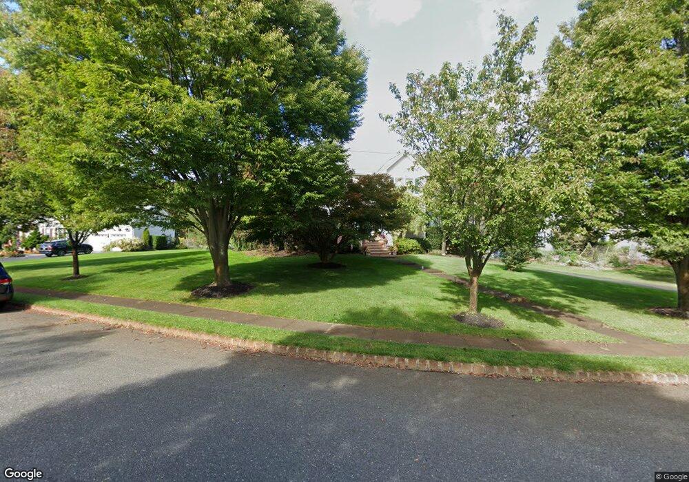
10 Roller Rd E Ocean, NJ 07712
Wanamassa NeighborhoodEstimated Value: $986,000 - $1,120,000
4
Beds
2
Baths
2,992
Sq Ft
$357/Sq Ft
Est. Value
About This Home
This home is located at 10 Roller Rd E, Ocean, NJ 07712 and is currently estimated at $1,067,849, approximately $356 per square foot. 10 Roller Rd E is a home located in Monmouth County with nearby schools including Ocean Township High School, St. Mary of the Assumption School, and Montessori Academy Of New Jersey.
Ownership History
Date
Name
Owned For
Owner Type
Purchase Details
Closed on
Apr 30, 1996
Sold by
Spatical Design Inc
Bought by
Rant Ii Walter and Rant Jean
Current Estimated Value
Home Financials for this Owner
Home Financials are based on the most recent Mortgage that was taken out on this home.
Original Mortgage
$140,000
Outstanding Balance
$7,846
Interest Rate
7.82%
Estimated Equity
$1,060,003
Create a Home Valuation Report for This Property
The Home Valuation Report is an in-depth analysis detailing your home's value as well as a comparison with similar homes in the area
Home Values in the Area
Average Home Value in this Area
Purchase History
| Date | Buyer | Sale Price | Title Company |
|---|---|---|---|
| Rant Ii Walter | $275,000 | -- |
Source: Public Records
Mortgage History
| Date | Status | Borrower | Loan Amount |
|---|---|---|---|
| Open | Rant Ii Walter | $140,000 |
Source: Public Records
Tax History
| Year | Tax Paid | Tax Assessment Tax Assessment Total Assessment is a certain percentage of the fair market value that is determined by local assessors to be the total taxable value of land and additions on the property. | Land | Improvement |
|---|---|---|---|---|
| 2025 | $13,445 | $1,032,600 | $492,100 | $540,500 |
| 2024 | $13,161 | $925,300 | $397,100 | $528,200 |
Source: Public Records
Map
Nearby Homes
- 1211 Lawrence Ave
- 14 Redwood Dr
- 155 Jefferson Dr
- 149 Jefferson Dr
- 3104 Sunset Ave
- 1124 Jeffrey Ave
- 1125 Interlaken Ave
- 10 Lambert Johnson Dr
- 62 Cold Indian Springs Rd
- 909 Brookside Ave
- 25 Surrey Ln
- 98 Old Orchard Ln Unit 2202
- 720 Talmadge Ave
- 111 Cold Indian Springs Rd
- 514 Deal Rd
- 48 Old Orchard Ln Unit 1103
- 709 Talmadge Ave
- 8 Arbor Way
- 2 Milwin Ct
- 4 Milwin Ct
- 8 Roller Rd E
- 12 Roller Rd E
- 11 Roller Rd E
- 9 Roller Rd E
- 6 Roller Rd E
- 11 Hillside Terrace
- 13 Hillside Terrace
- 14 Roller Rd E
- 13 Roller Rd E
- 15 Roller Rd E
- 9 Hillside Terrace
- 15 Hillside Terrace
- 7 Hillside Terrace
- 4 Roller Rd E
- 5 Roller Rd E
- 17 Hillside Terrace
- 5 Hillside Terrace
- 2 Timber Dr
- 1 Timber Dr
- 12 Hillside Terrace
Your Personal Tour Guide
Ask me questions while you tour the home.