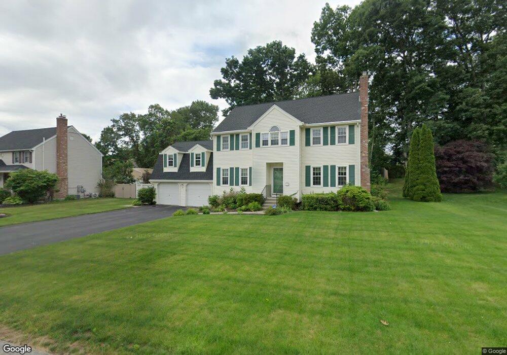
10 Rollie Shepard Dr Millbury, MA 01527
Estimated Value: $665,392 - $766,000
3
Beds
3
Baths
2,643
Sq Ft
$266/Sq Ft
Est. Value
About This Home
This home is located at 10 Rollie Shepard Dr, Millbury, MA 01527 and is currently estimated at $702,848, approximately $265 per square foot. 10 Rollie Shepard Dr is a home located in Worcester County with nearby schools including Elmwood Street Elementary School, Raymond E. Shaw Elementary School, and Millbury Junior/Senior High School.
Ownership History
Date
Name
Owned For
Owner Type
Purchase Details
Closed on
Oct 15, 1999
Sold by
Zanadu Inc
Bought by
Daly Joanne M and Daly Kevin J
Current Estimated Value
Home Financials for this Owner
Home Financials are based on the most recent Mortgage that was taken out on this home.
Original Mortgage
$192,185
Interest Rate
7.8%
Mortgage Type
Purchase Money Mortgage
Create a Home Valuation Report for This Property
The Home Valuation Report is an in-depth analysis detailing your home's value as well as a comparison with similar homes in the area
Home Values in the Area
Average Home Value in this Area
Purchase History
| Date | Buyer | Sale Price | Title Company |
|---|---|---|---|
| Daly Joanne M | $202,300 | -- | |
| Daly Joanne M | $202,300 | -- |
Source: Public Records
Mortgage History
| Date | Status | Borrower | Loan Amount |
|---|---|---|---|
| Closed | Daly Joanne M | $262,000 | |
| Closed | Daly Joanne M | $221,000 | |
| Closed | Daly Joanne M | $192,185 |
Source: Public Records
Tax History Compared to Growth
Tax History
| Year | Tax Paid | Tax Assessment Tax Assessment Total Assessment is a certain percentage of the fair market value that is determined by local assessors to be the total taxable value of land and additions on the property. | Land | Improvement |
|---|---|---|---|---|
| 2025 | $8,061 | $602,000 | $117,000 | $485,000 |
| 2024 | $7,393 | $558,800 | $108,300 | $450,500 |
| 2023 | $6,698 | $463,500 | $76,000 | $387,500 |
| 2022 | $5,955 | $397,000 | $76,000 | $321,000 |
| 2021 | $5,863 | $380,000 | $76,000 | $304,000 |
| 2020 | $5,740 | $374,400 | $76,000 | $298,400 |
| 2019 | $5,769 | $364,000 | $75,600 | $288,400 |
| 2018 | $5,714 | $349,700 | $75,600 | $274,100 |
| 2017 | $5,240 | $318,900 | $75,600 | $243,300 |
| 2016 | $5,326 | $323,600 | $75,600 | $248,000 |
| 2015 | $5,152 | $313,000 | $76,900 | $236,100 |
| 2014 | $4,802 | $280,800 | $80,400 | $200,400 |
Source: Public Records
Map
Nearby Homes
- 3 May St
- 90 Macarthur Dr
- 86 Wheelock Ave
- 2 Diane St
- 12 Irene Ct
- 11 Westview Ave
- 1 Pineland Ave
- 1 Broadmeadow Ave
- 12 Alstead Path
- 46 John Dr Unit 46
- 5 Edward Dr
- 21 Lordvale Blvd Unit 406
- 28 Lincoln Ln
- 5 Lincoln Ln Unit 5
- 330 Millbury Ave
- 11 Maplewood Rd
- 76 Samuel Dr
- 27 A-B Grafton St
- 123 Riverlin St
- 64 Millbury Ave
- 12 Rollie Shepard Dr
- 8 Rollie Shepard Dr
- 35 Macarthur Dr
- 41 Macarthur Dr
- 43 Macarthur Dr
- 14 Rollie Shepard Dr
- 31 Macarthur Dr
- 1 Montgomery Dr
- 11 Rollie Shepard Dr
- 9 Rollie Shepard Dr
- 3 Montgomery Dr
- 13 Rollie Shepard Dr
- 6 Rollie Shepard Dr
- 16 Rollie Shepard Dr
- 2 Bill Graham Ln
- 1 Bill Graham Ln
- 27 Macarthur Dr
- 34 Macarthur Dr
- 7 Rollie Shepard Dr
- 40 Macarthur Dr