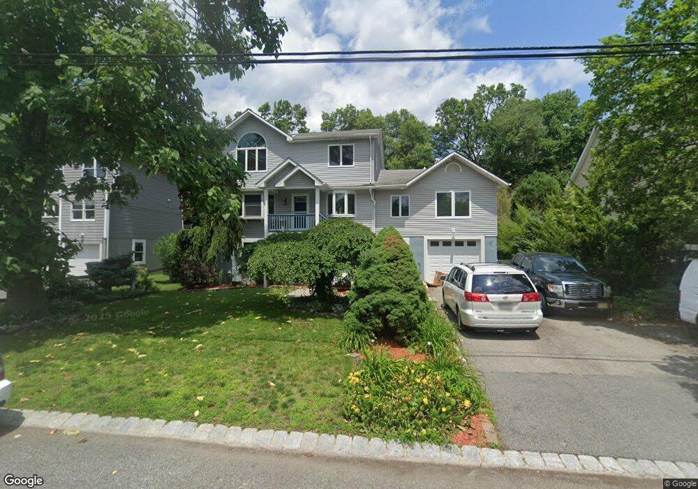
10 Romondt Rd Pompton Plains, NJ 07444
Estimated Value: $539,000 - $666,000
--
Bed
--
Bath
2,131
Sq Ft
$293/Sq Ft
Est. Value
About This Home
This home is located at 10 Romondt Rd, Pompton Plains, NJ 07444 and is currently estimated at $623,712, approximately $292 per square foot. 10 Romondt Rd is a home located in Morris County with nearby schools including Pequannock Twp High School, Netherlands Reformed Christian School, and Kolbe Immaculata School.
Ownership History
Date
Name
Owned For
Owner Type
Purchase Details
Closed on
Apr 12, 2019
Sold by
Small David and Small Joanne
Bought by
Small David and Small Joanne
Current Estimated Value
Purchase Details
Closed on
Dec 15, 1994
Sold by
Mccabe Shirley
Bought by
Sl Dave and Small Joanne
Home Financials for this Owner
Home Financials are based on the most recent Mortgage that was taken out on this home.
Original Mortgage
$111,000
Interest Rate
9.03%
Create a Home Valuation Report for This Property
The Home Valuation Report is an in-depth analysis detailing your home's value as well as a comparison with similar homes in the area
Home Values in the Area
Average Home Value in this Area
Purchase History
| Date | Buyer | Sale Price | Title Company |
|---|---|---|---|
| Small David | -- | Anthony Wayne Title Agcy Llc | |
| Sl Dave | $123,500 | -- |
Source: Public Records
Mortgage History
| Date | Status | Borrower | Loan Amount |
|---|---|---|---|
| Closed | Sl Dave | $111,000 |
Source: Public Records
Tax History Compared to Growth
Tax History
| Year | Tax Paid | Tax Assessment Tax Assessment Total Assessment is a certain percentage of the fair market value that is determined by local assessors to be the total taxable value of land and additions on the property. | Land | Improvement |
|---|---|---|---|---|
| 2025 | $9,895 | $552,600 | $233,100 | $319,500 |
| 2024 | $9,581 | $542,200 | $228,600 | $313,600 |
| 2023 | $9,581 | $521,300 | $219,600 | $301,700 |
| 2022 | $7,818 | $313,100 | $133,100 | $180,000 |
| 2021 | $6,008 | $313,100 | $133,100 | $180,000 |
| 2020 | $6,209 | $251,900 | $133,100 | $118,800 |
| 2019 | $6,008 | $251,900 | $133,100 | $118,800 |
| 2018 | $5,781 | $251,900 | $133,100 | $118,800 |
| 2017 | $5,595 | $251,900 | $133,100 | $118,800 |
| 2016 | $5,418 | $251,900 | $133,100 | $118,800 |
| 2015 | $5,393 | $251,900 | $133,100 | $118,800 |
| 2014 | $5,265 | $251,900 | $133,100 | $118,800 |
Source: Public Records
Map
Nearby Homes
- 26 Brookside Ave
- 26 Voorhis Place
- 520 Newark Pompton Turnpike Unit C316
- 111 Deerfield Rd
- 27 Wilrue Pkwy
- 31 Garfield Rd
- 44 Canton Rd
- 120 Greenwood Ave
- 78 Maple Ln
- 263 Boulevard
- 12 Kingston Rd
- 49 Hopper Ave
- 4 Jeffrey Rd
- 7 Shore Rd
- 15 Shore Rd
- 20 Knight Rd
- 6 van Saun Place
- 14 Evelyn Place
- 812 Black Oak Ridge Rd
- 48 Caroline Ave