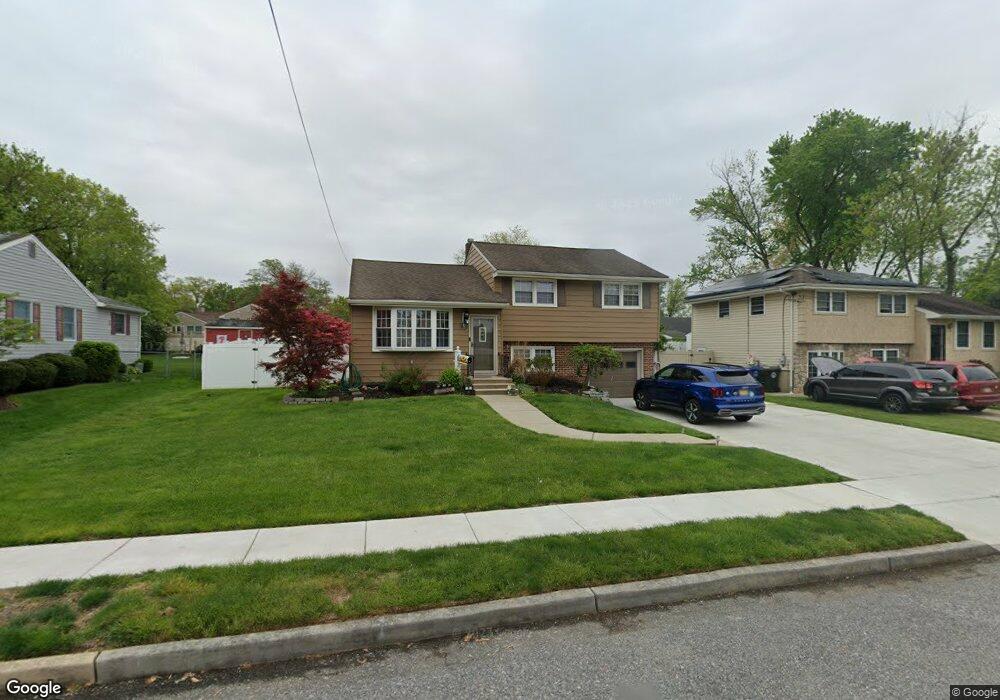
10 Rosetree Ln West Deptford, NJ 08096
West Deptford Township NeighborhoodEstimated Value: $357,000 - $407,000
4
Beds
2
Baths
1,389
Sq Ft
$274/Sq Ft
Est. Value
About This Home
This home is located at 10 Rosetree Ln, West Deptford, NJ 08096 and is currently estimated at $380,181, approximately $273 per square foot. 10 Rosetree Ln is a home located in Gloucester County with nearby schools including Green-Fields Elementary School, Oakview Elementary School, and Red Bank Elementary School.
Ownership History
Date
Name
Owned For
Owner Type
Purchase Details
Closed on
May 11, 2007
Sold by
Stigale Wendy L
Bought by
Stout William J
Current Estimated Value
Home Financials for this Owner
Home Financials are based on the most recent Mortgage that was taken out on this home.
Original Mortgage
$246,137
Outstanding Balance
$149,799
Interest Rate
6.18%
Mortgage Type
FHA
Estimated Equity
$230,382
Purchase Details
Closed on
Dec 28, 1998
Sold by
Donofrio Dominic A and Estate Of Rose M Page
Bought by
Stigale Wendy L
Home Financials for this Owner
Home Financials are based on the most recent Mortgage that was taken out on this home.
Original Mortgage
$73,500
Interest Rate
6.89%
Create a Home Valuation Report for This Property
The Home Valuation Report is an in-depth analysis detailing your home's value as well as a comparison with similar homes in the area
Home Values in the Area
Average Home Value in this Area
Purchase History
| Date | Buyer | Sale Price | Title Company |
|---|---|---|---|
| Stout William J | $250,000 | Presidential Title Agency In | |
| Stigale Wendy L | $92,000 | Congress Title Corp |
Source: Public Records
Mortgage History
| Date | Status | Borrower | Loan Amount |
|---|---|---|---|
| Open | Stout William J | $246,137 | |
| Previous Owner | Stigale Wendy L | $73,500 |
Source: Public Records
Tax History Compared to Growth
Tax History
| Year | Tax Paid | Tax Assessment Tax Assessment Total Assessment is a certain percentage of the fair market value that is determined by local assessors to be the total taxable value of land and additions on the property. | Land | Improvement |
|---|---|---|---|---|
| 2025 | $5,926 | $169,700 | $60,500 | $109,200 |
| 2024 | $5,850 | $169,700 | $60,500 | $109,200 |
| 2023 | $5,850 | $169,700 | $60,500 | $109,200 |
| 2022 | $5,822 | $169,700 | $60,500 | $109,200 |
| 2021 | $5,802 | $169,700 | $60,500 | $109,200 |
| 2020 | $5,788 | $169,700 | $60,500 | $109,200 |
| 2019 | $5,627 | $169,700 | $60,500 | $109,200 |
| 2018 | $5,475 | $169,700 | $60,500 | $109,200 |
| 2017 | $5,347 | $169,700 | $60,500 | $109,200 |
| 2016 | $5,198 | $169,700 | $60,500 | $109,200 |
| 2015 | $4,952 | $169,700 | $60,500 | $109,200 |
| 2014 | $4,706 | $169,700 | $60,500 | $109,200 |
Source: Public Records
Map
Nearby Homes
- 15 Ash Ave
- 10 Meadow Ln
- 8 Clark Dr
- 6 Cypress Cir
- 417 Auburn St
- 90 Ginger Dr
- 124 Linden Ave
- 136 Vanderbilt Ave
- 444 Temple Ave
- 629 Vassar Rd
- 14 Aviary Rd
- 807 Saint Regis Ct
- 0 Greenwood & Shivers Ave
- 94 Aviary Rd
- 827 Saint Regis Ct
- 418 Westminster Rd
- 751 Garrison Ct
- 411 Durham Ct Unit 411
- 213 Barclay Ct
- 463 Durham Ct