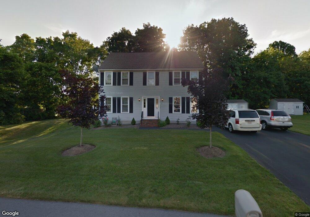
10 Rosettas Way Bridgewater, MA 02324
Estimated Value: $604,000 - $730,000
4
Beds
3
Baths
1,872
Sq Ft
$363/Sq Ft
Est. Value
About This Home
This home is located at 10 Rosettas Way, Bridgewater, MA 02324 and is currently estimated at $680,359, approximately $363 per square foot. 10 Rosettas Way is a home located in Plymouth County with nearby schools including Mitchell Elementary School, Williams Intermediate School, and Bridgewater Middle School.
Ownership History
Date
Name
Owned For
Owner Type
Purchase Details
Closed on
Jul 16, 1999
Sold by
Briarwood Constr Corp
Bought by
Sullivan Michael L and Sullivan Sharon A
Current Estimated Value
Home Financials for this Owner
Home Financials are based on the most recent Mortgage that was taken out on this home.
Original Mortgage
$175,900
Outstanding Balance
$48,610
Interest Rate
7.39%
Mortgage Type
Purchase Money Mortgage
Estimated Equity
$631,749
Create a Home Valuation Report for This Property
The Home Valuation Report is an in-depth analysis detailing your home's value as well as a comparison with similar homes in the area
Home Values in the Area
Average Home Value in this Area
Purchase History
| Date | Buyer | Sale Price | Title Company |
|---|---|---|---|
| Sullivan Michael L | $219,900 | -- |
Source: Public Records
Mortgage History
| Date | Status | Borrower | Loan Amount |
|---|---|---|---|
| Open | Sullivan Michael L | $175,900 |
Source: Public Records
Tax History Compared to Growth
Tax History
| Year | Tax Paid | Tax Assessment Tax Assessment Total Assessment is a certain percentage of the fair market value that is determined by local assessors to be the total taxable value of land and additions on the property. | Land | Improvement |
|---|---|---|---|---|
| 2025 | $6,656 | $562,600 | $211,800 | $350,800 |
| 2024 | $6,471 | $533,000 | $201,700 | $331,300 |
| 2023 | $6,453 | $502,600 | $188,500 | $314,100 |
| 2022 | $6,324 | $441,600 | $165,400 | $276,200 |
| 2021 | $5,930 | $409,500 | $147,600 | $261,900 |
| 2020 | $5,851 | $397,200 | $141,900 | $255,300 |
| 2019 | $5,760 | $388,400 | $141,900 | $246,500 |
| 2018 | $5,578 | $367,200 | $137,900 | $229,300 |
| 2017 | $5,389 | $345,200 | $137,900 | $207,300 |
| 2016 | $5,155 | $331,700 | $135,200 | $196,500 |
| 2015 | $5,184 | $319,200 | $131,200 | $188,000 |
| 2014 | $5,073 | $312,200 | $127,300 | $184,900 |
Source: Public Records
Map
Nearby Homes
- 36 Michael Rd
- 54 Michael Rd Unit 33
- 201 Comfort St
- 211 Oak St
- 63 Crapo St
- 86 Wall St
- Lot 1 Hammond St
- 12 Perkins St
- 128 Broad St
- 52 Cottage St
- 827 High St
- 48 Pearl St
- 464-466 Main St
- 40 Old Forge Rd Unit 40
- 167 Spring St
- 158 Rowayne Park
- 10 Duck Farm Ln
- 180 Main St Unit C55
- 180 Main St Unit 6-203
- 16 Cassidy Place Unit 16
- 20 Rosettas Way
- 436 High St
- 15 Rosettas Way
- 454 High St
- 428 High St
- 12 Home Town Terrace
- 4 Home Town Terrace Unit 2
- 4 Home Town Terrace Unit 1
- 8 Home Town Terrace
- 25 Rosettas Way
- 30 Rosettas Way
- 30 Rosetta's Way
- 22 Home Town Terrace Unit 22
- 22 Home Town Terrace
- 24 Home Town Terrace Unit 24
- 439 High St
- 433 High St
- 410 High St
- 2 Home Town Terrace Unit 2
- 2 Home Town Terrace Unit 1