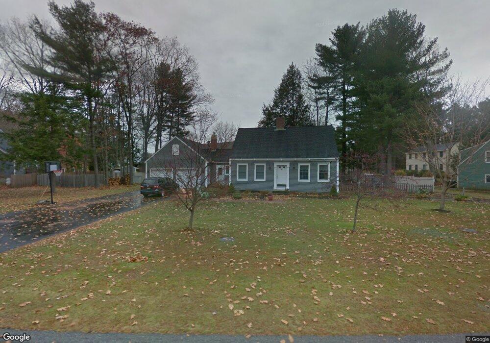
10 Ryefield Dr Scarborough, ME 04074
Estimated Value: $593,000 - $727,000
3
Beds
2
Baths
1,669
Sq Ft
$383/Sq Ft
Est. Value
About This Home
This home is located at 10 Ryefield Dr, Scarborough, ME 04074 and is currently estimated at $639,723, approximately $383 per square foot. 10 Ryefield Dr is a home located in Cumberland County with nearby schools including Scarborough High School and Cornerstone Baptist Academy.
Ownership History
Date
Name
Owned For
Owner Type
Purchase Details
Closed on
Nov 3, 2008
Sold by
Charrier Pamela A and Atwood Pamela A
Bought by
Tate David F and Tate Lauren E
Current Estimated Value
Home Financials for this Owner
Home Financials are based on the most recent Mortgage that was taken out on this home.
Original Mortgage
$224,000
Outstanding Balance
$145,210
Interest Rate
5.83%
Mortgage Type
Commercial
Estimated Equity
$494,513
Purchase Details
Closed on
Oct 4, 2005
Sold by
Orcutt Daniel R and Pringle Victoria A
Bought by
Gillian 2Nd Richard C and Gillian Kelly
Home Financials for this Owner
Home Financials are based on the most recent Mortgage that was taken out on this home.
Original Mortgage
$247,920
Interest Rate
5%
Mortgage Type
Commercial
Create a Home Valuation Report for This Property
The Home Valuation Report is an in-depth analysis detailing your home's value as well as a comparison with similar homes in the area
Home Values in the Area
Average Home Value in this Area
Purchase History
| Date | Buyer | Sale Price | Title Company |
|---|---|---|---|
| Tate David F | -- | -- | |
| Gillian 2Nd Richard C | -- | -- |
Source: Public Records
Mortgage History
| Date | Status | Borrower | Loan Amount |
|---|---|---|---|
| Open | Tate David F | $224,000 | |
| Previous Owner | Tate David F | $30,000 | |
| Previous Owner | Tate David F | $20,000 | |
| Previous Owner | Gillian 2Nd Richard C | $247,920 |
Source: Public Records
Tax History Compared to Growth
Tax History
| Year | Tax Paid | Tax Assessment Tax Assessment Total Assessment is a certain percentage of the fair market value that is determined by local assessors to be the total taxable value of land and additions on the property. | Land | Improvement |
|---|---|---|---|---|
| 2024 | $6,312 | $577,500 | $208,200 | $369,300 |
| 2023 | $6,032 | $377,700 | $139,600 | $238,100 |
| 2022 | $5,813 | $377,700 | $139,600 | $238,100 |
| 2021 | $5,298 | $377,700 | $139,600 | $238,100 |
| 2020 | $5,613 | $377,700 | $139,600 | $238,100 |
| 2019 | $5,552 | $377,700 | $139,600 | $238,100 |
| 2017 | $5,028 | $304,900 | $135,400 | $169,500 |
| 2016 | $4,854 | $304,900 | $135,400 | $169,500 |
| 2015 | $4,723 | $304,900 | $135,400 | $169,500 |
| 2014 | $4,604 | $304,900 | $135,400 | $169,500 |
| 2013 | -- | $304,900 | $135,400 | $169,500 |
Source: Public Records
Map
Nearby Homes
- 38 Church St
- 10 Foxwell Dr
- 31 Old Blue Point Rd
- 626 Us Route 1
- 1 Griffin Rd
- 36 Pine Point Rd
- Lot 5 Jean's Way
- 19 Paulsen Dr
- 9 Paulsen Dr
- 46 Payne Rd
- 81 Creeks Edge Dr
- 192 Stewart Dr
- 79 Creeks Edge Dr
- 4 Lodge Dr
- 149 Stewart Dr
- 153 Stewart Dr
- 77 Creeks Edge Dr
- 159 Stewart Dr
- 90 Broadturn Rd Unit 9
- 96C Broadturn Rd