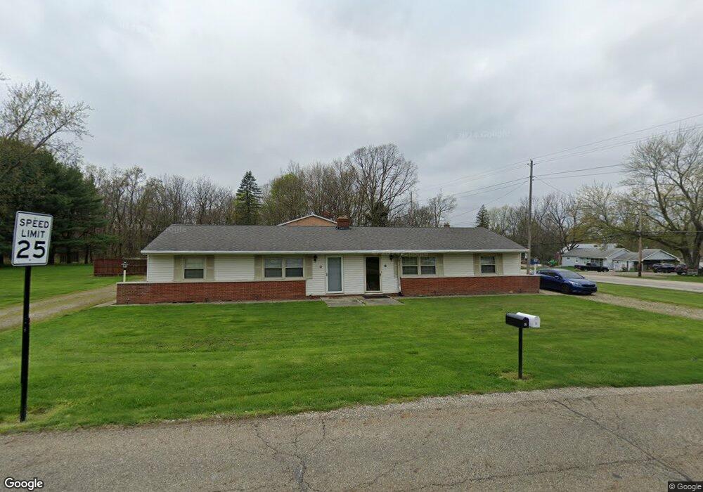
10 S Alling Rd Tallmadge, OH 44278
Estimated Value: $181,000 - $329,000
4
Beds
2
Baths
1,712
Sq Ft
$149/Sq Ft
Est. Value
About This Home
This home is located at 10 S Alling Rd, Tallmadge, OH 44278 and is currently estimated at $254,312, approximately $148 per square foot. 10 S Alling Rd is a home located in Summit County with nearby schools including Tallmadge Middle School, Tallmadge High School, and Steel Academy.
Ownership History
Date
Name
Owned For
Owner Type
Purchase Details
Closed on
Nov 25, 2014
Sold by
Ripley Robert J and Ripley Alissa A
Bought by
Landpro Properties Llc
Current Estimated Value
Purchase Details
Closed on
Oct 27, 2014
Sold by
Ripley Robert P
Bought by
Ripley Robert J and Ripley Alissa A
Purchase Details
Closed on
Sep 21, 2005
Sold by
Scaccio Rose
Bought by
Ripley Robert P
Purchase Details
Closed on
May 15, 2002
Sold by
Scaccio Joseph R and Scaccio Rose
Bought by
Scaccio Joseph R and The Joseph R Scaccio Living Trust
Create a Home Valuation Report for This Property
The Home Valuation Report is an in-depth analysis detailing your home's value as well as a comparison with similar homes in the area
Home Values in the Area
Average Home Value in this Area
Purchase History
| Date | Buyer | Sale Price | Title Company |
|---|---|---|---|
| Landpro Properties Llc | -- | None Available | |
| Ripley Robert J | $140,000 | None Available | |
| Ripley Robert P | $87,500 | Village Title Agency | |
| Ripley Robert P | $87,500 | Village Title Agency | |
| Scaccio Joseph R | -- | -- |
Source: Public Records
Tax History Compared to Growth
Tax History
| Year | Tax Paid | Tax Assessment Tax Assessment Total Assessment is a certain percentage of the fair market value that is determined by local assessors to be the total taxable value of land and additions on the property. | Land | Improvement |
|---|---|---|---|---|
| 2025 | $3,338 | $65,451 | $15,796 | $49,655 |
| 2024 | $3,338 | $65,451 | $15,796 | $49,655 |
| 2023 | $3,338 | $65,451 | $15,796 | $49,655 |
| 2022 | $3,270 | $52,402 | $12,537 | $39,865 |
| 2021 | $3,284 | $52,402 | $12,537 | $39,865 |
| 2020 | $3,260 | $52,410 | $12,540 | $39,870 |
| 2019 | $3,225 | $46,360 | $10,600 | $35,760 |
| 2018 | $2,850 | $46,360 | $10,600 | $35,760 |
| 2017 | $2,593 | $46,360 | $10,600 | $35,760 |
| 2016 | $2,792 | $41,740 | $10,600 | $31,140 |
| 2015 | $2,593 | $41,740 | $10,600 | $31,140 |
| 2014 | $2,576 | $41,740 | $10,600 | $31,140 |
| 2013 | $2,542 | $41,940 | $10,600 | $31,340 |
Source: Public Records
Map
Nearby Homes
- 185 Reserve Dr
- 213 Green Hill Dr
- 331 Southeast Ave
- 313 Southeast Ave
- 353 Southeast Ave
- 288 S Munroe Rd
- 243 S Munroe Rd
- 0 East Ave
- 130 Strecker Dr
- 617 Northeast Ave
- 158 Minwood Ave
- 206 Fawnwood Dr
- 557 Wring Dr
- 810 Norton Dr
- 500 Dottie Ct Unit 109
- 368 Knollwood Ave
- 786 Southeast Ave
- 821 Olde Orchard Dr
- 523 S Munroe Rd
- 2333 Eastwood Ave