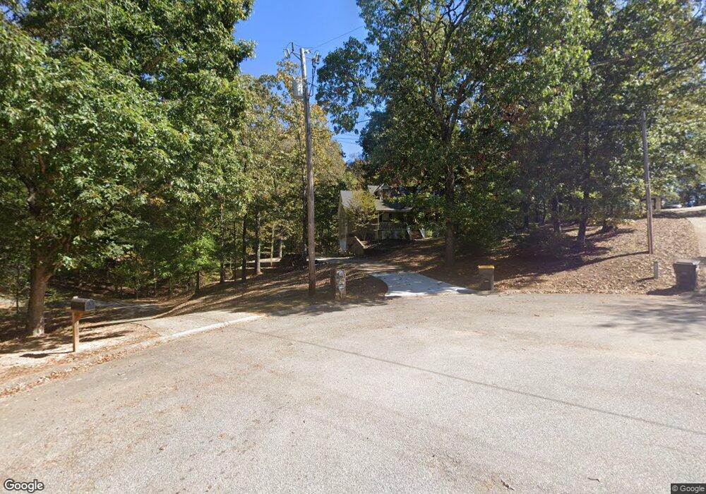
10 S Robin Ln Newnan, GA 30263
Estimated Value: $287,653 - $357,000
3
Beds
2
Baths
1,630
Sq Ft
$194/Sq Ft
Est. Value
About This Home
This home is located at 10 S Robin Ln, Newnan, GA 30263 and is currently estimated at $315,663, approximately $193 per square foot. 10 S Robin Ln is a home located in Coweta County with nearby schools including Atkinson Elementary School, Smokey Road Middle School, and Newnan High School.
Ownership History
Date
Name
Owned For
Owner Type
Purchase Details
Closed on
Mar 20, 2007
Sold by
Barnes Michael R and Barnes Stephanie B
Bought by
Kight James A and Kight Sara S
Current Estimated Value
Home Financials for this Owner
Home Financials are based on the most recent Mortgage that was taken out on this home.
Original Mortgage
$170,000
Outstanding Balance
$102,162
Interest Rate
6.22%
Mortgage Type
New Conventional
Estimated Equity
$213,501
Purchase Details
Closed on
Jun 29, 1994
Bought by
Barnes Michael R and Barnes S
Purchase Details
Closed on
Mar 16, 1992
Bought by
Barnes Michael R
Purchase Details
Closed on
Jun 28, 1991
Bought by
Robertson Carl A
Purchase Details
Closed on
Feb 2, 1990
Bought by
Robertson Carl A
Purchase Details
Closed on
Nov 30, 1986
Bought by
Robertson Carl A
Create a Home Valuation Report for This Property
The Home Valuation Report is an in-depth analysis detailing your home's value as well as a comparison with similar homes in the area
Home Values in the Area
Average Home Value in this Area
Purchase History
| Date | Buyer | Sale Price | Title Company |
|---|---|---|---|
| Kight James A | $170,000 | -- | |
| Barnes Michael R | -- | -- | |
| Barnes Michael R | $8,500 | -- | |
| Robertson Carl A | $80,000 | -- | |
| Robertson Carl A | $150,000 | -- | |
| Robertson Carl A | $202,000 | -- |
Source: Public Records
Mortgage History
| Date | Status | Borrower | Loan Amount |
|---|---|---|---|
| Open | Kight James A | $170,000 |
Source: Public Records
Tax History Compared to Growth
Tax History
| Year | Tax Paid | Tax Assessment Tax Assessment Total Assessment is a certain percentage of the fair market value that is determined by local assessors to be the total taxable value of land and additions on the property. | Land | Improvement |
|---|---|---|---|---|
| 2025 | $2,661 | $123,090 | $22,000 | $101,090 |
| 2024 | $2,386 | $107,363 | $16,000 | $91,363 |
| 2023 | $2,386 | $81,750 | $16,000 | $65,750 |
| 2022 | $1,827 | $78,867 | $16,000 | $62,867 |
| 2021 | $1,557 | $63,823 | $8,000 | $55,823 |
| 2020 | $1,566 | $63,823 | $8,000 | $55,823 |
| 2019 | $1,620 | $60,138 | $8,000 | $52,138 |
| 2018 | $1,623 | $60,138 | $8,000 | $52,138 |
| 2017 | $1,427 | $53,468 | $8,000 | $45,468 |
| 2016 | $1,412 | $53,468 | $8,000 | $45,468 |
| 2015 | $1,391 | $53,468 | $8,000 | $45,468 |
| 2014 | $1,382 | $53,468 | $8,000 | $45,468 |
Source: Public Records
Map
Nearby Homes
- 46 Brandish Dr
- 325 Brandish Dr
- 146 Moody Farm Rd
- 152 Moody Farm Rd
- 1925 Millard Farmer Rd
- 23 Corn Crib Dr
- 23 Corn Crib Ct
- 1967 Corinth Rd
- 185 Widgeon Dr
- 140 Beverly Park Ct
- 135 Widgeon Dr
- 15 Foxboro Trail
- 715 Earl North Rd
- LOT 1 Joe Roberts Rd
- LOT 3 Joe Roberts Rd
- 1109 Old Corinth Rd
- 2403 W Grantville Rd
- 89 Bailey Dr
- 150 Cresswind Blvd
- 407 Earl North Rd
- 0 S Robin Ln Unit 10105269
- 0 S Robin Ln Unit 10058412
- 0 S Robin Ln Unit 10016711
- 0 S Robin Ln Unit 8229428
- 20 S Robin Ln
- 16 Farrington Dr
- 1359 Corinth Rd
- 5 S Robin Ln
- 30 S Robin Ln
- 25 S Robin Ln
- 15 S Robin Ln Unit 20
- 15 S Robin Ln
- 42 Farrington Dr
- 40 S Robin Ln
- 35 S Robin Ln
- 54 Farrington Dr
- 1385 Corinth Rd
- 50 S Robin Ln
- 45 S Robin Ln
- 60 S Robin Ln