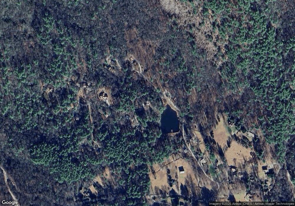
10 Sagee Trace Highlands, NC 28741
Estimated Value: $749,000 - $1,200,000
4
Beds
3
Baths
1,429
Sq Ft
$611/Sq Ft
Est. Value
About This Home
This home is located at 10 Sagee Trace, Highlands, NC 28741 and is currently estimated at $873,177, approximately $611 per square foot. 10 Sagee Trace is a home located in Macon County with nearby schools including Highlands School, Macon Middle School, and Mountain View Intermediate School.
Ownership History
Date
Name
Owned For
Owner Type
Purchase Details
Closed on
May 29, 2024
Sold by
Darby Duncan James and Mccord Rebecca
Bought by
James And Rebecca Duncan Living Trust and Duncan
Current Estimated Value
Purchase Details
Closed on
Mar 1, 2020
Sold by
Mccord Mark Lance and Edgerton Mcord David
Bought by
Duncan James Darby and Mccord Rebecca
Purchase Details
Closed on
May 21, 1991
Sold by
Mccord James
Bought by
Mccord, James E Life Estate
Create a Home Valuation Report for This Property
The Home Valuation Report is an in-depth analysis detailing your home's value as well as a comparison with similar homes in the area
Home Values in the Area
Average Home Value in this Area
Purchase History
| Date | Buyer | Sale Price | Title Company |
|---|---|---|---|
| James And Rebecca Duncan Living Trust | -- | None Listed On Document | |
| Duncan James Darby | -- | None Available | |
| Mccord, James E Life Estate | -- | -- |
Source: Public Records
Tax History Compared to Growth
Tax History
| Year | Tax Paid | Tax Assessment Tax Assessment Total Assessment is a certain percentage of the fair market value that is determined by local assessors to be the total taxable value of land and additions on the property. | Land | Improvement |
|---|---|---|---|---|
| 2025 | -- | $501,870 | $170,590 | $331,280 |
| 2024 | -- | $501,870 | $170,590 | $331,280 |
| 2023 | $1,549 | $498,000 | $170,590 | $327,410 |
| 2022 | $1,296 | $275,780 | $100,530 | $175,250 |
| 2021 | $1,296 | $276,280 | $100,530 | $175,750 |
| 2020 | $1,226 | $276,280 | $100,530 | $175,750 |
| 2018 | $1,228 | $314,970 | $139,710 | $175,260 |
| 2017 | -- | $314,970 | $139,710 | $175,260 |
| 2016 | $1,228 | $314,970 | $139,710 | $175,260 |
| 2015 | $1,205 | $314,970 | $139,710 | $175,260 |
| 2014 | $1,031 | $332,930 | $178,210 | $154,720 |
| 2013 | -- | $332,930 | $178,210 | $154,720 |
Source: Public Records
Map
Nearby Homes
- 251 Edwards Creek Rd
- 142 Edwards Creek Rd
- 424 Split Rail Row
- 5090 Horse Cove Rd
- TBD Sagee Woods Dr
- 225 Bowery Rd
- 581 Sagee Woods Dr
- 462 Bowery Rd
- 90 Fodderstack Rd
- 812 Ravenel Ridge Rd
- 87 & 91 Salt Rock Ct
- 87&91 Salt Rock Ct
- 1877 Bowery Rd
- TBD Upper Lake Rd Unit 69
- TBD Upper Lake Rd
- 186 Harris Dr
- 500 Walkingstick Rd
- 764 Hardscrabble Ridge Rd
- 81 Tanner Loop
- 65 Satulah Ridge Rd
- 0 Edwards Creek Rd
- 15 Sagee Trace
- 27 Sagee Trace
- 413 Edwards Creek Rd
- 293 Edwards Creek Rd
- 428 Edwards Creek Rd
- 91 Sagee Trace
- 211 Edwards Creek Rd
- 297 Edwards Creek Rd
- 215 Edwards Creek Rd
- 159 Edwards Creek Rd
- 3380 Horse Cove Rd
- 457 Edwards Creek Rd
- 460 Edwards Creek Rd
- 121 Edwards Creek Rd
- 3484 Horse Cove Rd
- 472 Edwards Creek Rd
- 107 Edwards Creek Rd
- 464 Edwards Creek Rd
- 580 Edwards Creek Rd
