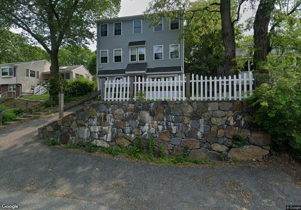
10 Sampson Ave Swampscott, MA 01907
Estimated Value: $749,000 - $934,000
--
Bed
3
Baths
1,934
Sq Ft
$420/Sq Ft
Est. Value
About This Home
This home is located at 10 Sampson Ave, Swampscott, MA 01907 and is currently estimated at $812,025, approximately $419 per square foot. 10 Sampson Ave is a home located in Essex County with nearby schools including Swampscott Middle School, Swampscott High School, and St. Pius V. School.
Ownership History
Date
Name
Owned For
Owner Type
Purchase Details
Closed on
Dec 24, 2008
Sold by
444 Saunders Avenue Rt and Dandreo
Bought by
Chavez Jennifer Smith and Chavez Robert F
Current Estimated Value
Home Financials for this Owner
Home Financials are based on the most recent Mortgage that was taken out on this home.
Original Mortgage
$366,000
Outstanding Balance
$241,317
Interest Rate
6.17%
Mortgage Type
Purchase Money Mortgage
Estimated Equity
$570,708
Create a Home Valuation Report for This Property
The Home Valuation Report is an in-depth analysis detailing your home's value as well as a comparison with similar homes in the area
Home Values in the Area
Average Home Value in this Area
Purchase History
| Date | Buyer | Sale Price | Title Company |
|---|---|---|---|
| Chavez Jennifer Smith | $407,000 | -- | |
| Chavez Jennifer Smith | $407,000 | -- |
Source: Public Records
Mortgage History
| Date | Status | Borrower | Loan Amount |
|---|---|---|---|
| Open | Chavez Jennifer Smith | $366,000 | |
| Closed | Chavez Jennifer Smith | $366,000 |
Source: Public Records
Tax History Compared to Growth
Tax History
| Year | Tax Paid | Tax Assessment Tax Assessment Total Assessment is a certain percentage of the fair market value that is determined by local assessors to be the total taxable value of land and additions on the property. | Land | Improvement |
|---|---|---|---|---|
| 2025 | $7,735 | $674,400 | $241,100 | $433,300 |
| 2024 | $7,511 | $653,700 | $229,600 | $424,100 |
| 2023 | $7,291 | $621,000 | $229,600 | $391,400 |
| 2022 | $7,113 | $554,400 | $195,600 | $358,800 |
| 2021 | $6,536 | $473,600 | $153,100 | $320,500 |
| 2020 | $6,674 | $466,700 | $153,100 | $313,600 |
| 2019 | $6,807 | $447,800 | $136,100 | $311,700 |
| 2018 | $6,678 | $417,400 | $119,100 | $298,300 |
| 2017 | $6,856 | $392,900 | $110,600 | $282,300 |
| 2016 | $6,662 | $384,400 | $102,100 | $282,300 |
| 2015 | $6,592 | $384,400 | $102,100 | $282,300 |
| 2014 | $6,644 | $355,300 | $85,000 | $270,300 |
Source: Public Records
Map
Nearby Homes
- 150 Windsor Ave
- 9 Sampson Ave
- 44 Valley Rd
- 100 Burpee Rd
- 25 E Park Ave
- 44 Cherry St Unit 2
- 31 Madison St
- 91 Oakwood Ave
- 76 Stetson Ave
- 20 Clark St
- 605 Eastern Ave Unit 211
- 51 Barnstable St
- 6 Washburn St
- 59 Essex St Unit 59B
- 29-31 Essex Ave Unit 2
- 2 Gracie Ln Unit 4
- 106 Norfolk Ave
- 80 Norfolk Ave Unit 1
- 8 Ryan Place
- 10-12 Fairview Ave
- 12 Sampson Ave
- 8 Sampson Ave
- 20 Sampson Ave
- 6 Sampson Ave
- 160 Windsor Ave
- 11 Sampson Ave
- 140 Windsor Ave
- 164 Windsor Ave
- 7 Sampson Ave
- 13 Sampson Ave
- 26 Sampson Ave
- 5 Sampson Ave
- 176 Windsor Ave
- 15 Sampson Ave
- LOT357 Sampson Ave
- 44 Sampson Ave
- 2 Fisher Ave
- 161 Windsor Ave
- 41 Sampson Ave
- 185 Windsor Ave