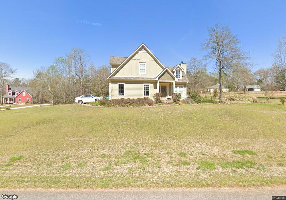
10 Samuel Ct Danielsville, GA 30633
Estimated Value: $342,000 - $418,000
3
Beds
3
Baths
2,230
Sq Ft
$171/Sq Ft
Est. Value
About This Home
This home is located at 10 Samuel Ct, Danielsville, GA 30633 and is currently estimated at $381,595, approximately $171 per square foot. 10 Samuel Ct is a home located in Madison County with nearby schools including Madison County High School.
Ownership History
Date
Name
Owned For
Owner Type
Purchase Details
Closed on
Aug 16, 2006
Sold by
Nix Lora Nation Chandler
Bought by
Hendrix Jonathan A
Current Estimated Value
Home Financials for this Owner
Home Financials are based on the most recent Mortgage that was taken out on this home.
Original Mortgage
$192,600
Outstanding Balance
$114,244
Interest Rate
6.73%
Estimated Equity
$267,351
Purchase Details
Closed on
Oct 6, 2004
Sold by
Sawtooth Developers Inc
Bought by
Chandler Lora N
Purchase Details
Closed on
Apr 26, 2004
Bought by
Sawtooth Developers Inc
Create a Home Valuation Report for This Property
The Home Valuation Report is an in-depth analysis detailing your home's value as well as a comparison with similar homes in the area
Home Values in the Area
Average Home Value in this Area
Purchase History
| Date | Buyer | Sale Price | Title Company |
|---|---|---|---|
| Hendrix Jonathan A | $214,000 | -- | |
| Chandler Lora N | $32,000 | -- | |
| Sawtooth Developers Inc | -- | -- |
Source: Public Records
Mortgage History
| Date | Status | Borrower | Loan Amount |
|---|---|---|---|
| Open | Hendrix Jonathan A | $192,600 |
Source: Public Records
Tax History Compared to Growth
Tax History
| Year | Tax Paid | Tax Assessment Tax Assessment Total Assessment is a certain percentage of the fair market value that is determined by local assessors to be the total taxable value of land and additions on the property. | Land | Improvement |
|---|---|---|---|---|
| 2025 | $4,339 | $142,219 | $18,000 | $124,219 |
| 2024 | $4,224 | $135,062 | $9,600 | $125,462 |
| 2023 | $4,852 | $132,551 | $9,600 | $122,951 |
| 2022 | $3,771 | $117,804 | $9,600 | $108,204 |
| 2021 | $3,283 | $91,448 | $9,600 | $81,848 |
| 2020 | $2,867 | $79,755 | $9,600 | $70,155 |
| 2019 | $2,838 | $78,176 | $9,600 | $68,576 |
| 2018 | $2,782 | $76,468 | $9,600 | $66,868 |
| 2017 | $2,633 | $76,933 | $9,600 | $67,333 |
| 2016 | $2,458 | $72,728 | $9,600 | $63,128 |
| 2015 | $1,650 | $56,946 | $9,600 | $47,346 |
| 2014 | $1,646 | $56,751 | $9,600 | $47,151 |
| 2013 | -- | $56,751 | $9,600 | $47,151 |
Source: Public Records
Map
Nearby Homes
- 49 Ridgeway Dr
- 96 Northridge Dr Unit 10
- 96 Northridge Dr
- 112 Northridge Dr Unit 8
- 112 Northridge Dr
- 140 Northridge Dr
- 140 Northridge Dr Unit 6
- 150 Northridge Dr Unit 3
- 150 Northridge Dr
- 170 Northridge Dr
- 0 Veterans Dr Unit 10462425
- 0 Veterans Dr Unit 10462434
- 0 Veterans Dr Unit 10462428
- 0 Veterans Dr Unit 10462420
- 0 Veterans Dr Unit 10462408
- 0 Veterans Dr Unit 10462402
- 155 Mulberry Ln
- 51 Wagener Ln Unit 1
- 00 Highway 29 Unit A
- 105 Georgia 98
- 000 Samuel Ct
- 16 Samuel Ct Unit 23
- 25 Natalie Ct
- 27 Natalie Ct
- 83 Long Estates Dr
- 83 Long Estates Dr Unit 8
- 19 Long Estates Dr
- 1 Long Estates Dr
- 24 Samuel Ct
- 70 Natalie Ct
- 195 Long Estates Dr
- 195 Long Estate
- 195 Long Estate Unit DR
- 26 Natalie Ct
- 62 Natalie Ct
- 50 Madalyn Ct
- 50 Madalyn Ct Unit 1
- 174 Pecan St
- 191 Pecan St
- 164 Pecan St Unit 3