10 Sand Pit Way Orland, ME 04472
Estimated Value: $208,000 - $494,000
2
Beds
--
Bath
523
Sq Ft
$671/Sq Ft
Est. Value
About This Home
This home is located at 10 Sand Pit Way, Orland, ME 04472 and is currently estimated at $351,000, approximately $671 per square foot. 10 Sand Pit Way is a home with nearby schools including G. Herbert Jewett School, Miles Lane School, and Bucksport Middle School.
Create a Home Valuation Report for This Property
The Home Valuation Report is an in-depth analysis detailing your home's value as well as a comparison with similar homes in the area
Home Values in the Area
Average Home Value in this Area
Tax History Compared to Growth
Tax History
| Year | Tax Paid | Tax Assessment Tax Assessment Total Assessment is a certain percentage of the fair market value that is determined by local assessors to be the total taxable value of land and additions on the property. | Land | Improvement |
|---|---|---|---|---|
| 2024 | $1,918 | $157,480 | $157,480 | $0 |
| 2023 | $2,544 | $215,930 | $157,480 | $58,450 |
| 2022 | $2,112 | $215,930 | $157,480 | $58,450 |
| 2021 | $1,563 | $102,150 | $60,470 | $41,680 |
| 2020 | $1,563 | $102,150 | $60,470 | $41,680 |
| 2019 | $1,583 | $102,150 | $60,470 | $41,680 |
| 2018 | $1,501 | $102,150 | $60,470 | $41,680 |
| 2017 | $1,425 | $102,150 | $60,470 | $41,680 |
| 2016 | $1,426 | $104,060 | $60,470 | $43,590 |
| 2015 | $1,426 | $104,060 | $60,470 | $43,590 |
| 2014 | $1,335 | $93,980 | $50,390 | $43,590 |
| 2013 | $1,335 | $93,980 | $50,390 | $43,590 |
Source: Public Records
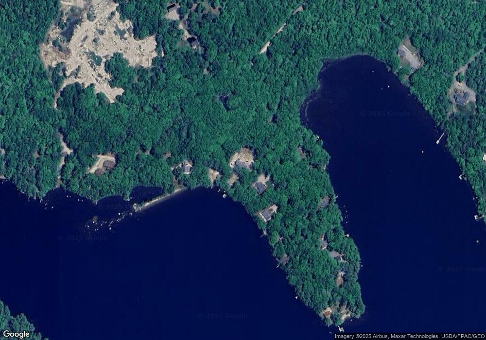
Map
Nearby Homes
- 19 & 23 Skyhawk Way
- 51 Short Point Way
- 00 Acadia Hwy
- 45 Barbaras Rd
- 40 & 43 Polliwog Ln
- 7 Grande View Rd
- 0 map 7/2 Ebens Trail
- 0 map 7/1 Ebens Trail
- 130 Hartview Cir
- 8 Violette Way
- 00 Front Ridge Rd
- 43 Back Ridge Rd
- Lot 37 Wedge Heights
- 160 Front Ridge Rd
- 17 Birch Heights
- 41 Wildwood Ln
- Lot #15 Toddy Pond Rd
- 157 Craig Pond Trail
- 9 Meadow Brook Ln
- 116 Route 1