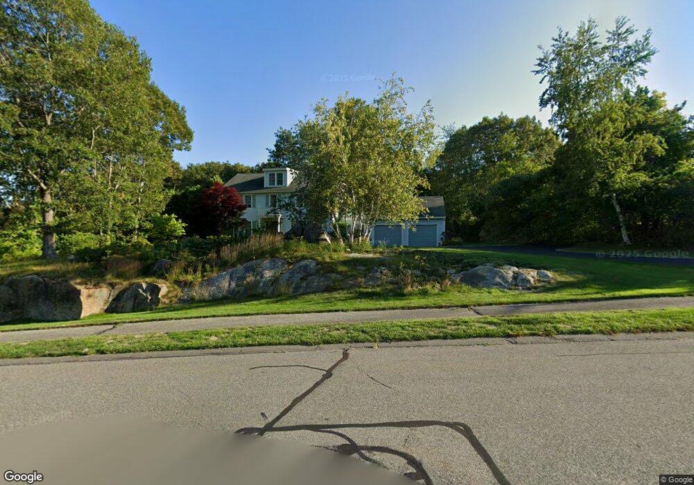
10 Sea Fox Ln Unit 1 Gloucester, MA 01930
West Gloucester NeighborhoodEstimated Value: $1,228,925 - $1,462,000
4
Beds
3
Baths
2,596
Sq Ft
$523/Sq Ft
Est. Value
About This Home
This home is located at 10 Sea Fox Ln Unit 1, Gloucester, MA 01930 and is currently estimated at $1,356,481, approximately $522 per square foot. 10 Sea Fox Ln Unit 1 is a home located in Essex County with nearby schools including West Parish, Ralph B O'maley Middle School, and Faith Christian School.
Ownership History
Date
Name
Owned For
Owner Type
Purchase Details
Closed on
Nov 20, 2017
Sold by
Deych Lydia and Deych Ruvin
Bought by
10 Sea Fox Lane Rt
Current Estimated Value
Purchase Details
Closed on
Sep 12, 2006
Sold by
Cloutier Annmarie and Cloutier David
Bought by
Deych Ruvin and Deych Lidiya
Purchase Details
Closed on
Nov 24, 2004
Sold by
Yahyapour Kazem
Bought by
Cloutier David and Cloutier Ann Marie
Purchase Details
Closed on
Jun 26, 2003
Sold by
Burrill Carol J and Burrill James T
Bought by
Yahyapour Kazem and Yahyapour Said
Purchase Details
Closed on
Dec 1, 1995
Sold by
Charles B Nicol T
Bought by
Burrill James T and Burrill Carol
Create a Home Valuation Report for This Property
The Home Valuation Report is an in-depth analysis detailing your home's value as well as a comparison with similar homes in the area
Home Values in the Area
Average Home Value in this Area
Purchase History
| Date | Buyer | Sale Price | Title Company |
|---|---|---|---|
| 10 Sea Fox Lane Rt | -- | -- | |
| Deych Ruvin | $668,000 | -- | |
| Cloutier David | $700,000 | -- | |
| Yahyapour Kazem | $630,000 | -- | |
| Burrill James T | $115,000 | -- |
Source: Public Records
Mortgage History
| Date | Status | Borrower | Loan Amount |
|---|---|---|---|
| Previous Owner | Burrill James T | $270,000 | |
| Previous Owner | Burrill James T | $329,000 |
Source: Public Records
Tax History Compared to Growth
Tax History
| Year | Tax Paid | Tax Assessment Tax Assessment Total Assessment is a certain percentage of the fair market value that is determined by local assessors to be the total taxable value of land and additions on the property. | Land | Improvement |
|---|---|---|---|---|
| 2025 | $9,256 | $952,300 | $299,100 | $653,200 |
| 2024 | $9,128 | $938,100 | $284,900 | $653,200 |
| 2023 | $8,741 | $825,400 | $254,200 | $571,200 |
| 2022 | $8,412 | $717,100 | $216,200 | $500,900 |
| 2021 | $8,122 | $652,900 | $196,600 | $456,300 |
| 2020 | $8,283 | $671,800 | $196,600 | $475,200 |
| 2019 | $8,014 | $631,500 | $196,600 | $434,900 |
| 2018 | $7,807 | $603,800 | $196,600 | $407,200 |
| 2017 | $8,894 | $674,300 | $288,000 | $386,300 |
| 2016 | $8,559 | $628,900 | $275,400 | $353,500 |
| 2015 | $8,234 | $603,200 | $269,200 | $334,000 |
Source: Public Records
Map
Nearby Homes
- 188 Atlantic St
- 226 Atlantic St
- 30 Atlantic St
- 49 Thurston Point Rd
- 6 River Rd
- 109 Riverview Rd
- 672 Washington St
- 5 Samoset Rd Unit A
- 18 Cherry St
- 368 Essex Ave
- 11 Overlook Ave
- 65 Poplar St
- 145 Essex Ave Unit 610
- 227 Essex Ave
- 6 Beauport Ave
- 19 Mystic Ave
- 196 Washington St
- 3 Colburn St
- 3 Colburn St Unit 1
- 3 Colburn St Unit 2