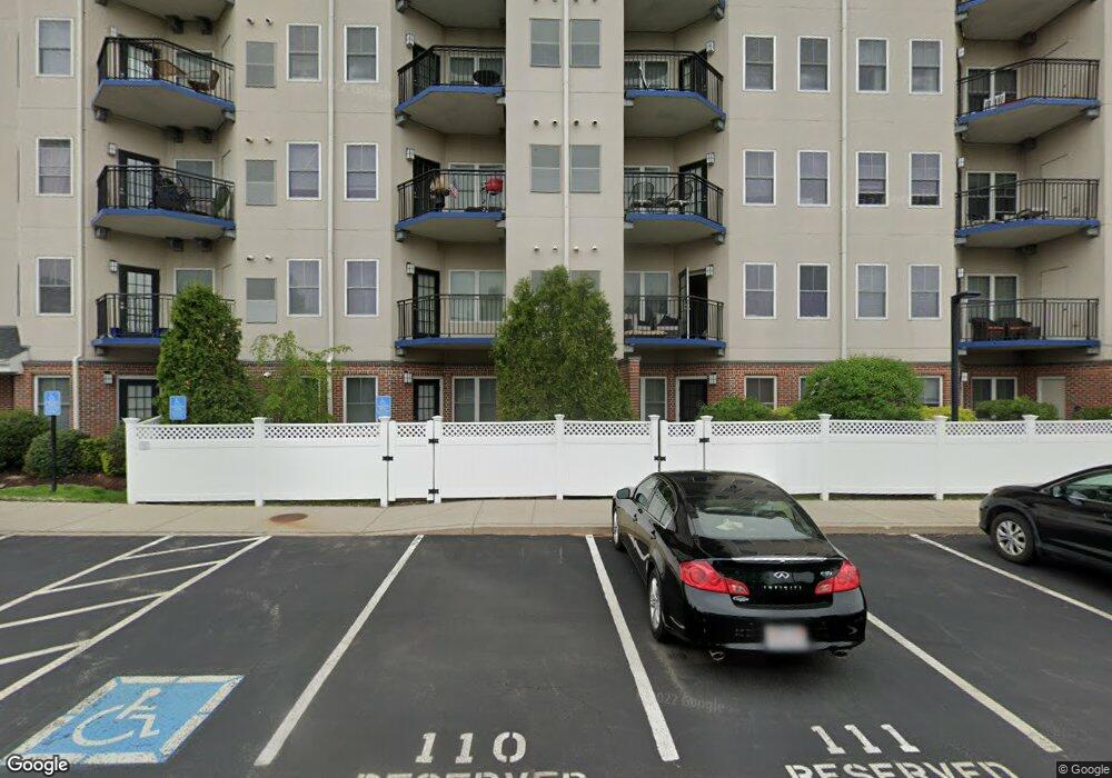
Atlantic at Marina Bay 10 Seaport Dr Unit 2611 Quincy, MA 02171
Marina Bay NeighborhoodEstimated Value: $473,534 - $600,000
1
Bed
1
Bath
856
Sq Ft
$621/Sq Ft
Est. Value
About This Home
This home is located at 10 Seaport Dr Unit 2611, Quincy, MA 02171 and is currently estimated at $531,884, approximately $621 per square foot. 10 Seaport Dr Unit 2611 is a home located in Norfolk County with nearby schools including Squantum Elementary School, Atlantic Middle School, and North Quincy High School.
Ownership History
Date
Name
Owned For
Owner Type
Purchase Details
Closed on
Feb 27, 2009
Sold by
10 Seaport Dr Assoc Ll
Bought by
Thakral Manu
Current Estimated Value
Home Financials for this Owner
Home Financials are based on the most recent Mortgage that was taken out on this home.
Original Mortgage
$260,000
Outstanding Balance
$164,182
Interest Rate
5%
Mortgage Type
Purchase Money Mortgage
Estimated Equity
$367,702
Create a Home Valuation Report for This Property
The Home Valuation Report is an in-depth analysis detailing your home's value as well as a comparison with similar homes in the area
Home Values in the Area
Average Home Value in this Area
Purchase History
| Date | Buyer | Sale Price | Title Company |
|---|---|---|---|
| Thakral Manu | $290,000 | -- |
Source: Public Records
Mortgage History
| Date | Status | Borrower | Loan Amount |
|---|---|---|---|
| Open | Thakral Manu | $260,000 |
Source: Public Records
Tax History Compared to Growth
Tax History
| Year | Tax Paid | Tax Assessment Tax Assessment Total Assessment is a certain percentage of the fair market value that is determined by local assessors to be the total taxable value of land and additions on the property. | Land | Improvement |
|---|---|---|---|---|
| 2025 | $4,743 | $411,400 | $0 | $411,400 |
| 2024 | $4,510 | $400,200 | $0 | $400,200 |
| 2023 | $4,317 | $387,900 | $0 | $387,900 |
| 2022 | $4,361 | $364,000 | $0 | $364,000 |
| 2021 | $4,601 | $379,000 | $0 | $379,000 |
| 2020 | $4,523 | $363,900 | $0 | $363,900 |
| 2019 | $4,172 | $332,400 | $0 | $332,400 |
| 2018 | $4,469 | $335,000 | $0 | $335,000 |
| 2017 | $4,410 | $311,200 | $0 | $311,200 |
| 2016 | $4,192 | $291,900 | $0 | $291,900 |
| 2015 | $3,958 | $271,100 | $0 | $271,100 |
| 2014 | $3,688 | $248,200 | $0 | $248,200 |
Source: Public Records
About Atlantic at Marina Bay
Map
Nearby Homes
- 10 Seaport Dr Unit 2311
- 25 Tilden Commons Dr
- 2001 Marina Dr Unit 506W
- 2001 Marina Dr Unit 211
- 9 Whaler Ln
- 10 Sloop Ln
- 6 Schooner Ln
- 19 Harbourside Rd Unit 19
- 1001 Marina Dr Unit 801
- 1001 Marina Dr Unit 213
- 1001 Marina Dr Unit 612
- 171 Walnut St Unit 4
- 169 Walnut St Unit 2
- 166 Quincy Shore Dr Unit 108
- 212 Quincy Shore Dr
- 148 Quincy Shore Dr Unit 43
- 25 Hummock Rd
- 138 Quincy Shore Dr Unit 170
- 175 Quincy Shore Dr Unit B24
- 62 Redfield St Unit 1
- 10 Seaport Dr Unit 6666
- 10 Seaport Dr Unit 2618
- 10 Seaport Dr Unit 2617
- 10 Seaport Dr Unit 2616
- 10 Seaport Dr Unit 2615
- 10 Seaport Dr Unit 2614
- 10 Seaport Dr Unit 2613
- 10 Seaport Dr Unit 2612
- 10 Seaport Dr Unit 2610
- 10 Seaport Dr Unit 2609
- 10 Seaport Dr Unit 2608
- 10 Seaport Dr Unit 2607
- 10 Seaport Dr Unit 2606
- 10 Seaport Dr Unit 2605
- 10 Seaport Dr Unit 2604
- 10 Seaport Dr Unit 2603
- 10 Seaport Dr Unit 2602
- 10 Seaport Dr Unit 2601
- 10 Seaport Dr Unit 2517
- 10 Seaport Dr Unit 2516