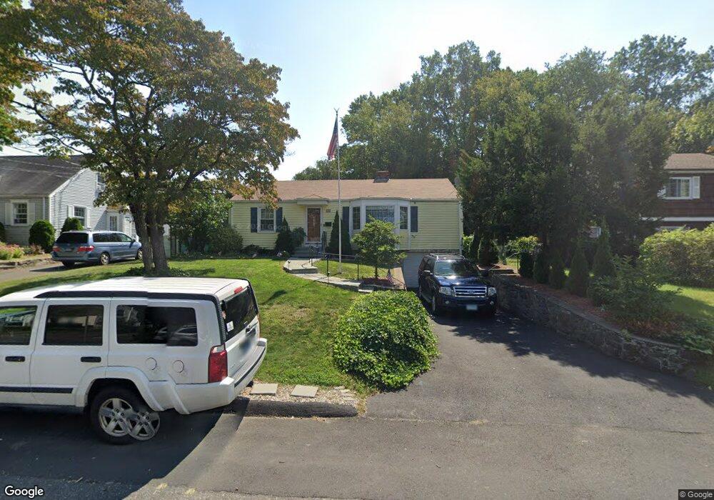
10 Senga Rd Norwalk, CT 06854
Brookside NeighborhoodEstimated Value: $519,939 - $548,000
2
Beds
1
Bath
1,156
Sq Ft
$459/Sq Ft
Est. Value
About This Home
This home is located at 10 Senga Rd, Norwalk, CT 06854 and is currently estimated at $530,985, approximately $459 per square foot. 10 Senga Rd is a home located in Fairfield County with nearby schools including Brookside Elementary School, Roton Middle School, and Brien Mcmahon High School.
Ownership History
Date
Name
Owned For
Owner Type
Purchase Details
Closed on
Sep 1, 2023
Sold by
Pomponi Jeffrey J and Pomponi Bonnie
Bought by
M B
Current Estimated Value
Purchase Details
Closed on
Jul 16, 2002
Sold by
Hardiman James J
Bought by
Pomponi Jeffrey J and Pomponi Bonnie
Purchase Details
Closed on
Aug 11, 1995
Sold by
Elston Roger and Elston Tanya
Bought by
Hardiman James and Hardiman Janine
Create a Home Valuation Report for This Property
The Home Valuation Report is an in-depth analysis detailing your home's value as well as a comparison with similar homes in the area
Home Values in the Area
Average Home Value in this Area
Purchase History
| Date | Buyer | Sale Price | Title Company |
|---|---|---|---|
| M B | -- | None Available | |
| M B | -- | None Available | |
| Pomponi Jeffrey J | $305,000 | -- | |
| Pomponi Jeffrey J | $305,000 | -- | |
| Hardiman James | $155,500 | -- | |
| Hardiman James | $155,500 | -- |
Source: Public Records
Mortgage History
| Date | Status | Borrower | Loan Amount |
|---|---|---|---|
| Previous Owner | Hardiman James | $284,523 | |
| Previous Owner | Hardiman James | $100,000 |
Source: Public Records
Tax History
| Year | Tax Paid | Tax Assessment Tax Assessment Total Assessment is a certain percentage of the fair market value that is determined by local assessors to be the total taxable value of land and additions on the property. | Land | Improvement |
|---|---|---|---|---|
| 2025 | $7,436 | $310,550 | $160,730 | $149,820 |
| 2024 | $7,326 | $310,550 | $160,730 | $149,820 |
| 2023 | $5,375 | $213,620 | $122,780 | $90,840 |
| 2022 | $5,275 | $213,620 | $122,780 | $90,840 |
| 2021 | $5,138 | $213,620 | $122,780 | $90,840 |
| 2020 | $5,135 | $213,620 | $122,780 | $90,840 |
| 2019 | $4,991 | $213,620 | $122,780 | $90,840 |
| 2018 | $5,380 | $201,790 | $127,400 | $74,390 |
| 2017 | $5,195 | $201,790 | $127,400 | $74,390 |
| 2016 | $5,146 | $201,790 | $127,400 | $74,390 |
| 2015 | $5,132 | $201,790 | $127,400 | $74,390 |
| 2014 | $5,065 | $201,790 | $127,400 | $74,390 |
Source: Public Records
Map
Nearby Homes
- 4 Senga Rd
- 5 Mcallister Ave
- 6 W Couch St
- 10 Keith St
- 47 Taylor Ave
- 6 Norton Place
- 2 Rochelle Rd
- 18 Oakhill Ave
- 8 Taylor Ave Unit 2
- 39 Bayview Ave
- 187 Flax Hill Rd Unit D5
- 10 Ledgebrook Dr Unit 1
- 11 Ledgebrook Dr Unit 11
- 61 Cedar St
- 192 Gillies Ln
- 115 Flax Hill Rd Unit 6
- 34 Ferris Ave Unit A2
- 29 Nash Place
- 92 Ledgebrook Dr Unit 92
- 75 N Taylor Ave
Your Personal Tour Guide
Ask me questions while you tour the home.