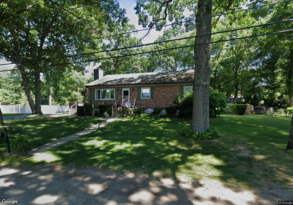
10 Shady Oak Ln Natick, MA 01760
Estimated Value: $669,000 - $789,000
3
Beds
1
Bath
1,260
Sq Ft
$585/Sq Ft
Est. Value
About This Home
This home is located at 10 Shady Oak Ln, Natick, MA 01760 and is currently estimated at $737,371, approximately $585 per square foot. 10 Shady Oak Ln is a home located in Middlesex County with nearby schools including Natick High School, J F Kennedy Middle School, and Brown Elementary School.
Ownership History
Date
Name
Owned For
Owner Type
Purchase Details
Closed on
Mar 18, 2021
Sold by
Pereira Mary M
Bought by
Pereira Theresa M
Current Estimated Value
Purchase Details
Closed on
Sep 1, 1975
Bought by
Pereira Mary M
Create a Home Valuation Report for This Property
The Home Valuation Report is an in-depth analysis detailing your home's value as well as a comparison with similar homes in the area
Home Values in the Area
Average Home Value in this Area
Purchase History
| Date | Buyer | Sale Price | Title Company |
|---|---|---|---|
| Pereira Theresa M | -- | None Available | |
| Pereira Mary M | -- | -- |
Source: Public Records
Mortgage History
| Date | Status | Borrower | Loan Amount |
|---|---|---|---|
| Previous Owner | Pereira Mary M | $119,000 | |
| Previous Owner | Pereira Mary M | $66,000 | |
| Previous Owner | Pereira Mary M | $44,600 | |
| Previous Owner | Pereira Mary M | $33,584 |
Source: Public Records
Tax History Compared to Growth
Tax History
| Year | Tax Paid | Tax Assessment Tax Assessment Total Assessment is a certain percentage of the fair market value that is determined by local assessors to be the total taxable value of land and additions on the property. | Land | Improvement |
|---|---|---|---|---|
| 2025 | $7,807 | $652,800 | $422,000 | $230,800 |
| 2024 | $7,701 | $628,100 | $406,200 | $221,900 |
| 2023 | $7,600 | $601,300 | $383,000 | $218,300 |
| 2022 | $7,344 | $550,500 | $349,700 | $200,800 |
| 2021 | $7,013 | $515,300 | $328,900 | $186,400 |
| 2020 | $6,800 | $499,600 | $313,200 | $186,400 |
| 2019 | $6,350 | $499,600 | $313,200 | $186,400 |
| 2018 | $5,559 | $426,000 | $313,200 | $112,800 |
| 2017 | $5,157 | $382,300 | $271,500 | $110,800 |
| 2016 | $4,888 | $360,200 | $250,500 | $109,700 |
| 2015 | $4,855 | $351,300 | $250,500 | $100,800 |
Source: Public Records
Map
Nearby Homes
- 143 Howe St
- 204 Hartford St
- 126 Bishop Dr
- 155 Bishop Dr
- 101 Bishop Dr Unit 101
- 369 Grant St
- 369 Grant St Unit 1
- 369 Grant St Unit 2
- 369 Grant St Unit 3
- 287 W Central St
- 26 Willis St Unit 33
- 6 Clarks Hill Ln Unit 6
- 159 Bishop St
- 88 Pond St Unit 88
- 8 Vernon Rd
- 31 Palmer Rd
- 7 Village Way Unit 4
- 38 Ranger Rd
- 9 Village Hill Ln Unit 24
- 44 Village Hill Ln