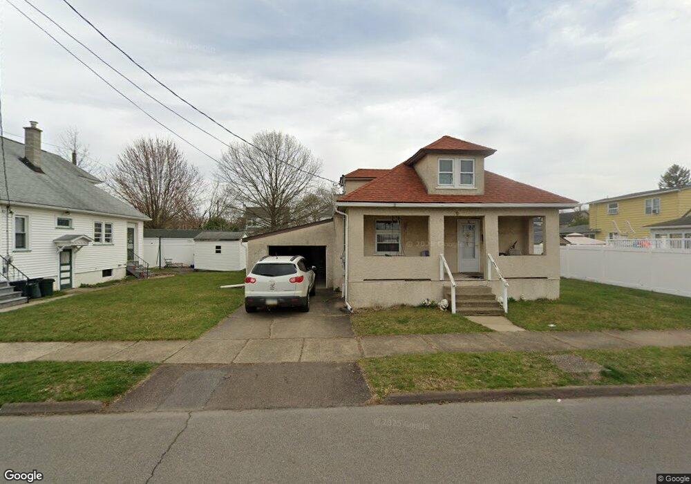
10 Sharpe St Wyoming, PA 18644
Estimated Value: $138,132 - $208,000
--
Bed
--
Bath
1,112
Sq Ft
$146/Sq Ft
Est. Value
About This Home
This home is located at 10 Sharpe St, Wyoming, PA 18644 and is currently estimated at $162,533, approximately $146 per square foot. 10 Sharpe St is a home located in Luzerne County with nearby schools including Wyoming Area Secondary Center, Wyoming Area Catholic School, and Wyoming Seminary Lower School.
Ownership History
Date
Name
Owned For
Owner Type
Purchase Details
Closed on
Jan 1, 1960
Bought by
Robbins Joan
Current Estimated Value
Create a Home Valuation Report for This Property
The Home Valuation Report is an in-depth analysis detailing your home's value as well as a comparison with similar homes in the area
Home Values in the Area
Average Home Value in this Area
Purchase History
| Date | Buyer | Sale Price | Title Company |
|---|---|---|---|
| Robbins Joan | -- | -- |
Source: Public Records
Tax History Compared to Growth
Tax History
| Year | Tax Paid | Tax Assessment Tax Assessment Total Assessment is a certain percentage of the fair market value that is determined by local assessors to be the total taxable value of land and additions on the property. | Land | Improvement |
|---|---|---|---|---|
| 2025 | $2,302 | $73,800 | $18,100 | $55,700 |
| 2024 | $2,208 | $73,800 | $18,100 | $55,700 |
| 2023 | $2,071 | $73,800 | $18,100 | $55,700 |
| 2022 | $2,057 | $73,800 | $18,100 | $55,700 |
| 2021 | $2,031 | $73,800 | $18,100 | $55,700 |
| 2020 | $1,987 | $73,800 | $18,100 | $55,700 |
| 2019 | $1,935 | $73,800 | $18,100 | $55,700 |
| 2018 | $1,749 | $73,800 | $18,100 | $55,700 |
| 2017 | $1,711 | $73,800 | $18,100 | $55,700 |
| 2016 | -- | $73,800 | $18,100 | $55,700 |
| 2015 | $1,347 | $73,800 | $18,100 | $55,700 |
| 2014 | $1,347 | $73,800 | $18,100 | $55,700 |
Source: Public Records
Map
Nearby Homes
- 40-42 E 3rd St
- 253 Birchwood Ct
- 162 Birchwood Village Estates
- 1946 Wyoming Ave Unit 134
- 1946 Wyoming Ave Unit 136
- 1946 Wyoming Ave Unit 193
- 1946 Wyoming Ave Unit 197
- 1946 Wyoming Ave Unit 148
- 1946 Wyoming Ave Unit 276
- 1946 Wyoming Ave Unit 131
- 1946 Wyoming Ave Unit 138
- 282 Birchwood Ct
- 271 Monument Ave
- 112 Friend St
- 1369 Main St
- 213 Cedar St
- 54 Grant St
- 547 Wyoming Ave
- 533 Dennison Ave
- 299 Sususquehanns Ave