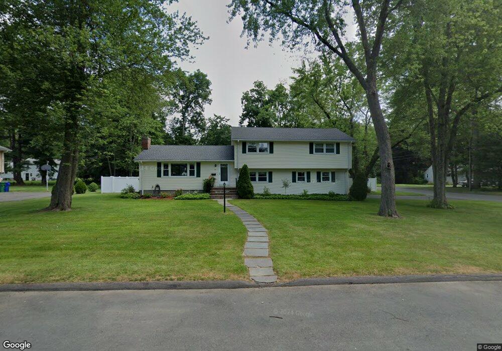
10 Shepard Rd Bloomfield, CT 06002
Estimated Value: $382,000 - $506,000
3
Beds
3
Baths
1,532
Sq Ft
$289/Sq Ft
Est. Value
About This Home
This home is located at 10 Shepard Rd, Bloomfield, CT 06002 and is currently estimated at $442,623, approximately $288 per square foot. 10 Shepard Rd is a home located in Hartford County with nearby schools including Carmen Arace Intermediate School, Metacomet School, and Laurel School.
Ownership History
Date
Name
Owned For
Owner Type
Purchase Details
Closed on
Nov 20, 2012
Sold by
Befera Anthony R and Dubois Suzette A
Bought by
Befera Anthony R and Befera Suzette A
Current Estimated Value
Home Financials for this Owner
Home Financials are based on the most recent Mortgage that was taken out on this home.
Original Mortgage
$158,000
Outstanding Balance
$26,970
Interest Rate
2.71%
Mortgage Type
New Conventional
Estimated Equity
$415,653
Purchase Details
Closed on
Nov 2, 2009
Sold by
Lewis Stanley
Bought by
Befern Anthony and Dubois Suzette
Home Financials for this Owner
Home Financials are based on the most recent Mortgage that was taken out on this home.
Original Mortgage
$180,000
Interest Rate
5.06%
Mortgage Type
Purchase Money Mortgage
Create a Home Valuation Report for This Property
The Home Valuation Report is an in-depth analysis detailing your home's value as well as a comparison with similar homes in the area
Home Values in the Area
Average Home Value in this Area
Purchase History
| Date | Buyer | Sale Price | Title Company |
|---|---|---|---|
| Befera Anthony R | -- | -- | |
| Befera Anthony R | -- | -- | |
| Befern Anthony | $262,000 | -- | |
| Befern Anthony | $262,000 | -- |
Source: Public Records
Mortgage History
| Date | Status | Borrower | Loan Amount |
|---|---|---|---|
| Open | Befern Anthony | $158,000 | |
| Previous Owner | Befern Anthony | $180,000 | |
| Previous Owner | Befern Anthony | $20,000 |
Source: Public Records
Tax History
| Year | Tax Paid | Tax Assessment Tax Assessment Total Assessment is a certain percentage of the fair market value that is determined by local assessors to be the total taxable value of land and additions on the property. | Land | Improvement |
|---|---|---|---|---|
| 2025 | $9,306 | $248,150 | $55,720 | $192,430 |
| 2024 | $6,631 | $168,980 | $46,690 | $122,290 |
| 2023 | $6,511 | $168,980 | $46,690 | $122,290 |
| 2022 | $6,088 | $168,980 | $46,690 | $122,290 |
| 2021 | $6,224 | $168,980 | $46,690 | $122,290 |
| 2020 | $6,127 | $168,980 | $46,690 | $122,290 |
| 2019 | $6,487 | $167,790 | $46,690 | $121,100 |
| 2018 | $5,236 | $135,590 | $42,350 | $93,240 |
| 2017 | $5,228 | $135,590 | $42,350 | $93,240 |
| 2016 | $5,105 | $135,590 | $42,350 | $93,240 |
| 2015 | $5,010 | $135,590 | $42,350 | $93,240 |
| 2014 | $5,001 | $139,930 | $49,350 | $90,580 |
Source: Public Records
Map
Nearby Homes
- 41 Timberwood Rd
- 55 Sunny Reach Dr
- 25 Hilldale Rd
- 40 Cottage Grove Cir
- 49 Tyler St
- 79 Prospect St
- 171 N Canaan St
- 1347 Hall Blvd
- 180 Brookline Ave
- 6 Spy Glass Cir
- 17 Harwich Ln Unit 17
- 148 King Philip Dr
- 165 Bloomfield Ave
- 256 Park Ave
- 110 Darby St
- 159 School St
- 111 Bloomfield Ave
- 200 Hartland St
- 31 Sutton Place
- 38 Sutton Place Unit 38
Your Personal Tour Guide
Ask me questions while you tour the home.