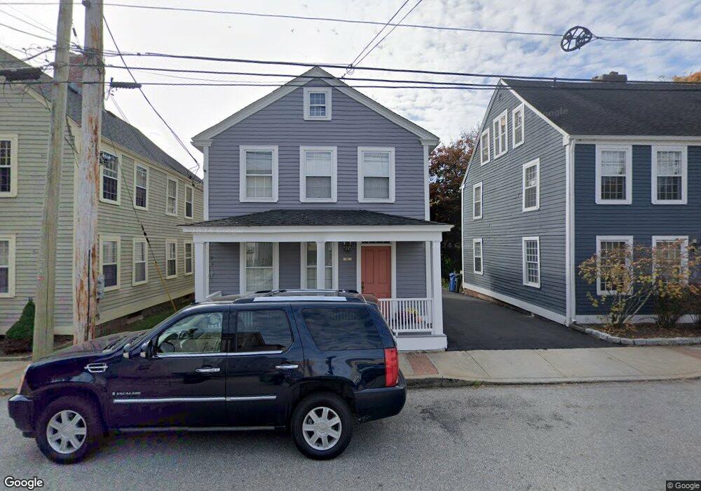
10 Sherman St Unit B Norwich, CT 06360
Central Norwich NeighborhoodEstimated Value: $118,000 - $141,000
1
Bed
1
Bath
693
Sq Ft
$188/Sq Ft
Est. Value
About This Home
This home is located at 10 Sherman St Unit B, Norwich, CT 06360 and is currently estimated at $129,960, approximately $187 per square foot. 10 Sherman St Unit B is a home located in New London County with nearby schools including Samuel Huntington Elementary School, Kelly STEAM Magnet Middle School, and Stoneview Children's University.
Ownership History
Date
Name
Owned For
Owner Type
Purchase Details
Closed on
Aug 10, 2000
Sold by
Powers Dorothy C
Bought by
Reynolds Cheryl M
Current Estimated Value
Home Financials for this Owner
Home Financials are based on the most recent Mortgage that was taken out on this home.
Original Mortgage
$27,100
Interest Rate
8.21%
Mortgage Type
Purchase Money Mortgage
Create a Home Valuation Report for This Property
The Home Valuation Report is an in-depth analysis detailing your home's value as well as a comparison with similar homes in the area
Home Values in the Area
Average Home Value in this Area
Purchase History
| Date | Buyer | Sale Price | Title Company |
|---|---|---|---|
| Reynolds Cheryl M | $33,500 | -- | |
| Reynolds Cheryl M | $33,500 | -- |
Source: Public Records
Mortgage History
| Date | Status | Borrower | Loan Amount |
|---|---|---|---|
| Open | Reynolds Cheryl M | $80,300 | |
| Closed | Reynolds Cheryl M | $58,757 | |
| Closed | Reynolds Cheryl M | $27,100 |
Source: Public Records
Tax History Compared to Growth
Tax History
| Year | Tax Paid | Tax Assessment Tax Assessment Total Assessment is a certain percentage of the fair market value that is determined by local assessors to be the total taxable value of land and additions on the property. | Land | Improvement |
|---|---|---|---|---|
| 2025 | $1,930 | $47,700 | $0 | $47,700 |
| 2024 | $1,822 | $47,700 | $0 | $47,700 |
| 2023 | $2,500 | $51,400 | $0 | $51,400 |
| 2022 | $2,492 | $51,400 | $0 | $51,400 |
| 2021 | $2,500 | $51,400 | $0 | $51,400 |
| 2020 | $2,491 | $51,400 | $0 | $51,400 |
| 2019 | $2,467 | $51,400 | $0 | $51,400 |
| 2018 | $2,550 | $52,700 | $0 | $52,700 |
| 2017 | $2,569 | $52,700 | $0 | $52,700 |
| 2016 | $2,585 | $52,700 | $0 | $52,700 |
| 2015 | $2,533 | $52,700 | $0 | $52,700 |
| 2014 | $2,421 | $52,700 | $0 | $52,700 |
Source: Public Records
Map
Nearby Homes
- 12 Sherman St Unit 12A
- 93 Oneco St
- 21 Fanning Ave
- 136 Washington St
- 40 Maple Grove Ave
- 39 Greene Ave
- 21 Buckingham Ave
- 33 Newton St
- 149 Broadway
- 214 Broadway
- 28 Perkins Ave
- 13 Harland Rd
- 34 Harland Place
- 87 Broad St Unit 89
- 62 Asylum St
- 13 Town St
- 57 Cranberry Pond Rd
- 142 Starr St
- 139 Starr St
- 25 Harland Place
- 10 Sherman St Unit A
- 10A Sherman St Unit A
- 10A Sherman St
- 16 Sherman St Unit 16A
- 16 Sherman St
- 18 Sherman St Unit 18A
- 18 Sherman St Unit A
- 14 Sherman St Unit 14A
- 6 Sherman St Unit 6A
- 14 Sherman St Unit A
- 8 Sherman St Unit A
- 8 Sherman St Unit B
- 8 Sherman St Unit 8A
- 246 Yantic St Unit 246A
- 244A Yantic St Unit A
- 244A Yantic St Unit .
- 244A Yantic St
- 18A Sherman St Unit 18A
- 18A Sherman St Unit A
- 18A Sherman St