10 Shore Dr East Wenatchee, WA 98802
Estimated Value: $1,029,721 - $1,306,000
3
Beds
2
Baths
3,180
Sq Ft
$380/Sq Ft
Est. Value
About This Home
This home is located at 10 Shore Dr, East Wenatchee, WA 98802 and is currently estimated at $1,209,930, approximately $380 per square foot. 10 Shore Dr is a home located in Douglas County with nearby schools including Cascade Elementary School, Sterling Intermediate School, and Eastmont Junior High School.
Ownership History
Date
Name
Owned For
Owner Type
Purchase Details
Closed on
Aug 15, 2005
Sold by
Eastmawn Ronald W and Eastmawn Marsha L
Bought by
Kelso Steven and Kelso Lori
Current Estimated Value
Home Financials for this Owner
Home Financials are based on the most recent Mortgage that was taken out on this home.
Original Mortgage
$540,000
Outstanding Balance
$281,844
Interest Rate
5.56%
Mortgage Type
New Conventional
Estimated Equity
$928,086
Purchase Details
Closed on
Aug 10, 2005
Sold by
Eastmawn Ronald W and Eastmawn Marsha L
Bought by
Kelso Steven and Kelso Lori
Home Financials for this Owner
Home Financials are based on the most recent Mortgage that was taken out on this home.
Original Mortgage
$540,000
Outstanding Balance
$281,844
Interest Rate
5.56%
Mortgage Type
New Conventional
Estimated Equity
$928,086
Create a Home Valuation Report for This Property
The Home Valuation Report is an in-depth analysis detailing your home's value as well as a comparison with similar homes in the area
Home Values in the Area
Average Home Value in this Area
Purchase History
| Date | Buyer | Sale Price | Title Company |
|---|---|---|---|
| Kelso Steven | $21,405 | First American Title Ins Co | |
| Kelso Steven | $21,405 | First American Title Ins Co |
Source: Public Records
Mortgage History
| Date | Status | Borrower | Loan Amount |
|---|---|---|---|
| Open | Kelso Steven | $540,000 | |
| Closed | Kelso Steven | $540,000 |
Source: Public Records
Tax History Compared to Growth
Tax History
| Year | Tax Paid | Tax Assessment Tax Assessment Total Assessment is a certain percentage of the fair market value that is determined by local assessors to be the total taxable value of land and additions on the property. | Land | Improvement |
|---|---|---|---|---|
| 2025 | $6,074 | $805,500 | $448,000 | $357,500 |
| 2024 | $6,074 | $815,500 | $448,000 | $367,500 |
| 2023 | $6,655 | $751,500 | $384,000 | $367,500 |
| 2022 | $7,156 | $717,900 | $448,000 | $269,900 |
| 2021 | $6,274 | $717,900 | $448,000 | $269,900 |
| 2020 | $6,224 | $577,900 | $308,000 | $269,900 |
| 2018 | $6,191 | $578,200 | $308,000 | $270,200 |
| 2017 | $5,607 | $578,200 | $308,000 | $270,200 |
| 2016 | $6,033 | $565,300 | $308,000 | $257,300 |
| 2015 | $4,822 | $565,300 | $308,000 | $257,300 |
| 2014 | -- | $419,000 | $220,000 | $199,000 |
| 2013 | -- | $419,000 | $220,000 | $199,000 |
Source: Public Records
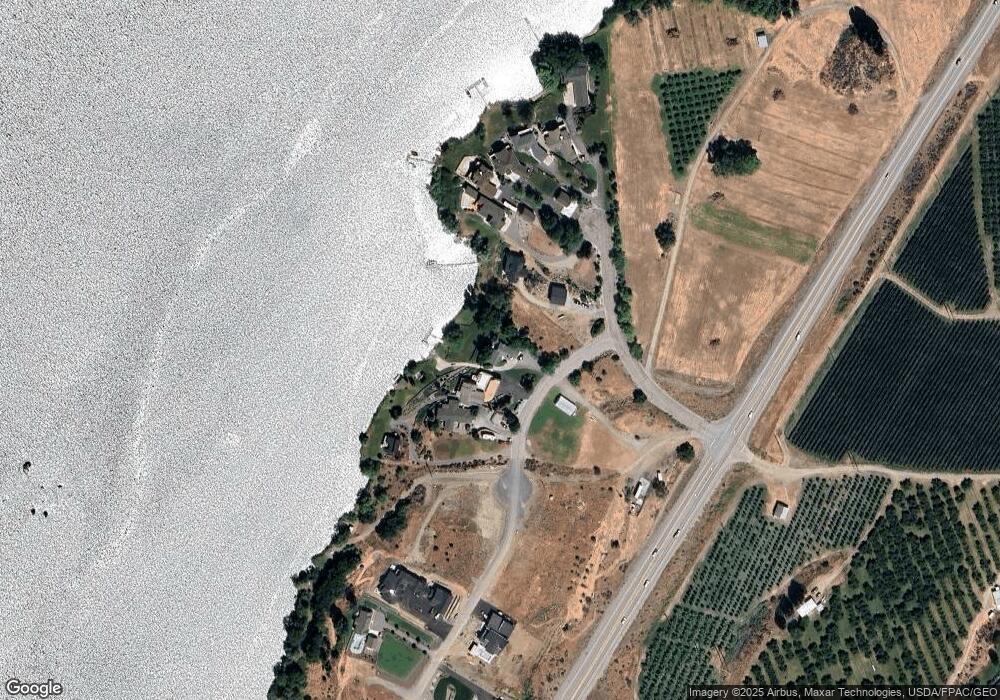
Map
Nearby Homes
- 13512 Us Highway 2 Unit 1
- 13512 Us Highway 2 Unit 2
- 13512 Us Highway 2 Unit p. 4
- 13512 Us Highway 2 Unit p. 3
- 13512 Us Highway 2 Unit p.6
- 6 XX Chipmunk Trail
- 0 XX Melvin Rd
- 103 Fir Rd
- 16161 Badger Mountain Rd
- 215 Chipmunk Trail
- 202 Chipmunk Trail
- 202 Falcon Ridge Rd
- 117 Hummingbird Rd
- 109 Wild Turkey Rd
- 114 Falcon Ridge Rd
- 66 Coyote Ln
- 0 Muledeer Rd Unit NWM2403987
- 2 XX Redfield Rd
- 1 XX Redfield Rd
- 25 Corral Ln
- 20 Shore Dr
- 0 Shore Dr Unit 10 1717302
- 0 Shore Dr Unit 9 1717299
- 0 Shore Dr Unit 7 1717287
- 0 Shore Dr Unit 2 1717270
- 0 Shore Dr Unit 8 1717291
- 0 Shore Dr Unit 3 1717275
- 0 Shore Dr Unit 1
- 30 Shore Dr
- 7 Willwood Dr
- 9 Willwood Dr
- 40 Shore Dr
- 11 Willwood Dr
- 13 Willwood Dr
- 17 Willwood Dr
- 13609 A Sr 2 Unit A
- 55 Shore Dr
- 15 Willwood Dr
- 62 Shore Dr
- 19 Willwood Dr