10 Shore Dr Harwich, MA 02645
Northwest Harwich NeighborhoodEstimated Value: $807,000 - $1,529,000
3
Beds
2
Baths
1,910
Sq Ft
$638/Sq Ft
Est. Value
About This Home
This home is located at 10 Shore Dr, Harwich, MA 02645 and is currently estimated at $1,218,820, approximately $638 per square foot. 10 Shore Dr is a home located in Barnstable County with nearby schools including Harwich Elementary School, Chatham Elementary School, and Monomoy Regional Middle School.
Ownership History
Date
Name
Owned For
Owner Type
Purchase Details
Closed on
Jun 29, 1992
Sold by
Schaefer Ellana M
Bought by
Ronalter Peterj
Current Estimated Value
Home Financials for this Owner
Home Financials are based on the most recent Mortgage that was taken out on this home.
Original Mortgage
$110,000
Interest Rate
8.57%
Mortgage Type
Purchase Money Mortgage
Create a Home Valuation Report for This Property
The Home Valuation Report is an in-depth analysis detailing your home's value as well as a comparison with similar homes in the area
Home Values in the Area
Average Home Value in this Area
Purchase History
| Date | Buyer | Sale Price | Title Company |
|---|---|---|---|
| Ronalter Peterj | $137,500 | -- |
Source: Public Records
Mortgage History
| Date | Status | Borrower | Loan Amount |
|---|---|---|---|
| Closed | Ronalter Peterj | $110,000 |
Source: Public Records
Tax History Compared to Growth
Tax History
| Year | Tax Paid | Tax Assessment Tax Assessment Total Assessment is a certain percentage of the fair market value that is determined by local assessors to be the total taxable value of land and additions on the property. | Land | Improvement |
|---|---|---|---|---|
| 2025 | $7,507 | $1,270,300 | $694,500 | $575,800 |
| 2024 | $8,052 | $1,335,400 | $786,200 | $549,200 |
| 2023 | $8,404 | $1,265,700 | $794,200 | $471,500 |
| 2022 | $6,638 | $818,500 | $455,800 | $362,700 |
| 2021 | $6,477 | $753,100 | $414,400 | $338,700 |
| 2020 | $6,447 | $738,500 | $408,000 | $330,500 |
| 2019 | $6,170 | $711,600 | $388,600 | $323,000 |
| 2018 | $6,001 | $662,100 | $353,200 | $308,900 |
| 2017 | $5,606 | $625,000 | $321,900 | $303,100 |
| 2016 | $4,070 | $448,700 | $321,900 | $126,800 |
| 2015 | $3,611 | $402,600 | $315,600 | $87,000 |
| 2014 | $3,426 | $390,700 | $306,100 | $84,600 |
Source: Public Records
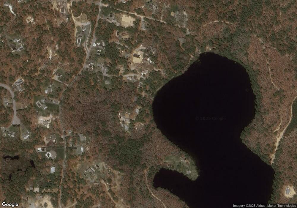
Map
Nearby Homes
- 13 Osborne Rd
- 28 Patricia Ln
- 231 Roue 28 Unit 20
- 7 Dunes Rd
- 231 Route 28 Unit 20
- 231 Route 28 Unit 8
- 231 Route 28 Unit 15
- 16 Mirasol Ln
- 24 Chase St
- 24 Chase St
- 188 Massachusetts 28
- 19 Riverway
- 264 Massachusetts 28
- 19 Riverway
- 161 Massachusetts 28 Unit 7
- 292 Route 28 Unit 7
- 292 Massachusetts 28 Unit 1
- 292 Massachusetts 28 Unit 7
- 126 Massachusetts 28
- 6 Bayberry Ln
- 30 Grey Neck Rd
- 40 Grey Neck Rd
- 6 Mother Goose Ln
- 14 Mother Goose Ln
- 35 Grey Neck Rd
- 18 Mother Goose Ln
- 39 Grey Neck Rd
- 31 Grey Neck Rd
- 44 Grey Neck Rd
- 28 Grey Neck Rd Unit 2
- 28 Grey Neck Rd Unit 1
- 4 Mother Goose Ln
- 29 Green Needle Ln
- 25 Green Needle Ln
- 33 Green Needle Ln
- 29 Shore Road Extension
- 27 Grey Neck Rd
- 48 Grey Neck Rd
- 47 Grey Neck Rd
- 23 Shore Dr