10 Short St East Boothbay, ME 04544
Estimated Value: $336,181 - $486,000
1
Bed
1
Bath
896
Sq Ft
$482/Sq Ft
Est. Value
About This Home
This home is located at 10 Short St, East Boothbay, ME 04544 and is currently estimated at $431,545, approximately $481 per square foot. 10 Short St is a home located in Lincoln County with nearby schools including Boothbay Region Elementary School and Boothbay Region High School.
Ownership History
Date
Name
Owned For
Owner Type
Purchase Details
Closed on
Jun 5, 2015
Sold by
Smith Anne F
Bought by
Smith Geoffrey C
Current Estimated Value
Home Financials for this Owner
Home Financials are based on the most recent Mortgage that was taken out on this home.
Original Mortgage
$100,000
Interest Rate
3.62%
Mortgage Type
New Conventional
Purchase Details
Closed on
Mar 10, 2008
Sold by
Smith Ann F
Bought by
Smith Geoffrey and Smith Ann F
Create a Home Valuation Report for This Property
The Home Valuation Report is an in-depth analysis detailing your home's value as well as a comparison with similar homes in the area
Home Values in the Area
Average Home Value in this Area
Purchase History
| Date | Buyer | Sale Price | Title Company |
|---|---|---|---|
| Smith Geoffrey C | -- | -- | |
| Smith Geoffrey | -- | -- |
Source: Public Records
Mortgage History
| Date | Status | Borrower | Loan Amount |
|---|---|---|---|
| Closed | Smith Geoffrey C | $100,000 |
Source: Public Records
Tax History Compared to Growth
Tax History
| Year | Tax Paid | Tax Assessment Tax Assessment Total Assessment is a certain percentage of the fair market value that is determined by local assessors to be the total taxable value of land and additions on the property. | Land | Improvement |
|---|---|---|---|---|
| 2024 | $1,996 | $175,861 | $57,830 | $118,031 |
| 2023 | $1,767 | $175,861 | $57,830 | $118,031 |
| 2022 | $1,636 | $175,861 | $57,830 | $118,031 |
| 2021 | $1,679 | $175,861 | $57,830 | $118,031 |
| 2020 | $1,688 | $175,861 | $57,830 | $118,031 |
| 2019 | $1,662 | $175,861 | $57,830 | $118,031 |
| 2018 | $1,636 | $175,861 | $57,830 | $118,031 |
| 2017 | $1,705 | $185,300 | $46,700 | $138,600 |
| 2016 | $1,631 | $185,300 | $46,700 | $138,600 |
| 2015 | $1,621 | $185,300 | $46,700 | $138,600 |
| 2014 | -- | $185,300 | $46,700 | $138,600 |
Source: Public Records
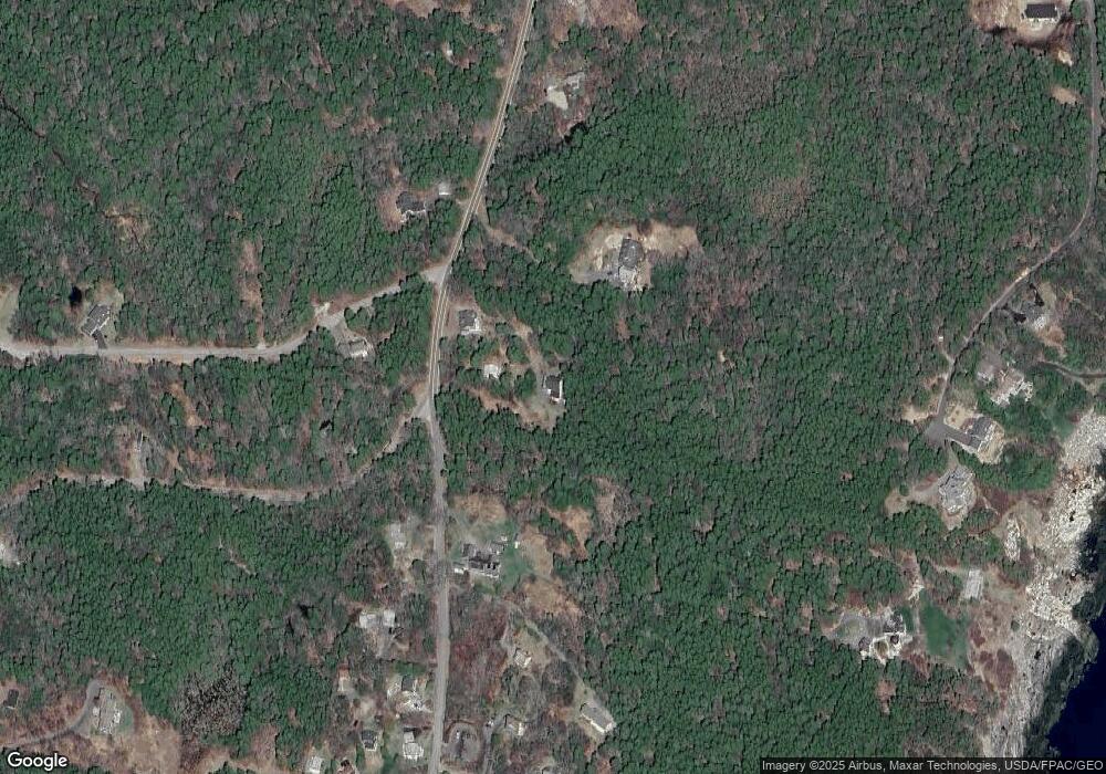
Map
Nearby Homes
- 61 Van Horn Rd
- 9 Grove St
- 44 King Phillips Trail
- Lot 12 Linekin Rd
- 24 Blowhorn Rd
- 20 Linekin Rd Unit 8A
- 545 Ocean Point Rd Unit 15-C
- 45 Sunset Rd
- 12 Westwind Dr
- 58 Roads End Rd
- 133 Atlantic Ave Unit 81B
- 133 Atlantic Ave Unit 71B
- 31 Bay St
- 74 & 76 Bay St
- 38 Atlantic Ave
- 6 Abenaki Rd
- 127 Appalachee Rd
- 11 Atlantic Ave
- 113 Commercial St
- 53 Commercial St
- 5 Short St
- Lot 6p/o Cunner Rock Rd
- 904 Ocean Point Rd
- 894 Ocean Point Rd
- 894 Ocean Point Rd
- 0 Cunner Rock Rd Unit 859651
- 0 Cunner Rock Rd Unit 783866
- 0 Cunner Rock Rd Unit 1055648
- 0 Middle Rd Unit 1552594
- 0 Middle Rd Unit 895605
- 0 Middle Rd Unit 1054909
- 0 Middle Rd Unit 1083048
- 2 Ocean Ridge Dr Unit 1C
- 12 Ocean Ridge Dr
- 920 Ocean Point Rd
- 893 Ocean Point Rd
- 925 Ocean Point Rd
- 929 Ocean Point Rd
- 47 Firth Dr
- 46 Firth Dr