10 Signal Mountain Cir SE Cartersville, GA 30121
Estimated Value: $1,889,000 - $1,977,000
4
Beds
4
Baths
3,900
Sq Ft
$498/Sq Ft
Est. Value
About This Home
This home is located at 10 Signal Mountain Cir SE, Cartersville, GA 30121 and is currently estimated at $1,942,974, approximately $498 per square foot. 10 Signal Mountain Cir SE is a home located in Bartow County with nearby schools including Emerson Elementary School, Red Top Middle School, and Woodland High School.
Ownership History
Date
Name
Owned For
Owner Type
Purchase Details
Closed on
Oct 11, 2024
Sold by
Hartzog Cindy
Bought by
Gevaert Nicolas P and Saey Silvia
Current Estimated Value
Home Financials for this Owner
Home Financials are based on the most recent Mortgage that was taken out on this home.
Original Mortgage
$1,400,000
Outstanding Balance
$1,384,859
Interest Rate
6.2%
Mortgage Type
New Conventional
Estimated Equity
$558,115
Purchase Details
Closed on
Nov 20, 2017
Sold by
Good Shepherd Leasing Corp
Bought by
Hartzog Rhett and Hartzog Cindy
Purchase Details
Closed on
Dec 29, 2005
Sold by
Dbd Enterprises Inc
Bought by
Good Shepherd Leasing Corp
Purchase Details
Closed on
Aug 31, 2005
Sold by
Dbd Enterprises Inc
Bought by
Good Shepherd Leasing Corp
Create a Home Valuation Report for This Property
The Home Valuation Report is an in-depth analysis detailing your home's value as well as a comparison with similar homes in the area
Home Values in the Area
Average Home Value in this Area
Purchase History
| Date | Buyer | Sale Price | Title Company |
|---|---|---|---|
| Gevaert Nicolas P | $2,000,000 | -- | |
| Hartzog Rhett | $247,000 | -- | |
| Good Shepherd Leasing Corp | $495,000 | -- | |
| Good Shepherd Leasing Corp | $495,000 | -- |
Source: Public Records
Mortgage History
| Date | Status | Borrower | Loan Amount |
|---|---|---|---|
| Open | Gevaert Nicolas P | $1,400,000 |
Source: Public Records
Tax History Compared to Growth
Tax History
| Year | Tax Paid | Tax Assessment Tax Assessment Total Assessment is a certain percentage of the fair market value that is determined by local assessors to be the total taxable value of land and additions on the property. | Land | Improvement |
|---|---|---|---|---|
| 2024 | $12,237 | $430,624 | $120,000 | $310,624 |
| 2023 | $12,237 | $429,420 | $120,000 | $309,420 |
| 2022 | $10,740 | $354,970 | $120,000 | $234,970 |
| 2021 | $9,856 | $313,723 | $120,000 | $193,723 |
| 2020 | $8,867 | $291,288 | $102,000 | $189,288 |
| 2019 | $2,779 | $90,000 | $90,000 | $0 |
| 2018 | $2,792 | $90,000 | $90,000 | $0 |
| 2017 | $935 | $30,000 | $30,000 | $0 |
| 2016 | $941 | $30,000 | $30,000 | $0 |
| 2015 | $944 | $30,000 | $30,000 | $0 |
| 2014 | $974 | $30,000 | $30,000 | $0 |
| 2013 | -- | $30,000 | $30,000 | $0 |
Source: Public Records
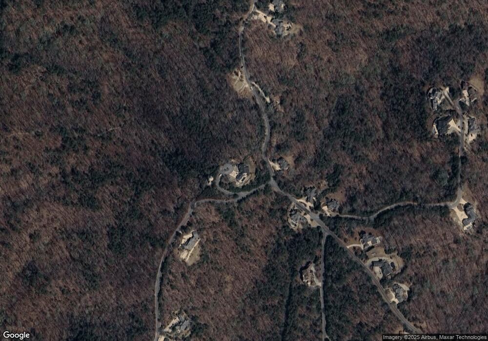
Map
Nearby Homes
- 12 Signal Mtn Cir SE
- 49 Waterside Dr SE
- 16 Ridgewater Dr SE
- 16 Ridgewater
- 21 Edgewater Dr SE
- 52 Waterside Dr SE
- 12 Horizon Trail SE
- 00 Red Top Mountain Rd SE
- 16 Somerset Ln
- 16 Cambridge Way
- 11 York Trace
- 0 Gaston Westbrook Ave Unit 7481139
- 1117 Georgia 293
- 508 Crown Dr
- 510 Crown Dr
- 25 Sunset Ridge SE
- 497 Crown Dr
- 491 Crown Dr
- 489 Crown Dr
- 481 Crown Dr
- 10 Signal Mtn Cir SE
- 10 Signal Mtn Dr SE
- 0 Signal Mountain Dr SE Unit 72 7404534
- 0 Signal Mountain Dr SE Unit 8996125
- 0 Signal Mountain Dr SE Unit 8122697
- 0 Signal Mountain Dr SE Unit 8837673
- 0 Signal Mountain Dr SE Unit 8056579
- 0 Signal Mountain Dr SE Unit 8122067
- 0 Signal Mountain Dr SE Unit 8269481
- 45 Waterside Dr SE
- 46 Waterside Dr SE
- 46 Waterside Dr SE
- 41 Waterside Dr SE
- 39 Waterside Dr SE
- 13 Signal Mtn Dr SE
- 13 Signal Mtn Dr SE
- 14 Signal Mtn Dr SE Unit 78
- 14 Signal Mtn Dr SE
- 13 Edgewater Dr SE Unit 23
- 13 Edgewater Dr SE