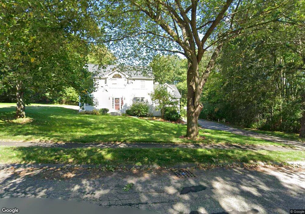
10 Sky Top Ln Dunstable, MA 01827
Estimated Value: $798,096 - $1,034,000
4
Beds
3
Baths
2,552
Sq Ft
$364/Sq Ft
Est. Value
About This Home
This home is located at 10 Sky Top Ln, Dunstable, MA 01827 and is currently estimated at $928,274, approximately $363 per square foot. 10 Sky Top Ln is a home located in Middlesex County with nearby schools including Groton Dunstable Regional High School and 2nd Nature Academy.
Ownership History
Date
Name
Owned For
Owner Type
Purchase Details
Closed on
Jun 1, 2001
Sold by
Pascua Ernest S and Pascua Pamela A
Bought by
Mayer Ronald S and Mayer Maureen P
Current Estimated Value
Home Financials for this Owner
Home Financials are based on the most recent Mortgage that was taken out on this home.
Original Mortgage
$135,000
Outstanding Balance
$51,236
Interest Rate
7.09%
Mortgage Type
Purchase Money Mortgage
Estimated Equity
$877,038
Purchase Details
Closed on
Apr 12, 1999
Sold by
Trinity Group Realty
Bought by
Pascua Ernest S and Pascua Pamela A
Home Financials for this Owner
Home Financials are based on the most recent Mortgage that was taken out on this home.
Original Mortgage
$295,450
Interest Rate
6.83%
Mortgage Type
Purchase Money Mortgage
Create a Home Valuation Report for This Property
The Home Valuation Report is an in-depth analysis detailing your home's value as well as a comparison with similar homes in the area
Home Values in the Area
Average Home Value in this Area
Purchase History
| Date | Buyer | Sale Price | Title Company |
|---|---|---|---|
| Mayer Ronald S | $426,000 | -- | |
| Pascua Ernest S | $311,000 | -- |
Source: Public Records
Mortgage History
| Date | Status | Borrower | Loan Amount |
|---|---|---|---|
| Open | Pascua Ernest S | $135,000 | |
| Previous Owner | Pascua Ernest S | $295,450 | |
| Previous Owner | Pascua Ernest S | $200,000 |
Source: Public Records
Tax History Compared to Growth
Tax History
| Year | Tax Paid | Tax Assessment Tax Assessment Total Assessment is a certain percentage of the fair market value that is determined by local assessors to be the total taxable value of land and additions on the property. | Land | Improvement |
|---|---|---|---|---|
| 2025 | $10,025 | $729,100 | $224,200 | $504,900 |
| 2024 | $9,708 | $695,400 | $216,800 | $478,600 |
| 2023 | $9,624 | $642,900 | $216,800 | $426,100 |
| 2022 | $8,898 | $583,500 | $216,800 | $366,700 |
| 2021 | $4,412 | $526,200 | $191,900 | $334,300 |
| 2020 | $8,484 | $503,800 | $183,700 | $320,100 |
| 2019 | $8,264 | $484,400 | $183,700 | $300,700 |
| 2018 | $11,279 | $459,300 | $181,600 | $277,700 |
| 2017 | $7,751 | $455,400 | $181,600 | $273,800 |
| 2016 | $7,138 | $431,300 | $157,100 | $274,200 |
| 2015 | $7,291 | $435,800 | $153,900 | $281,900 |
| 2014 | $6,873 | $435,800 | $153,900 | $281,900 |
Source: Public Records
Map
Nearby Homes
- 46 Oak St
- 5 Doucet Ave
- 1 Doucet Ave
- 3 Doucet Ave Unit The Cub
- 67 Wilderness Dr Unit The Cub
- 63 Wilderness Dr Unit Derby 2
- 46 Wilderness Dr
- 7 Wilderness Dr
- 2 Wilderness Dr
- 3 Wilderness Dr
- 79 Wilderness Dr
- 1 Wilderness Dr
- 6 Wilderness Dr
- 57 Wilderness Dr
- 61 Wilderness Dr
- 59 Wilderness Dr
- 50 Wilderness Dr
- 58 Wilderness Dr
- 65 Wilderness Dr
- 4 Hikers Ln