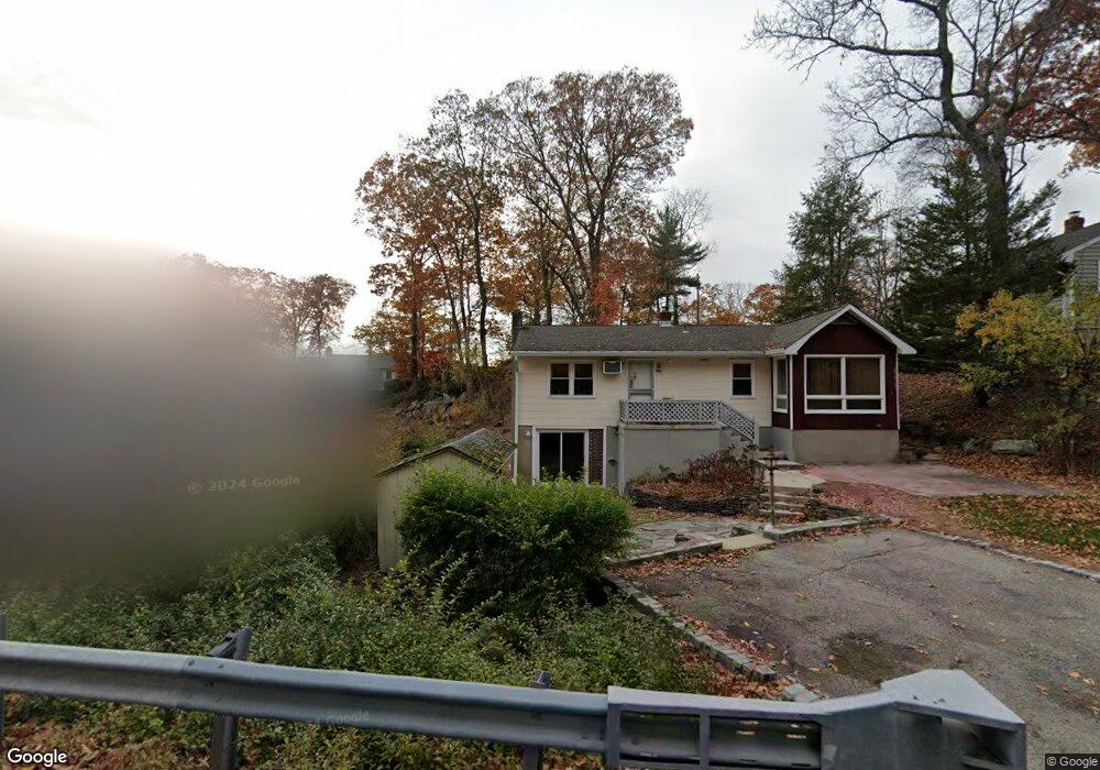
10 Skytop Rd Andover, NJ 07821
Estimated Value: $579,000 - $687,000
Studio
--
Bath
1,431
Sq Ft
$452/Sq Ft
Est. Value
About This Home
This home is located at 10 Skytop Rd, Andover, NJ 07821 and is currently estimated at $646,907, approximately $452 per square foot. 10 Skytop Rd is a home located in Sussex County with nearby schools including Hudson Maxim Elementary School, Durban Avenue Elementary School, and Tulsa Trail Elementary School.
Ownership History
Date
Name
Owned For
Owner Type
Purchase Details
Closed on
Jan 28, 2022
Sold by
Kirsten Briggs
Bought by
Maresca Steven G
Current Estimated Value
Purchase Details
Closed on
Jun 13, 2016
Sold by
Gurzankovic Serif and Gurzankovic Inga
Bought by
Wells Fargo Bank Na
Purchase Details
Closed on
Jun 28, 1996
Sold by
Voorhees James J
Bought by
Henderson Valerie A and Voorhees Valerie A
Create a Home Valuation Report for This Property
The Home Valuation Report is an in-depth analysis detailing your home's value as well as a comparison with similar homes in the area
Home Values in the Area
Average Home Value in this Area
Purchase History
| Date | Buyer | Sale Price | Title Company |
|---|---|---|---|
| Maresca Steven G | $300,000 | Old Republic Title | |
| Wells Fargo Bank Na | -- | None Available | |
| Henderson Valerie A | -- | -- |
Source: Public Records
Tax History
| Year | Tax Paid | Tax Assessment Tax Assessment Total Assessment is a certain percentage of the fair market value that is determined by local assessors to be the total taxable value of land and additions on the property. | Land | Improvement |
|---|---|---|---|---|
| 2025 | $13,690 | $656,600 | $414,200 | $242,400 |
| 2024 | $14,787 | $656,600 | $414,200 | $242,400 |
Source: Public Records
Map
Nearby Homes
- 543 Lakeside Ave
- 3 Bear Pond Trail
- 4 Bear Pond Trail
- 208 Maxim Dr
- 00 Forest Rd
- 47 Indian Trail
- 7 Raccoon Island Rd
- 14 Marshall Trail
- 34 Isabelle Ave
- 19 Sutton Rd
- 11 Hillside Ave
- 12 Hobart Trail
- 342 Dupont Ave
- 15 Pebble Beach Rd
- 34 Bayview Ave
- 7 Wildwood Shores Dr
- 11 Adelphi Trail
- 11B Wildwood Shores Dr
- 27 Schwarz Blvd
- 145 Schwarz Blvd
Your Personal Tour Guide
Ask me questions while you tour the home.