10 Smith Rd Pottstown, PA 19464
Limerick Township NeighborhoodEstimated Value: $671,000 - $1,146,786
5
Beds
4
Baths
4,292
Sq Ft
$198/Sq Ft
Est. Value
About This Home
This home is located at 10 Smith Rd, Pottstown, PA 19464 and is currently estimated at $849,947, approximately $198 per square foot. 10 Smith Rd is a home located in Montgomery County with nearby schools including Evans Elementary School, Spring-Ford Middle School 8th Grade Center, and Spring-Ford Middle School 5/6/7 Grade Center.
Ownership History
Date
Name
Owned For
Owner Type
Purchase Details
Closed on
Apr 30, 2010
Sold by
Greenway Development Lp
Bought by
Ely Daniel B
Current Estimated Value
Purchase Details
Closed on
Mar 13, 2006
Sold by
Ely Daniel B
Bought by
Greenway Dev Lp
Purchase Details
Closed on
Nov 23, 2001
Sold by
Ely Daniel B and Ely Samuel L
Bought by
Ely Daniel B
Purchase Details
Closed on
Dec 21, 1998
Sold by
Ely Daniel B and Ely Barbara Anne
Bought by
Ely Samuel L and Ely Daniel B
Create a Home Valuation Report for This Property
The Home Valuation Report is an in-depth analysis detailing your home's value as well as a comparison with similar homes in the area
Home Values in the Area
Average Home Value in this Area
Purchase History
| Date | Buyer | Sale Price | Title Company |
|---|---|---|---|
| Ely Daniel B | -- | None Available | |
| Greenway Dev Lp | $10,000 | None Available | |
| Ely Daniel B | -- | -- | |
| Ely Samuel L | -- | -- |
Source: Public Records
Tax History Compared to Growth
Tax History
| Year | Tax Paid | Tax Assessment Tax Assessment Total Assessment is a certain percentage of the fair market value that is determined by local assessors to be the total taxable value of land and additions on the property. | Land | Improvement |
|---|---|---|---|---|
| 2025 | $15,467 | $400,000 | $147,030 | $252,970 |
| 2024 | $15,467 | $400,000 | $147,030 | $252,970 |
| 2023 | $14,756 | $400,000 | $147,030 | $252,970 |
| 2022 | $14,258 | $400,000 | $147,030 | $252,970 |
| 2021 | $13,921 | $400,000 | $147,030 | $252,970 |
| 2020 | $13,568 | $400,000 | $147,030 | $252,970 |
| 2019 | $13,321 | $400,000 | $147,030 | $252,970 |
| 2018 | $10,543 | $400,000 | $147,030 | $252,970 |
| 2017 | $13,074 | $400,000 | $147,030 | $252,970 |
| 2016 | $12,919 | $400,000 | $147,030 | $252,970 |
| 2015 | $12,361 | $400,000 | $147,030 | $252,970 |
| 2014 | $12,361 | $400,000 | $147,030 | $252,970 |
Source: Public Records
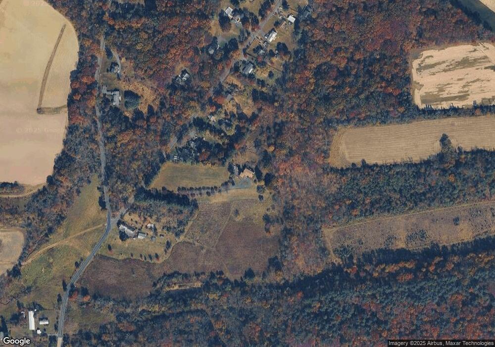
Map
Nearby Homes
- 172 Oak Creek Dr
- 0 Steinmetz Rd
- 94 Presidential Dr
- 300 Deer Run Ct
- 0 Industrial Pkwy Unit PAMC2142810
- 160 Deer Run Ct
- 180 Deer Run Ct
- 790 Doe Ct
- 90 Kurtz Rd
- 59 Houck Rd
- 20 Bunker Way
- 601 Village Way
- 609 Village Way
- 303 Carver Ln
- 1687 Rupert Rd
- 1629 Rupert Rd
- 405 Village Way
- 107 Carver Ln
- 1180 Rupert Rd
- 169 Larrabee Way