10 Smoke Rise Rd Kinnelon, NJ 07405
Estimated Value: $1,001,000 - $1,361,000
--
Bed
--
Bath
3,969
Sq Ft
$307/Sq Ft
Est. Value
About This Home
This home is located at 10 Smoke Rise Rd, Kinnelon, NJ 07405 and is currently estimated at $1,220,270, approximately $307 per square foot. 10 Smoke Rise Rd is a home located in Morris County with nearby schools including Kiel School, Stonybrook School, and Pearl R. Miller Middle School.
Ownership History
Date
Name
Owned For
Owner Type
Purchase Details
Closed on
Dec 18, 2019
Sold by
Commisso Weinand Italia and Weinand George Weinand
Bought by
Commisso Weinand Italia and Weinand George
Current Estimated Value
Home Financials for this Owner
Home Financials are based on the most recent Mortgage that was taken out on this home.
Interest Rate
3.73%
Purchase Details
Closed on
Nov 23, 1998
Sold by
Terjesen James H
Bought by
Weinand George and Commisso Weinand Italia
Create a Home Valuation Report for This Property
The Home Valuation Report is an in-depth analysis detailing your home's value as well as a comparison with similar homes in the area
Home Values in the Area
Average Home Value in this Area
Purchase History
| Date | Buyer | Sale Price | Title Company |
|---|---|---|---|
| Commisso Weinand Italia | -- | -- | |
| Weinand George | $170,000 | -- |
Source: Public Records
Mortgage History
| Date | Status | Borrower | Loan Amount |
|---|---|---|---|
| Closed | Commisso Weinand Italia | -- |
Source: Public Records
Tax History Compared to Growth
Tax History
| Year | Tax Paid | Tax Assessment Tax Assessment Total Assessment is a certain percentage of the fair market value that is determined by local assessors to be the total taxable value of land and additions on the property. | Land | Improvement |
|---|---|---|---|---|
| 2025 | $27,035 | $933,200 | $240,700 | $692,500 |
| 2024 | $26,475 | $933,200 | $240,700 | $692,500 |
| 2023 | $26,475 | $933,200 | $240,700 | $692,500 |
| 2022 | $25,168 | $933,200 | $240,700 | $692,500 |
| 2021 | $25,168 | $933,200 | $240,700 | $692,500 |
| 2020 | $24,702 | $933,200 | $240,700 | $692,500 |
| 2019 | $24,133 | $933,200 | $240,700 | $692,500 |
| 2018 | $23,638 | $933,200 | $240,700 | $692,500 |
| 2017 | $23,237 | $933,200 | $240,700 | $692,500 |
| 2016 | $22,601 | $695,200 | $200,700 | $494,500 |
| 2015 | $21,704 | $695,200 | $200,700 | $494,500 |
| 2014 | $21,336 | $695,200 | $200,700 | $494,500 |
Source: Public Records
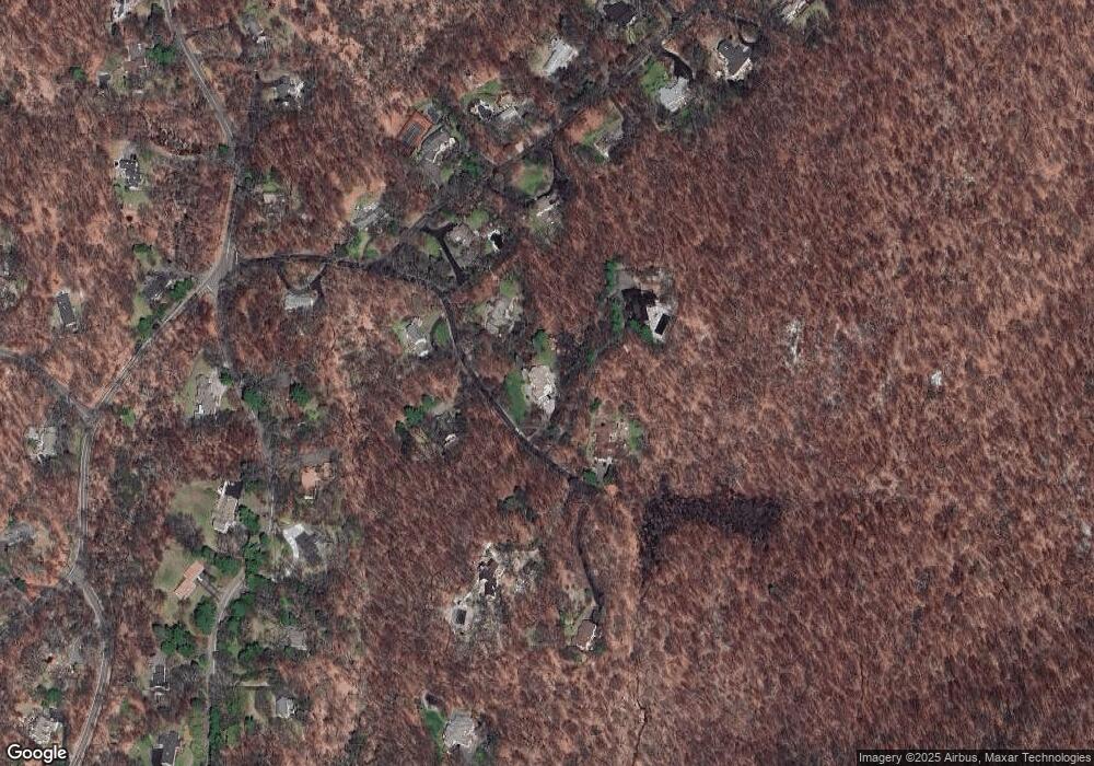
Map
Nearby Homes
- 67 Fox Ledge Rd
- 77 Old Cow Pasture Ln
- 2 Briarcliff Terrace
- 8 Hornbeam Ln
- 8 Briarcliff Terrace
- 768 W Shore Dr
- 6 Brookvale Terrace
- 11-15 Beechwood Ln
- 39 Kinnelon Rd
- 232 Kinnelon Rd
- 1858 State Rt 23
- 1858 New Jersey 23
- 21 Derrygally Cir
- 15 Longview Rd
- 11 Wilshire Terrace
- 54 Wilshire Terrace
- 36 Tower Hill Ln
- 18 Upper High Crest Dr
- 8 Falcon Run
- 738 Ridge Rd
- 8 Smoke Rise Rd
- 14 Smoke Rise Rd
- 5 Smoke Rise Rd
- 3 Smoke Rise Rd
- 12 Smoke Rise Rd
- 6 Smoke Rise Rd
- 50 Cherry Tree Ln
- 7 Smoke Rise Rd
- 248 Long Meadow Rd
- 250 Long Meadow Rd
- 48 Cherry Tree Ln
- 55 Cherry Tree Ln
- 53 Cherry Tree Ln
- 11 Smoke Rise Rd
- 51 Cherry Tree Ln
- 1 Smoke Rise Rd
- 252 Long Meadow Rd
- 42 Gravel Hill Rd
- 46 Cherry Tree Ln
- 249 Long Meadow Rd