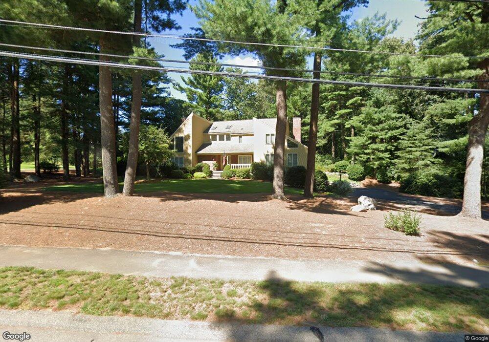
10 Sparrow Rd Norfolk, MA 02056
Estimated Value: $926,000 - $1,134,000
4
Beds
3
Baths
3,630
Sq Ft
$288/Sq Ft
Est. Value
About This Home
This home is located at 10 Sparrow Rd, Norfolk, MA 02056 and is currently estimated at $1,046,322, approximately $288 per square foot. 10 Sparrow Rd is a home located in Norfolk County with nearby schools including H. Olive Day School, Freeman-Kennedy School, and Clifford Academy.
Ownership History
Date
Name
Owned For
Owner Type
Purchase Details
Closed on
Jun 20, 2012
Sold by
Johnston Daniel J
Bought by
Johnston Daniel J and Johnston Linda C
Current Estimated Value
Purchase Details
Closed on
Apr 24, 2012
Sold by
Johnston Ryan S
Bought by
Johnston Daniel J
Purchase Details
Closed on
Jan 4, 2011
Sold by
Johnston Linda C
Bought by
Johnston Linda C and Johnston Daniel J
Purchase Details
Closed on
Jun 14, 1984
Bought by
Linda C Johnston T
Create a Home Valuation Report for This Property
The Home Valuation Report is an in-depth analysis detailing your home's value as well as a comparison with similar homes in the area
Home Values in the Area
Average Home Value in this Area
Purchase History
| Date | Buyer | Sale Price | Title Company |
|---|---|---|---|
| Johnston Daniel J | -- | -- | |
| Johnston Daniel J | -- | -- | |
| Johnston Linda C | -- | -- | |
| Johnston Daniel J | -- | -- | |
| Johnston Linda C | -- | -- | |
| Linda C Johnston T | $235,000 | -- |
Source: Public Records
Mortgage History
| Date | Status | Borrower | Loan Amount |
|---|---|---|---|
| Previous Owner | Linda C Johnston T | $196,750 | |
| Previous Owner | Linda C Johnston T | $185,000 | |
| Previous Owner | Linda C Johnston T | $84,000 | |
| Previous Owner | Linda C Johnston T | $187,600 |
Source: Public Records
Tax History
| Year | Tax Paid | Tax Assessment Tax Assessment Total Assessment is a certain percentage of the fair market value that is determined by local assessors to be the total taxable value of land and additions on the property. | Land | Improvement |
|---|---|---|---|---|
| 2025 | $16,417 | $1,028,000 | $190,300 | $837,700 |
| 2024 | $15,659 | $1,005,700 | $190,300 | $815,400 |
| 2023 | $13,850 | $844,000 | $190,300 | $653,700 |
| 2022 | $12,689 | $697,200 | $178,600 | $518,600 |
| 2021 | $11,906 | $661,800 | $184,600 | $477,200 |
| 2020 | $12,438 | $667,300 | $185,200 | $482,100 |
| 2019 | $12,205 | $667,300 | $185,200 | $482,100 |
| 2018 | $10,984 | $589,900 | $194,300 | $395,600 |
| 2017 | $10,835 | $594,700 | $194,300 | $400,400 |
| 2016 | $10,206 | $564,500 | $199,400 | $365,100 |
| 2015 | $9,872 | $559,000 | $189,700 | $369,300 |
| 2014 | $8,905 | $510,900 | $189,700 | $321,200 |
Source: Public Records
Map
Nearby Homes
- 23 Fredrickson Rd
- 8 Ridgefield Rd
- 45 Joshua Rd
- 246 Forest Grove Ave
- 7 Keeney Pond Rd
- 0 Toils End Rd
- 0 W Birch Rd
- 19 Waites Crossing
- 13 Waites Crossing
- 16 Keeney Pond Rd
- 292 Main St
- 50 Reed Fulton Ave Unit Lot 61
- 45 Meetinghouse Rd Unit 45
- 14 Waites Crossing
- 9 Elliot Mills Unit 5
- 8 Elliot Mills Unit 30
- 5 Elliot Mills Unit 3
- 7 Elliot Mills Unit 4
- 10 Elliot Mills Unit 29
- 3 Elliot Mills Unit 2
Your Personal Tour Guide
Ask me questions while you tour the home.