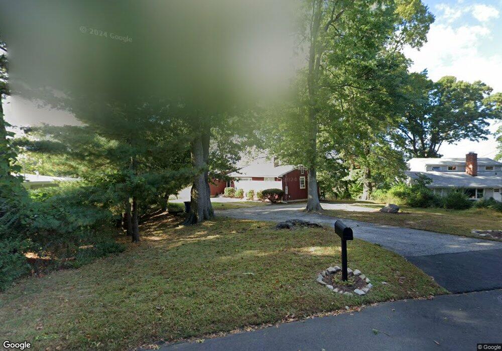
10 Splitrock Rd Norwalk, CT 06854
South Norwalk NeighborhoodEstimated Value: $642,000 - $832,976
4
Beds
2
Baths
1,468
Sq Ft
$525/Sq Ft
Est. Value
About This Home
This home is located at 10 Splitrock Rd, Norwalk, CT 06854 and is currently estimated at $770,494, approximately $524 per square foot. 10 Splitrock Rd is a home located in Fairfield County with nearby schools including Rowayton Elementary School, Roton Middle School, and Brien Mcmahon High School.
Ownership History
Date
Name
Owned For
Owner Type
Purchase Details
Closed on
Jun 28, 2010
Sold by
Keogh Stephen B
Bought by
Simo Velinda
Current Estimated Value
Home Financials for this Owner
Home Financials are based on the most recent Mortgage that was taken out on this home.
Original Mortgage
$276,279
Outstanding Balance
$174,481
Interest Rate
3.75%
Mortgage Type
FHA
Estimated Equity
$596,013
Create a Home Valuation Report for This Property
The Home Valuation Report is an in-depth analysis detailing your home's value as well as a comparison with similar homes in the area
Home Values in the Area
Average Home Value in this Area
Purchase History
| Date | Buyer | Sale Price | Title Company |
|---|---|---|---|
| Simo Velinda | $280,000 | -- | |
| Simo Velinda | $280,000 | -- |
Source: Public Records
Mortgage History
| Date | Status | Borrower | Loan Amount |
|---|---|---|---|
| Open | Simo Velinda | $276,279 | |
| Closed | Simo Velinda | $276,279 |
Source: Public Records
Tax History
| Year | Tax Paid | Tax Assessment Tax Assessment Total Assessment is a certain percentage of the fair market value that is determined by local assessors to be the total taxable value of land and additions on the property. | Land | Improvement |
|---|---|---|---|---|
| 2025 | $11,468 | $483,080 | $304,050 | $179,030 |
| 2024 | $11,292 | $483,080 | $304,050 | $179,030 |
| 2023 | $8,498 | $340,380 | $222,970 | $117,410 |
| 2022 | $8,364 | $340,380 | $222,970 | $117,410 |
| 2021 | $7,117 | $340,380 | $222,970 | $117,410 |
| 2020 | $8,035 | $340,380 | $222,970 | $117,410 |
| 2019 | $7,760 | $340,380 | $222,970 | $117,410 |
| 2018 | $10,180 | $392,600 | $294,570 | $98,030 |
| 2017 | $9,824 | $392,600 | $294,570 | $98,030 |
| 2016 | $9,988 | $392,600 | $294,570 | $98,030 |
| 2015 | $8,971 | $392,600 | $294,570 | $98,030 |
| 2014 | $9,831 | $392,600 | $294,570 | $98,030 |
Source: Public Records
Map
Nearby Homes
- 31 Splitrock Rd
- 5 Outer Rd
- 32 Lincoln Ave
- 25 Lincoln Ave
- 72 Chestnut St Unit 6
- 176 Bouton St
- 10 Burritt Ave
- 30 Burritt Ave
- 3 Hilltop Rd
- 18 Auburn St
- 28 Chestnut St
- 40 Tory Hill Ln
- 9 Knollwood Rd
- 119 Rowayton Woods Dr Unit 119
- 3 Edgewood St
- 12 Arbor Ct
- 9 Sylvester Ct
- 225 Flax Hill Rd Unit 2
- 15 Madison St Unit B7
- 8 Michael St
- 12 Splitrock Rd
- 7 Splitrock Rd
- 6 Splitrock Rd
- 0 Tavern Island & 75 Bluff Rd Unit 101601
- 11 Splitrock Rd
- 4 Splitrock Rd
- 13 Splitrock Rd
- 6 Dock Rd
- . L Hammock Island
- 0 Tavern Island Unit 170031134
- # Tavern Island
- 0 Tavern Island Unit 33402
- 0 W Betts Island Unit 35232
- 0 W Betts Island Unit 36331
- 0 Tavern Island Unit 94132
- 0 W Betts Island Unit 98432160
- 0 W Betts Island Unit 170210878
- 16 Splitrock Rd
- 2 Splitrock Rd
Your Personal Tour Guide
Ask me questions while you tour the home.