10 Spruce Hill Rd Bristol, ME 04539
--
Bed
--
Bath
--
Sq Ft
1.3
Acres
About This Home
This home is located at 10 Spruce Hill Rd, Bristol, ME 04539. 10 Spruce Hill Rd is a home with nearby schools including Bristol Consolidated School.
Ownership History
Date
Name
Owned For
Owner Type
Purchase Details
Closed on
Jul 1, 2021
Sold by
Swett Richard N and Burt Barbara S
Bought by
Little Moxie Llc
Purchase Details
Closed on
Jul 15, 2020
Sold by
Swett Jay R
Bought by
Little Moxie Llc
Purchase Details
Closed on
Dec 3, 2019
Sold by
Ann Swett 1984 T and Ann Kanyuk
Bought by
Burt Barbara S and Swett Philip E
Purchase Details
Closed on
Jul 24, 2017
Sold by
Philip E Swett T E and Philip Kanyuk
Bought by
Ann Swett 1984 T and Ann Burt
Create a Home Valuation Report for This Property
The Home Valuation Report is an in-depth analysis detailing your home's value as well as a comparison with similar homes in the area
Home Values in the Area
Average Home Value in this Area
Purchase History
| Date | Buyer | Sale Price | Title Company |
|---|---|---|---|
| Little Moxie Llc | -- | None Available | |
| Little Moxie Llc | -- | None Available | |
| Little Moxie Llc | -- | None Available | |
| Little Moxie Llc | -- | None Available | |
| Burt Barbara S | -- | None Available | |
| Burt Barbara S | -- | None Available | |
| Ann Swett 1984 T | -- | -- | |
| Ann Swett 1984 T | -- | -- |
Source: Public Records
Tax History Compared to Growth
Tax History
| Year | Tax Paid | Tax Assessment Tax Assessment Total Assessment is a certain percentage of the fair market value that is determined by local assessors to be the total taxable value of land and additions on the property. | Land | Improvement |
|---|---|---|---|---|
| 2024 | $8,313 | $934,100 | $541,600 | $392,500 |
| 2023 | $7,426 | $934,100 | $541,600 | $392,500 |
| 2022 | $6,726 | $934,100 | $541,600 | $392,500 |
| 2021 | $6,704 | $931,100 | $538,600 | $392,500 |
| 2020 | $6,750 | $931,100 | $538,600 | $392,500 |
| 2019 | $6,285 | $931,100 | $538,600 | $392,500 |
| 2018 | $5,819 | $931,100 | $538,600 | $392,500 |
| 2017 | $5,819 | $931,100 | $538,600 | $392,500 |
| 2016 | $5,417 | $685,700 | $472,900 | $212,800 |
| 2015 | $5,794 | $685,700 | $472,900 | $212,800 |
| 2014 | $5,417 | $685,700 | $472,900 | $212,800 |
| 2013 | $5,280 | $685,700 | $472,900 | $212,800 |
Source: Public Records
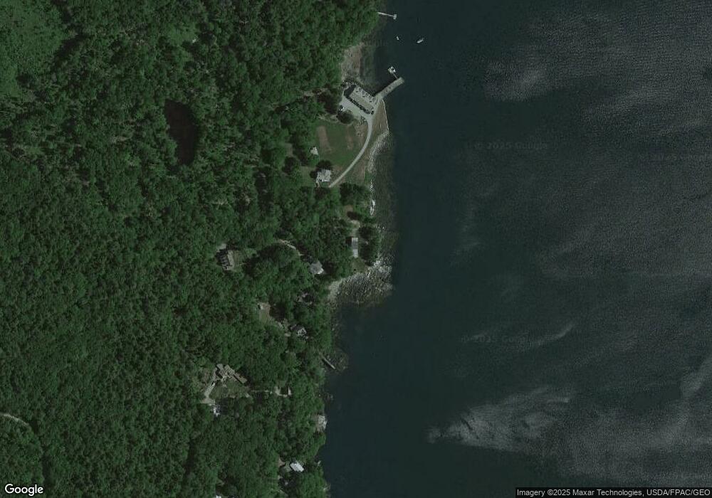
Map
Nearby Homes
- 31 Viking Way
- Lot 009 Reny Rd
- 1276 State Route 32
- Lot 10.6 Louds Island
- 153 Back Shore Rd
- 359 Lower Round Pond Rd
- 12 Nonesuch Ln
- M6l54
- 146 Lower Round Pond Rd
- 17 Eastwood Ct
- M6L54 Bristol Rd
- M6L53 Bristol Rd
- Lot 149 Bristol Rd
- 033-1 Bristol Rd
- 25 & 26 Maine 32
- 9 Bearces Hill Rd
- 1212 Bristol Rd
- 36 Eastwood Ct
- 00 Fir Hollow Rd
- 0 Sodom Rd
- 11 Spruce Hill Rd
- 15 Spruce Hill Rd
- 0 Moxie Cove Rd Unit 6 722903
- 0 Moxie Cove Rd Unit 628935
- 0 Moxie Cove Rd Unit 367541
- 0 Moxie Cove Rd Unit 719666
- 0 Moxie Cove Rd Unit 6 595555
- 0 Moxie Cove Rd Unit 378845
- 0 Moxie Cove Rd Unit 378839
- 0 Moxie Cove Rd Unit 3 217871
- 0 Moxie Cove Rd
- 150 Moxie Cove Rd
- 15 Spruce Hill Dr
- 15 Black Spruce Rd
- 149 Moxie Cove Rd
- 34 Viking Way
- 40 Reny Rd
- 0 Reny Rd
- 57 Reny Rd
- 61 Reny Rd