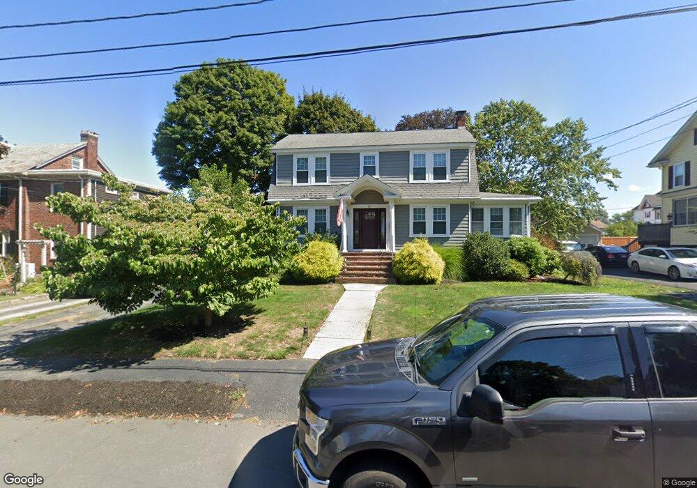
10 Spruce St Braintree, MA 02184
East Braintree NeighborhoodEstimated Value: $821,172 - $938,000
3
Beds
2
Baths
2,588
Sq Ft
$336/Sq Ft
Est. Value
About This Home
This home is located at 10 Spruce St, Braintree, MA 02184 and is currently estimated at $868,293, approximately $335 per square foot. 10 Spruce St is a home located in Norfolk County with nearby schools including Braintree High School, Meeting House Montessori School, and South Shore SDA School.
Ownership History
Date
Name
Owned For
Owner Type
Purchase Details
Closed on
Jul 20, 2010
Sold by
Butler James and Butler Maureen
Bought by
Gravelle Jason E and Gravelle Patricia K
Current Estimated Value
Home Financials for this Owner
Home Financials are based on the most recent Mortgage that was taken out on this home.
Original Mortgage
$364,500
Outstanding Balance
$243,423
Interest Rate
4.82%
Mortgage Type
Purchase Money Mortgage
Estimated Equity
$624,870
Purchase Details
Closed on
Jul 31, 2002
Sold by
Corcoran Dennis R and Corcoran Mary K
Bought by
Butler James
Home Financials for this Owner
Home Financials are based on the most recent Mortgage that was taken out on this home.
Original Mortgage
$299,600
Interest Rate
6.64%
Mortgage Type
Purchase Money Mortgage
Create a Home Valuation Report for This Property
The Home Valuation Report is an in-depth analysis detailing your home's value as well as a comparison with similar homes in the area
Home Values in the Area
Average Home Value in this Area
Purchase History
| Date | Buyer | Sale Price | Title Company |
|---|---|---|---|
| Gravelle Jason E | $405,000 | -- | |
| Butler James | $374,500 | -- |
Source: Public Records
Mortgage History
| Date | Status | Borrower | Loan Amount |
|---|---|---|---|
| Open | Gravelle Jason E | $364,500 | |
| Previous Owner | Butler James | $299,600 |
Source: Public Records
Tax History Compared to Growth
Tax History
| Year | Tax Paid | Tax Assessment Tax Assessment Total Assessment is a certain percentage of the fair market value that is determined by local assessors to be the total taxable value of land and additions on the property. | Land | Improvement |
|---|---|---|---|---|
| 2025 | $6,950 | $696,400 | $327,600 | $368,800 |
| 2024 | $6,256 | $659,900 | $305,400 | $354,500 |
| 2023 | $5,954 | $610,000 | $274,400 | $335,600 |
| 2022 | $5,806 | $583,500 | $247,900 | $335,600 |
| 2021 | $5,380 | $540,700 | $224,000 | $316,700 |
| 2020 | $5,130 | $520,300 | $203,600 | $316,700 |
| 2019 | $4,810 | $476,700 | $194,800 | $281,900 |
| 2018 | $4,718 | $447,600 | $177,100 | $270,500 |
| 2017 | $4,590 | $427,400 | $168,200 | $259,200 |
| 2016 | $4,113 | $374,600 | $141,600 | $233,000 |
| 2015 | $4,023 | $363,400 | $139,900 | $223,500 |
| 2014 | $3,814 | $334,000 | $127,500 | $206,500 |
Source: Public Records
Map
Nearby Homes
- 8 Vinton Ave Unit 10
- 39 Morrison Rd
- 39 Lawnview Dr
- 491 Washington St Unit 1
- 54 Elmlawn Rd
- 23 Bower Rd
- 37 Monatiquot Ave
- 161 Cedar St
- 10 Cochato Rd
- 106 Home Park Rd
- 63 Dickerman Ln
- 53 Parkside Ave
- 17 Judson St
- 1 Pantano St
- 69 Dobson Rd
- 31 Tingley Rd
- 25 John Paul Cir
- 78 Windemere Cir
- 9 Independence Ave Unit 105
- 71 Robbie Rd