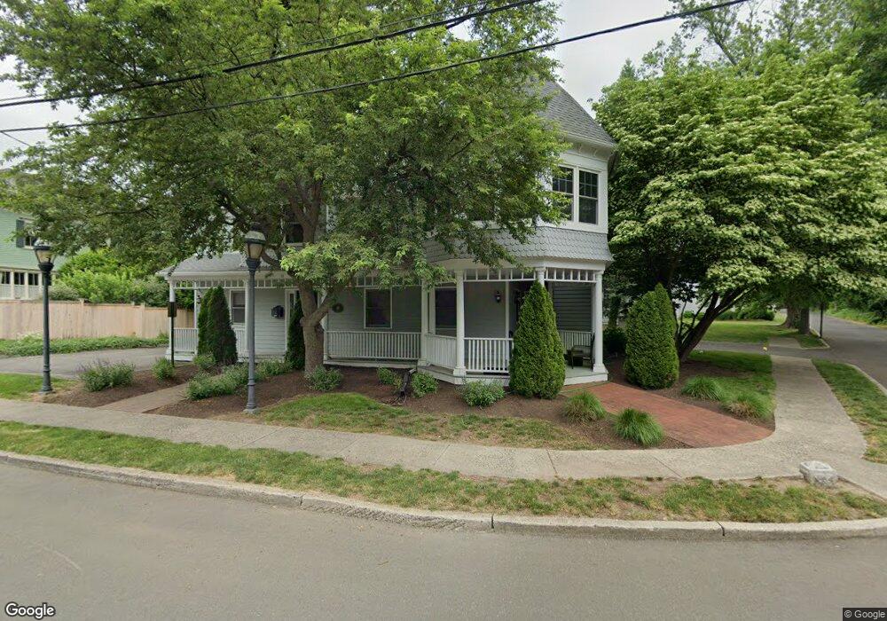
10 Spruce St Unit 1 Southport, CT 06890
Southport NeighborhoodEstimated Value: $1,576,179
--
Bed
--
Bath
3,343
Sq Ft
$471/Sq Ft
Est. Value
About This Home
This home is located at 10 Spruce St Unit 1, Southport, CT 06890 and is currently estimated at $1,576,179, approximately $471 per square foot. 10 Spruce St Unit 1 is a home located in Fairfield County with nearby schools including Mill Hill School, Roger Ludlowe Middle School, and Fairfield Ludlowe High School.
Ownership History
Date
Name
Owned For
Owner Type
Purchase Details
Closed on
Feb 12, 1998
Sold by
Ten Spruce St Assoc
Bought by
Misha Properties
Current Estimated Value
Home Financials for this Owner
Home Financials are based on the most recent Mortgage that was taken out on this home.
Original Mortgage
$400,000
Outstanding Balance
$70,497
Interest Rate
6.95%
Mortgage Type
Commercial
Estimated Equity
$1,505,682
Create a Home Valuation Report for This Property
The Home Valuation Report is an in-depth analysis detailing your home's value as well as a comparison with similar homes in the area
Home Values in the Area
Average Home Value in this Area
Purchase History
| Date | Buyer | Sale Price | Title Company |
|---|---|---|---|
| Misha Properties | $500,000 | -- | |
| Misha Properties | $500,000 | -- |
Source: Public Records
Mortgage History
| Date | Status | Borrower | Loan Amount |
|---|---|---|---|
| Open | Misha Properties | $400,000 | |
| Closed | Misha Properties | $400,000 |
Source: Public Records
Tax History Compared to Growth
Tax History
| Year | Tax Paid | Tax Assessment Tax Assessment Total Assessment is a certain percentage of the fair market value that is determined by local assessors to be the total taxable value of land and additions on the property. | Land | Improvement |
|---|---|---|---|---|
| 2025 | $27,383 | $964,530 | $689,010 | $275,520 |
| 2024 | $26,910 | $964,530 | $689,010 | $275,520 |
| 2023 | $26,534 | $964,530 | $689,010 | $275,520 |
| 2022 | $26,274 | $964,530 | $689,010 | $275,520 |
| 2021 | $26,023 | $964,530 | $689,010 | $275,520 |
| 2020 | $22,385 | $835,590 | $590,590 | $245,000 |
| 2019 | $22,385 | $835,590 | $590,590 | $245,000 |
| 2018 | $22,026 | $835,590 | $590,590 | $245,000 |
| 2017 | $21,575 | $835,590 | $590,590 | $245,000 |
| 2016 | $21,266 | $835,590 | $590,590 | $245,000 |
| 2015 | $20,485 | $826,350 | $624,540 | $201,810 |
| 2014 | $20,163 | $826,350 | $624,540 | $201,810 |
Source: Public Records
Map
Nearby Homes
- 2 Elmwood Dr Unit 2
- 74 Westford Dr
- 153 Pease Ave
- 60 Hulls Hwy Unit 60
- 944 Pequot Ave
- 260 Willow St
- 305 S Gate Ln
- 844 Mill Hill Terrace
- 53 Hilltop Dr
- 478 Hulls Hwy
- 88 Overhill Rd
- 6 Sunny Acres Ln
- 400 Bronson Rd
- 365 Greens Farms Rd
- 828 Sasco Hill Rd
- 775 Sasco Hill Rd
- 7 Roshab Ln
- 220 Lansdowne
- 260 Range Rd
- 342 Greens Farms Rd
- 10 Spruce St
- 153 Willow St
- 176 John St
- 172 John St
- 172 John St Unit B
- 172 John St Unit A
- 26 Spruce St
- 44 Spruce St
- 154 John St
- 33 Spruce St
- 30 Old Meadow Ln Unit 30
- 26 Old Meadow Ln Unit 26
- 46 Spruce St
- 51 Spruce St Unit 2
- 51 Spruce St Unit 1
- 62 Spruce St
- 62 Spruce St Unit 2nd
- 62 Spruce St Unit 1st
- 62 2fl Spruce St
- 62 Spruce St S Unit 1