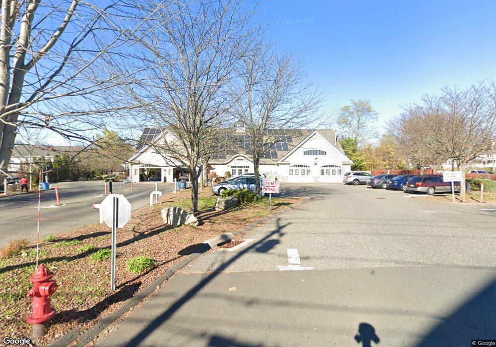
10 Station Rd Brookfield, CT 06804
Estimated Value: $1,608,446
4
Beds
2
Baths
4,498
Sq Ft
$358/Sq Ft
Est. Value
About This Home
This home is located at 10 Station Rd, Brookfield, CT 06804 and is currently estimated at $1,608,446, approximately $357 per square foot. 10 Station Rd is a home located in Fairfield County with nearby schools including Center Elementary School, Whisconier Middle School, and Rio Mesa High School.
Ownership History
Date
Name
Owned For
Owner Type
Purchase Details
Closed on
Jan 3, 2011
Sold by
Somers Dev
Bought by
Crete Realty Holdings
Current Estimated Value
Purchase Details
Closed on
Mar 3, 2010
Sold by
Union Sb
Bought by
Somers Dev Inc
Purchase Details
Closed on
Jan 19, 2005
Sold by
Ciriello Robert
Bought by
Brkf Rub-A-Dub Carspa
Purchase Details
Closed on
Mar 30, 2001
Sold by
Harrington Tr Clark
Bought by
Ciriello Roberto
Create a Home Valuation Report for This Property
The Home Valuation Report is an in-depth analysis detailing your home's value as well as a comparison with similar homes in the area
Home Values in the Area
Average Home Value in this Area
Purchase History
| Date | Buyer | Sale Price | Title Company |
|---|---|---|---|
| Crete Realty Holdings | $850,000 | -- | |
| Crete Realty Holdings | $850,000 | -- | |
| Somers Dev Inc | -- | -- | |
| Somers Dev Inc | -- | -- | |
| Brkf Rub-A-Dub Carspa | $551,000 | -- | |
| Rub-A-Dub Carspa Brkf | $551,000 | -- | |
| Ciriello Roberto | $245,000 | -- | |
| Ciriello Roberto | $245,000 | -- |
Source: Public Records
Mortgage History
| Date | Status | Borrower | Loan Amount |
|---|---|---|---|
| Previous Owner | Ciriello Roberto | $600,000 | |
| Previous Owner | Ciriello Roberto | $1,750,000 |
Source: Public Records
Tax History Compared to Growth
Tax History
| Year | Tax Paid | Tax Assessment Tax Assessment Total Assessment is a certain percentage of the fair market value that is determined by local assessors to be the total taxable value of land and additions on the property. | Land | Improvement |
|---|---|---|---|---|
| 2025 | $14,875 | $514,180 | $236,780 | $277,400 |
| 2024 | $14,346 | $514,180 | $236,780 | $277,400 |
| 2023 | $13,811 | $514,180 | $236,780 | $277,400 |
| 2022 | $13,307 | $514,180 | $236,780 | $277,400 |
| 2021 | $15,904 | $528,380 | $236,780 | $291,600 |
| 2020 | $15,666 | $528,380 | $236,780 | $291,600 |
| 2019 | $15,397 | $528,380 | $236,780 | $291,600 |
| 2018 | $6,276 | $528,380 | $236,780 | $291,600 |
| 2017 | $14,419 | $528,380 | $236,780 | $291,600 |
| 2016 | $14,840 | $562,140 | $331,500 | $230,640 |
| 2015 | $14,447 | $562,140 | $331,500 | $230,640 |
| 2014 | $14,447 | $562,140 | $331,500 | $230,640 |
Source: Public Records
Map
Nearby Homes
- 27 Riverview Ct
- 10 Riverview Ct
- 332 Still Water Cir Unit 332
- 37 Old Route 7 Unit 4
- 21 Great Heron Ln
- 22 Prospect Dr
- 24 Hillside Cir
- 44 N Mountain Rd
- 45 N Mountain Rd
- 12 Deer Run Rd
- 1 Bayberry Dr
- 47 Mist Hill Dr
- 5 Rabbit Ln
- 32 Candlewood Acres Rd
- 16 Candlewood Acres Rd
- 279 Candlewood Lake Rd
- 8 Lakeview Rd
- 44 N Lake Shore Dr
- 55 Carmen Hill Rd
- 8 Phoebee Ln
- 13 Station Rd Unit 1
- 828 Federal Rd Unit B
- 834 Federal Rd
- 15 Station Rd
- 7 Station Rd
- 7 Station Rd Unit 1
- 20 Station Rd
- 20 Station Rd
- 837 Federal Rd
- 27 Station Rd Unit B
- 27 Station Rd
- 833 Federal Rd
- 802 Federal Rd
- 802 Federal Rd
- 837 Federal Rd
- 89 Laurel Hill Rd
- 87 Laurel Hill Rd
- 91 Laurel Hill Rd
- 839 Federal Rd
- 85 Laurel Hill Rd