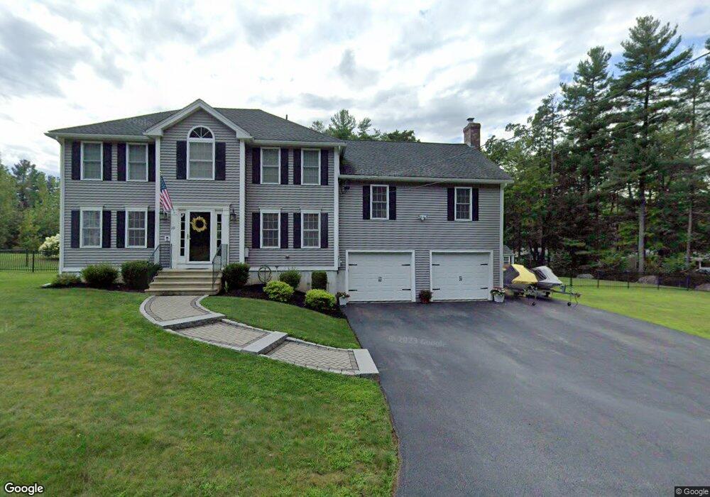
10 Stearns Ln Holden, MA 01520
Estimated Value: $732,000 - $822,000
3
Beds
3
Baths
2,248
Sq Ft
$344/Sq Ft
Est. Value
About This Home
This home is located at 10 Stearns Ln, Holden, MA 01520 and is currently estimated at $773,342, approximately $344 per square foot. 10 Stearns Ln is a home with nearby schools including Wachusett Regional High School, Holden Christian Academy, and Bancroft School.
Ownership History
Date
Name
Owned For
Owner Type
Purchase Details
Closed on
Jun 18, 2010
Sold by
Blair Ent Inc
Bought by
Butland Jason P and Butland Kimberly H
Current Estimated Value
Home Financials for this Owner
Home Financials are based on the most recent Mortgage that was taken out on this home.
Original Mortgage
$160,000
Outstanding Balance
$107,548
Interest Rate
5.03%
Mortgage Type
Purchase Money Mortgage
Estimated Equity
$665,794
Create a Home Valuation Report for This Property
The Home Valuation Report is an in-depth analysis detailing your home's value as well as a comparison with similar homes in the area
Home Values in the Area
Average Home Value in this Area
Purchase History
| Date | Buyer | Sale Price | Title Company |
|---|---|---|---|
| Butland Jason P | $367,744 | -- | |
| Butland Jason P | $367,744 | -- |
Source: Public Records
Mortgage History
| Date | Status | Borrower | Loan Amount |
|---|---|---|---|
| Open | Butland Jason P | $160,000 | |
| Closed | Butland Jason P | $160,000 |
Source: Public Records
Tax History Compared to Growth
Tax History
| Year | Tax Paid | Tax Assessment Tax Assessment Total Assessment is a certain percentage of the fair market value that is determined by local assessors to be the total taxable value of land and additions on the property. | Land | Improvement |
|---|---|---|---|---|
| 2025 | $9,067 | $654,200 | $192,100 | $462,100 |
| 2024 | $8,674 | $613,000 | $186,400 | $426,600 |
| 2023 | $8,295 | $553,400 | $162,100 | $391,300 |
| 2022 | $7,866 | $475,000 | $126,700 | $348,300 |
| 2021 | $7,623 | $438,100 | $120,600 | $317,500 |
| 2020 | $7,461 | $438,900 | $114,900 | $324,000 |
| 2019 | $7,284 | $417,400 | $114,900 | $302,500 |
| 2018 | $7,005 | $397,800 | $109,400 | $288,400 |
| 2017 | $6,769 | $384,800 | $109,400 | $275,400 |
| 2016 | $6,319 | $366,300 | $104,100 | $262,200 |
| 2015 | $6,451 | $356,000 | $104,100 | $251,900 |
| 2014 | $6,319 | $356,000 | $104,100 | $251,900 |
Source: Public Records
Map
Nearby Homes
- 382 Malden St
- 687 Bullard St
- 324 Chapel St
- 28 Meadow Wood Dr
- 42 Mark Bradford Dr
- 119 Winthrop Ln
- 31 Crestview Dr
- 56 Highland Ave
- 36 Wilde Willow Dr
- 76 Flagler Dr
- 29 Appletree Ln
- 16 Highland Ave
- 8 (Lot 1) Holmes Dr
- 216 River St
- 48 Phillips Rd Unit 14
- 160 Shrewsbury St
- 84 Wyoming Dr
- 9 Holmes Dr
- 9 Short St
- 7 Holmes Dr