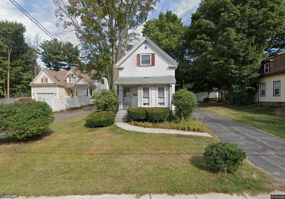
10 Stevens St Stoneham, MA 02180
Colonial Park NeighborhoodEstimated Value: $629,000 - $734,000
3
Beds
2
Baths
1,687
Sq Ft
$411/Sq Ft
Est. Value
About This Home
This home is located at 10 Stevens St, Stoneham, MA 02180 and is currently estimated at $693,761, approximately $411 per square foot. 10 Stevens St is a home located in Middlesex County with nearby schools including Stoneham High School, St. Patrick Elementary School, and Greater Boston Academy.
Ownership History
Date
Name
Owned For
Owner Type
Purchase Details
Closed on
Mar 11, 2021
Sold by
Irene B Cain Irt
Bought by
Barren James L and Barren Jessica J
Current Estimated Value
Purchase Details
Closed on
Nov 30, 2007
Sold by
Cain Irene B
Bought by
Irene B Cain Irt and Barren Donald J
Purchase Details
Closed on
Aug 11, 1989
Sold by
Restuccia William F
Bought by
Trisite Corp
Create a Home Valuation Report for This Property
The Home Valuation Report is an in-depth analysis detailing your home's value as well as a comparison with similar homes in the area
Home Values in the Area
Average Home Value in this Area
Purchase History
| Date | Buyer | Sale Price | Title Company |
|---|---|---|---|
| Barren James L | $215,000 | None Available | |
| Irene B Cain Irt | -- | -- | |
| Trisite Corp | $250,000 | -- | |
| Trisite Corp | $250,000 | -- |
Source: Public Records
Mortgage History
| Date | Status | Borrower | Loan Amount |
|---|---|---|---|
| Previous Owner | Trisite Corp | $91,650 | |
| Previous Owner | Trisite Corp | $65,000 |
Source: Public Records
Tax History Compared to Growth
Tax History
| Year | Tax Paid | Tax Assessment Tax Assessment Total Assessment is a certain percentage of the fair market value that is determined by local assessors to be the total taxable value of land and additions on the property. | Land | Improvement |
|---|---|---|---|---|
| 2025 | $5,719 | $559,000 | $354,300 | $204,700 |
| 2024 | $5,487 | $518,100 | $326,400 | $191,700 |
| 2023 | $5,122 | $461,400 | $298,400 | $163,000 |
| 2022 | $4,418 | $424,400 | $270,400 | $154,000 |
| 2021 | $4,468 | $412,900 | $261,100 | $151,800 |
| 2020 | $4,307 | $399,200 | $248,100 | $151,100 |
| 2019 | $4,025 | $385,300 | $236,500 | $148,800 |
| 2018 | $4,182 | $357,100 | $211,400 | $145,700 |
| 2017 | $4,232 | $341,600 | $196,200 | $145,400 |
| 2016 | $4,181 | $329,200 | $196,200 | $133,000 |
| 2015 | $4,034 | $311,300 | $187,300 | $124,000 |
| 2014 | $4,028 | $298,600 | $178,400 | $120,200 |
Source: Public Records
Map
Nearby Homes
- 20 Myrtle St
- 13 Washington Ave
- 4 Gavin Cir
- 6 Gavin Cir
- 43 Pomeworth St Unit 44
- 17 Franklin St
- 137 Franklin St Unit 102
- 137 Franklin St Unit 404
- 39 Tamarock Terrace
- 59 Norval Ave
- 27 Emerson St Unit 27
- 10 Pomeworth St Unit H
- 21 Tremont St Unit A
- 17 Emerson St Unit A
- 17A 17 B Emerson
- 32 Garden Rd
- 25 Penny Ln
- 159 Franklin St Unit C2
- 34 Duncklee Ave
- 14 Dinanno Rd