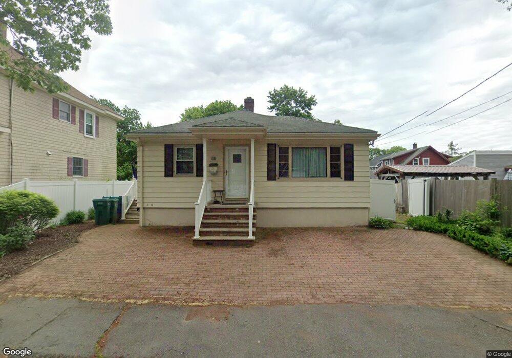
10 Stocker Ave Lynn, MA 01904
Lynn Woods NeighborhoodEstimated Value: $598,137 - $632,000
3
Beds
1
Bath
1,264
Sq Ft
$489/Sq Ft
Est. Value
About This Home
This home is located at 10 Stocker Ave, Lynn, MA 01904 and is currently estimated at $618,534, approximately $489 per square foot. 10 Stocker Ave is a home located in Essex County with nearby schools including Capt. William G. Shoemaker Elementary School, William R. Fallon School, and Pickering Middle School.
Ownership History
Date
Name
Owned For
Owner Type
Purchase Details
Closed on
Jun 12, 2009
Sold by
Fee Paul J
Bought by
Arsenault Christopher E
Current Estimated Value
Home Financials for this Owner
Home Financials are based on the most recent Mortgage that was taken out on this home.
Original Mortgage
$283,765
Outstanding Balance
$179,770
Interest Rate
4.82%
Mortgage Type
Purchase Money Mortgage
Estimated Equity
$438,764
Purchase Details
Closed on
Jul 17, 1998
Sold by
Woodworth Catherine M and Woodworth Delores K
Bought by
Fee Paul J and Fee Mary L
Create a Home Valuation Report for This Property
The Home Valuation Report is an in-depth analysis detailing your home's value as well as a comparison with similar homes in the area
Home Values in the Area
Average Home Value in this Area
Purchase History
| Date | Buyer | Sale Price | Title Company |
|---|---|---|---|
| Arsenault Christopher E | $289,000 | -- | |
| Fee Paul J | $156,000 | -- |
Source: Public Records
Mortgage History
| Date | Status | Borrower | Loan Amount |
|---|---|---|---|
| Open | Fee Paul J | $283,765 | |
| Previous Owner | Fee Paul J | $25,000 | |
| Previous Owner | Fee Paul J | $192,610 |
Source: Public Records
Tax History
| Year | Tax Paid | Tax Assessment Tax Assessment Total Assessment is a certain percentage of the fair market value that is determined by local assessors to be the total taxable value of land and additions on the property. | Land | Improvement |
|---|---|---|---|---|
| 2025 | $5,804 | $560,200 | $214,500 | $345,700 |
| 2024 | $5,468 | $519,300 | $205,600 | $313,700 |
| 2023 | $5,665 | $508,100 | $229,000 | $279,100 |
| 2022 | $5,012 | $403,200 | $165,900 | $237,300 |
| 2021 | $4,911 | $376,900 | $159,800 | $217,100 |
| 2020 | $4,841 | $361,300 | $151,000 | $210,300 |
| 2019 | $4,595 | $321,300 | $127,100 | $194,200 |
| 2018 | $4,890 | $322,800 | $152,800 | $170,000 |
| 2017 | $4,752 | $304,600 | $142,500 | $162,100 |
| 2016 | $4,543 | $280,800 | $132,700 | $148,100 |
| 2015 | $4,400 | $262,700 | $131,300 | $131,400 |
Source: Public Records
Map
Nearby Homes
- 2 Anchor Rd
- 54 Harris Rd
- 217 Cedar Brook Rd
- 26 Joel Cir
- 151 Dartmouth St
- 325 Den Quarry Rd
- 115 Quinn Rd
- 13 Ralph Rd
- 333 Lynnfield St
- 75 Park Rd
- 233 Bartholomew St
- 4 Pulver Dr
- 11 Pulver Dr
- 30 Longwood Rd
- 12 Mansfield St
- 60r Lynnbrook Rd
- 103 Kernwood Dr
- 1200 Salem St Unit 190
- 1200 Salem St Unit 168
- 1200 Salem St Unit 151
Your Personal Tour Guide
Ask me questions while you tour the home.