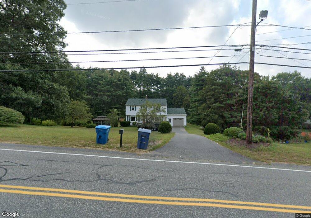
10 Sturbridge Rd Holland, MA 01521
Estimated Value: $386,679 - $457,000
3
Beds
3
Baths
1,700
Sq Ft
$249/Sq Ft
Est. Value
About This Home
This home is located at 10 Sturbridge Rd, Holland, MA 01521 and is currently estimated at $422,920, approximately $248 per square foot. 10 Sturbridge Rd is a home located in Hampden County with nearby schools including Holland Elementary School, Tantasqua Regional Junior High School, and Tantasqua Regional High School.
Ownership History
Date
Name
Owned For
Owner Type
Purchase Details
Closed on
Jun 24, 2025
Sold by
Aptt Jeffrey G
Bought by
Aptt Ft and Aptt
Current Estimated Value
Purchase Details
Closed on
Jan 3, 2005
Sold by
Leclair Michael W
Bought by
Calcutt-Leclair Elaine M
Home Financials for this Owner
Home Financials are based on the most recent Mortgage that was taken out on this home.
Original Mortgage
$92,600
Interest Rate
5.73%
Mortgage Type
Purchase Money Mortgage
Create a Home Valuation Report for This Property
The Home Valuation Report is an in-depth analysis detailing your home's value as well as a comparison with similar homes in the area
Home Values in the Area
Average Home Value in this Area
Purchase History
| Date | Buyer | Sale Price | Title Company |
|---|---|---|---|
| Aptt Ft | -- | -- | |
| Aptt Ft | -- | -- | |
| Calcutt-Leclair Elaine M | -- | -- | |
| Calcutt-Leclair Elaine M | -- | -- | |
| Calcutt-Leclair Elaine M | -- | -- |
Source: Public Records
Mortgage History
| Date | Status | Borrower | Loan Amount |
|---|---|---|---|
| Previous Owner | Calcutt-Leclair Elaine M | $92,600 |
Source: Public Records
Tax History Compared to Growth
Tax History
| Year | Tax Paid | Tax Assessment Tax Assessment Total Assessment is a certain percentage of the fair market value that is determined by local assessors to be the total taxable value of land and additions on the property. | Land | Improvement |
|---|---|---|---|---|
| 2025 | $3,697 | $284,800 | $44,800 | $240,000 |
| 2024 | $3,587 | $264,700 | $44,600 | $220,100 |
| 2023 | $3,409 | $260,400 | $44,600 | $215,800 |
| 2022 | $3,344 | $215,200 | $39,900 | $175,300 |
| 2021 | $3,367 | $202,600 | $34,700 | $167,900 |
| 2020 | $3,367 | $202,600 | $34,700 | $167,900 |
| 2019 | $3,106 | $186,000 | $34,600 | $151,400 |
| 2018 | $3,087 | $181,600 | $30,500 | $151,100 |
| 2017 | $3,022 | $178,600 | $30,500 | $148,100 |
| 2016 | $2,928 | $182,100 | $32,500 | $149,600 |
| 2015 | $2,863 | $176,400 | $32,500 | $143,900 |
Source: Public Records
Map
Nearby Homes
- 0 E Brimfield Rd
- 54 Mashapaug Rd
- 44 Mashapaug Rd
- 2 Farrar Dr
- 6 Kimball Hill Rd
- 9 Chandler Rd
- 3 Sunset Ln
- 77 Vinton Rd
- 122 Vinton Rd
- 26 Stony Hill Rd
- 17 Vinton Rd
- 266 Holland Rd
- 88 Stafford Holland Rd
- 145 Main St
- 249 Holland Rd
- 60 Gilbronson Rd
- 344 Leadmine Rd
- 203 Wales Rd
- 99 Breakneck Rd
- 10 Church St
- 6 Sturbridge Rd
- 11 Mashapaug Rd
- 0 Mashapaug L;5 Unit 72416161
- 5 Mashapaug Rd
- 13 Mashapaug Rd
- 20 Sturbridge Rd
- 1 Mashapaug Rd
- 3 Sturbridge Rd
- 1 Sturbridge Rd
- 1 Sturbridge Rd
- 1 Sturbridge Rd
- 4 Brimfield Rd
- 2 Sturbridge Rd
- 1 E Brimfield Rd
- 0 Sturbridge Rd
- 2 Mashapaug Rd
- 2 Mashapaug Rd
- 0 Mashapaug Rd
- 24 Sand Hill Rd
- 0 Sand Hill Rd Unit 30127075